Warringah Rd at Ellis Rd stop - Saturday schedule
| Line | Direction | Time |
|---|---|---|
| 193 | Warringah Mall | 05:50 |
| 193 | Warringah Mall | 06:50 |
| 193 | Warringah Mall | 07:50 |
| 193 | Warringah Mall | 08:50 |
| 193 | Warringah Mall | 09:20 |
| 193 | Warringah Mall | 09:50 |
| 193 | Warringah Mall | 10:20 |
| 193 | Warringah Mall | 10:50 |
| 193 | Warringah Mall | 11:20 |
| 193 | Warringah Mall | 11:50 |
| 193 | Warringah Mall | 12:20 |
| 193 | Warringah Mall | 12:50 |
| 193 | Warringah Mall | 13:20 |
| 193 | Warringah Mall | 13:50 |
| 193 | Warringah Mall | 14:20 |
| 193 | Warringah Mall | 14:50 |
| 193 | Warringah Mall | 15:20 |
| 193 | Warringah Mall | 15:50 |
| 193 | Warringah Mall | 16:20 |
| 193 | Warringah Mall | 16:50 |
| 193 | Warringah Mall | 17:20 |
| 193 | Warringah Mall | 17:50 |
| 193 | Warringah Mall | 18:20 |
| 193 | Warringah Mall | 18:50 |
| 193 | Warringah Mall | 19:20 |
Directions to Warringah Rd at Ellis Rd stop (Beacon Hill) with public transport
The following transport lines have routes that pass near Warringah Rd at Ellis Rd
How to get to Warringah Rd at Ellis Rd stop by bus?
Click on the bus route to see step by step directions with maps, line arrival times and updated time schedules.
Bus stops near Warringah Rd at Ellis Rd stop in Beacon Hill
- Government Rd after Mary St, 3 min walk,
- Tristram Rd opp Holy Trinity Anglican Church, 4 min walk,
- Holy Trinity Anglican Church, Tristram Rd, 5 min walk,
- Mary St at O'Conners Rd, 6 min walk,
- Warringah Rd at Goverment Rd, 6 min walk,
- Warringah Rd after Jones St, 6 min walk,
- Warringah Rd at Oxford Falls Rd, 8 min walk,
Bus lines to Warringah Rd at Ellis Rd stop in Beacon Hill
- 754N, Beacon Hill,
- 166, Frenchs Forest to Manly via Dee Why Beach,
- 602N, Cromer Primary to Frenchs Forest,
- 661N, Rabbett St & Forest Way to St. Augustines Brookvale,
- 680N, Wheeler Heights Shops to Balgowlah Boys High,
- 690N, Griffin & Abbott Rds to Collaroy Plateau Primary,
- 693N, Narraweena to St. Pauls High, Manly,
- 720N, Wyuna Ave & Oliver Sts to Rabbett St & Forest Way,
- 737N, Oxford Falls Road & Brooker to Frenchs Forest Public School,
- 751N, St. Johns Narraweena to Frenchs Forest Public School,
- 778N, Pittwater House to Frenchs Forest,
- 781N, Manly Wharf to Oxford Falls Grammar School,
- 615N, Beacon Hill,
- 621N, Brookvale,
- 721N, Balgowlah,
- 724N, Oliver Street near Pittwater Road,
- 732N, St Luke's Dy,
- 739N, Seaforth-Coral St,
- 774N, Pittwater House,
- 729N, Frenchs Forest,
What are the nearest stations to Warringah Rd at Ellis Rd?
The nearest stations to Warringah Rd at Ellis Rd are:
- Government Rd after Mary St is 183 meters away, 3 min walk.
- Tristram Rd opp Holy Trinity Anglican Church is 299 meters away, 4 min walk.
- Holy Trinity Anglican Church, Tristram Rd is 318 meters away, 5 min walk.
- Mary St at O'Conners Rd is 389 meters away, 6 min walk.
- Warringah Rd at Goverment Rd is 405 meters away, 6 min walk.
- Warringah Rd after Jones St is 423 meters away, 6 min walk.
- Warringah Rd at Oxford Falls Rd is 585 meters away, 8 min walk.
Which bus lines stop near Warringah Rd at Ellis Rd?
These bus lines stop near Warringah Rd at Ellis Rd: 166, 193.
What’s the nearest bus station to Warringah Rd at Ellis Rd in Beacon Hill?
The nearest bus station to Warringah Rd at Ellis Rd in Beacon Hill is Government Rd after Mary St. It’s a 3 min walk away.
What time is the first bus to Warringah Rd at Ellis Rd in Beacon Hill?
The 166 is the first bus that goes to Warringah Rd at Ellis Rd in Beacon Hill. It stops nearby at 03:28.
What time is the last bus to Warringah Rd at Ellis Rd in Beacon Hill?
The 166 is the last bus that goes to Warringah Rd at Ellis Rd in Beacon Hill. It stops nearby at 00:12.
Warringah Rd at Ellis Rd station
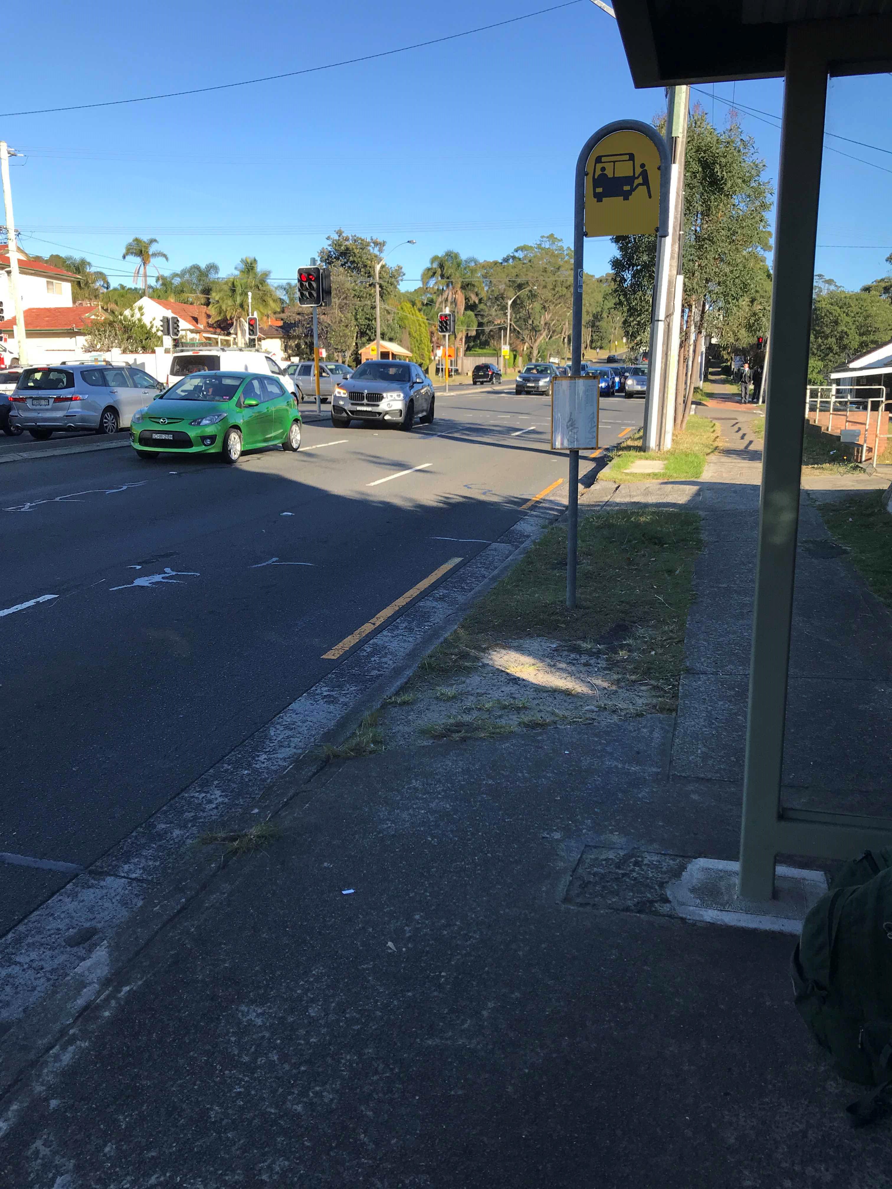 Taken by Anonymous
See Warringah Rd at Ellis Rd stop, Beacon Hill, on the map
Public transport to Warringah Rd at Ellis Rd stop (ID: 2100143) in Beacon Hill
Looking for directions to Warringah Rd at Ellis Rd in Beacon Hill, Australia?
Download the Moovit App to find the current schedule and step-by-step directions for Bus, Metro or Train routes that pass through Warringah Rd at Ellis Rd.
Looking for the nearest stops closest to Warringah Rd at Ellis Rd ? Check out this list of closest stops to your destination: Government Rd after Mary St; Tristram Rd opp Holy Trinity Anglican Church; Holy Trinity Anglican Church; Mary St at O'Conners Rd; Warringah Rd at Goverment Rd; Warringah Rd after Jones St; Warringah Rd at Oxford Falls Rd.
Bus: 166, 193, 754N, 602N, 661N, 680N, 690N, 615N, 621N, 721N, 724N, 732N, 729N, 174X, 600N, 649N, 659N, 660N, 695N, 702N, 710N, 730N.
We make riding on public transit to Warringah Rd at Ellis Rd easy, which is why over 1.5 million users, including users in Beacon Hill trust Moovit as the best app for public transit.
Use the app to navigate to popular places including to the airport, hospital, stadium, grocery store, mall, coffee shop, school, college, and university.
Warringah Rd at Ellis Rd stop’s code is 2100143
The first line to this stop is 193, at 05:50, and the last line is 193 at 22:20.
240 Warringah Road, Beacon Hill, NSW, Australia
This stop serves Keolis Downer Northern Beaches and CDC NSW R14’s lines
Bus stops near Warringah Rd at Ellis Rd stop
Popular public transport stations in Beacon Hill
Get around Beacon Hill by public transport!
Travelling around Beacon Hill has never been so easy. See step by step directions as you travel to any attraction, street or major public transport station. View bus and train timetables, arrival times, service alerts and detailed routes on a map, so you know exactly how to get to anywhere in Beacon Hill.
When travelling to any destination around Beacon Hill use Moovit's Live Directions with Get Off Notifications to know exactly where and how far to walk, how long to wait for your line , and how many stops are left. Moovit will alert you when it’s time to get off — no need to constantly re-check whether yours is the next stop.
Wondering how to use public transport in Beacon Hill or how to pay for public transport in Beacon Hill? Moovit public transport app can help you navigate your way with public transport easily, and at minimum cost. It includes public transport fees, ticket prices, and costs. Looking for a map of Beacon Hill public transport lines? Moovit public transport app shows all public transport maps in Beacon Hill with all Bus, Train, Metro, Light rail and Ferry routes and stops on an interactive map.
Sydney has 5 transport type(s), including: Bus, Train, Metro, Light rail and Ferry, operated by several transport agencies, including Sydney Metro, Sydney Trains, Sydney Light Rail, Sydney Ferries, Intercity Trains, Intercity Train, NSW TrainLink, CDC NSW R14, U-Go Mobility, Keolis Downer Northern Beaches, Transdev John Holland Buses, Busways, Busways North West, Cann's Bus Management and Baldwin's Bus Service