Weoley Castle Post Office stop - Wednesday schedule
| Line | Direction | Time |
|---|---|---|
| 48 | West Bromwich Bus Station | 05:13 |
| 48 | West Bromwich Bus Station | 05:13 |
| X21 | The Square Peg | 05:17 |
| X21 | The Square Peg | 05:17 |
| 48 | West Bromwich Bus Station | 05:43 |
| 48 | West Bromwich Bus Station | 05:43 |
| X21 | The Square Peg | 05:46 |
| X21 | The Square Peg | 05:46 |
| X21 | The Square Peg | 06:04 |
| X21 | The Square Peg | 06:04 |
| 48 | West Bromwich Bus Station | 06:12 |
| 48 | West Bromwich Bus Station | 06:12 |
| X21 | The Square Peg | 06:23 |
| X21 | The Square Peg | 06:23 |
| 48 | West Bromwich Bus Station | 06:32 |
| 48 | West Bromwich Bus Station | 06:32 |
| X21 | The Square Peg | 06:40 |
| X21 | The Square Peg | 06:40 |
| 48 | West Bromwich Bus Station | 06:53 |
| 48 | West Bromwich Bus Station | 06:53 |
| X21 | The Square Peg | 06:58 |
| X21 | The Square Peg | 06:58 |
| 48 | West Bromwich Bus Station | 07:09 |
| 48 | West Bromwich Bus Station | 07:09 |
| X21 | The Square Peg | 07:13 |
Directions to Weoley Castle Post Office stop (Weoley & Selly Oak) with public transport
The following transport lines have routes that pass near Weoley Castle Post Office
 Bus: 002, 48, X21, 39, 39A.
- Train: WEST MIDLANDS RAILWAY, CROSSCOUNTRY.
How to get to Weoley Castle Post Office stop by bus?
Click on the bus route to see step by step directions with maps, line arrival times and updated time schedules.
How to get to Weoley Castle Post Office stop by train?
Click on the train route to see step by step directions with maps, line arrival times and updated time schedules.
Bus stops near Weoley Castle Post Office stop in Weoley & Selly Oak
- Millennium Medical Centre, 2 min walk,
- Somerford Rd, 2 min walk,
- Ilmington Road, 4 min walk,
Train stations near Weoley Castle Post Office station in Weoley & Selly Oak
- University, 8 min walk,
Bus lines to Weoley Castle Post Office stop in Weoley & Selly Oak
- X21, Bartley Green War Memorial,
- 48, Driftwood Close,
- 002, Castle Sq, Beckbury Rd,
- 39, Longbridge Station,
- 39A, Plough Avenue,
- 39S, Longbridge Station,
What are the nearest stations to Weoley Castle Post Office?
The nearest stations to Weoley Castle Post Office are:
- Millennium Medical Centre is 70 meters away, 2 min walk.
- Somerford Rd is 116 meters away, 2 min walk.
- Ilmington Road is 261 meters away, 4 min walk.
- University is 520 meters away, 8 min walk.
Which bus lines stop near Weoley Castle Post Office?
These bus lines stop near Weoley Castle Post Office: 002, 48, X21.
Which train line stops near Weoley Castle Post Office?
WEST MIDLANDS RAILWAY (Stafford)
What’s the nearest train station to Weoley Castle Post Office in Weoley & Selly Oak?
The nearest train station to Weoley Castle Post Office in Weoley & Selly Oak is University. It’s a 8 min walk away.
What’s the nearest bus station to Weoley Castle Post Office in Weoley & Selly Oak?
The nearest bus stations to Weoley Castle Post Office in Weoley & Selly Oak are Millennium Medical Centre and Somerford Rd. The closest one is a 2 min walk away.
What time is the first train to Weoley Castle Post Office in Weoley & Selly Oak?
The WEST MIDLANDS RAILWAY is the first train that goes to Weoley Castle Post Office in Weoley & Selly Oak. It stops nearby at 05:51.
What time is the last train to Weoley Castle Post Office in Weoley & Selly Oak?
The WEST MIDLANDS RAILWAY is the last train that goes to Weoley Castle Post Office in Weoley & Selly Oak. It stops nearby at 00:04.
What time is the first bus to Weoley Castle Post Office in Weoley & Selly Oak?
The 48 is the first bus that goes to Weoley Castle Post Office in Weoley & Selly Oak. It stops nearby at 05:10.
What time is the last bus to Weoley Castle Post Office in Weoley & Selly Oak?
The X21 is the last bus that goes to Weoley Castle Post Office in Weoley & Selly Oak. It stops nearby at 00:41.
Weoley Castle Post Office station
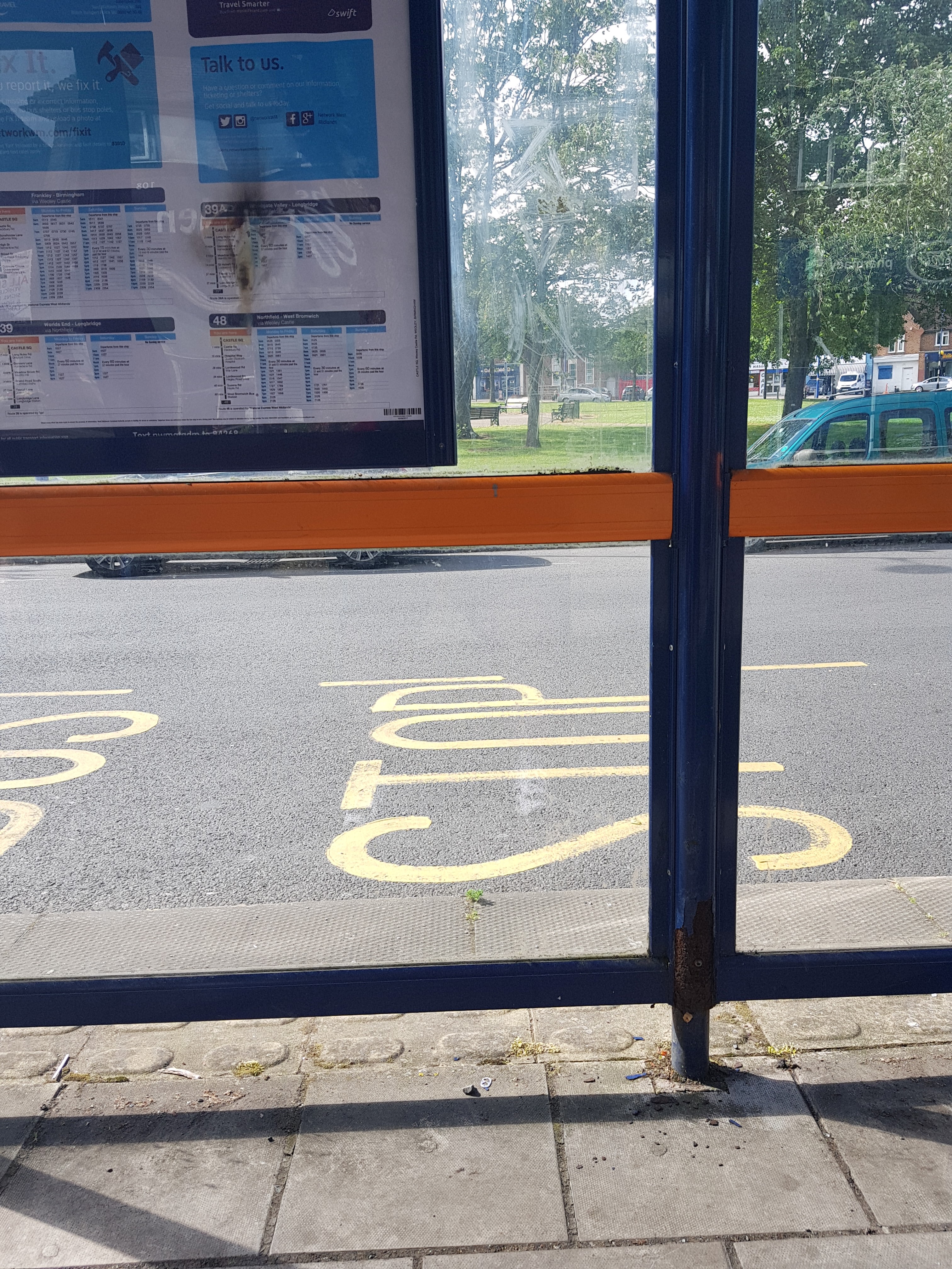 Taken by Ian W.
See Weoley Castle Post Office stop, Weoley & Selly Oak, on the map
Public transport to Weoley Castle Post Office stop (ID: nwmatgdm) in Weoley & Selly Oak
Looking for directions to Weoley Castle Post Office in Weoley & Selly Oak, United Kingdom?
Download the Moovit App to find the current schedule and step-by-step directions for Bus or Train routes that pass through Weoley Castle Post Office.
Looking for the nearest stops closest to Weoley Castle Post Office ? Check out this list of closest stops to your destination: Millennium Medical Centre; Somerford Rd; Ilmington Road; University.
Bus: 002, 48, X21, 39, 39A, 39S.Train: WEST MIDLANDS RAILWAY, CROSSCOUNTRY.
We make riding on public transit to Weoley Castle Post Office easy, which is why over 1.5 million users, including users in Weoley & Selly Oak trust Moovit as the best app for public transit.
Use the app to navigate to popular places including to the airport, hospital, stadium, grocery store, mall, coffee shop, school, college, and university.
Weoley Castle Post Office stop’s code is nwmatgdm
The first line to this stop is 48, at 05:13, and the last line is X21 at 00:05.
This stop serves Kevs Cars and Coaches and National Express West Midlands’s lines
Popular routes from Weoley Castle Post Office stop, Weoley & Selly Oak
- Millennium Medical Centre,
- Somerford Rd,
- Ilmington Road
Bus stops near Weoley Castle Post Office stop
- University
Train station near Weoley Castle Post Office station
- Plough & Harrow Hotel,
- Wednesfield Academy,
- Parliament Street,
- Chase Terrace Academy,
- Hagley- Little Chef- Cross Keys Shelter,
- Friston Ave,
- St Peter's Tesco,
- Dunchurch Park Hotel,
- Rebecca Road,
- Pool Meadow Bus Station,
- Walsall Bus Station,
- Crescent Theatre,
- Castle Gate Island,
- St John Wall School,
- Shard End Crescent,
- Mcarthurglen Retail Outlet,
- D & G Bus Depot,
- Sir Hiltons Rd,
- Light Hall School,
- Paramount Showrooms
Popular public transport stations in Weoley & Selly Oak
Get around Weoley & Selly Oak by public transport!
Travelling around Weoley & Selly Oak has never been so easy. See step by step directions as you travel to any attraction, street or major public transport station. View bus and train timetables, arrival times, service alerts and detailed routes on a map, so you know exactly how to get to anywhere in Weoley & Selly Oak.
When travelling to any destination around Weoley & Selly Oak use Moovit's Live Directions with Get Off Notifications to know exactly where and how far to walk, how long to wait for your line , and how many stops are left. Moovit will alert you when it’s time to get off — no need to constantly re-check whether yours is the next stop.
Wondering how to use public transport in Weoley & Selly Oak or how to pay for public transport in Weoley & Selly Oak? Moovit public transport app can help you navigate your way with public transport easily, and at minimum cost. It includes public transport fees, ticket prices, and costs. Looking for a map of Weoley & Selly Oak public transport lines? Moovit public transport app shows all public transport maps in Weoley & Selly Oak with all Bus, Train and Light rail routes and stops on an interactive map.
West Midlands has 3 transport type(s), including: Bus, Train and Light rail, operated by several transport agencies, including National Express West Midlands, National Express Coventry, National Express, Diamond Bus, Arriva Midlands, Stagecoach Midlands, West Midlands Metro, Stagecoach West, Stagecoach South Wales, First Potteries, First Worcestershire, LandFlight, trentbarton, D & G Bus and Flexibus