The Most Popular Urban Mobility App in South Holland.
All local mobility options in one app
The following transport lines have routes that pass near Whaplode Drove
Click on the Bus route to see step by step directions with maps, line arrival times and updated time schedules.
The nearest stations to Whaplode Drove are:
These Bus lines stop near Whaplode Drove: 43
The nearest bus stop to Whaplode Drove in South Holland is Bus Shelter, Whaplode Drove. It’s a 3 min walk away.
The S137S is the first Bus that goes to Whaplode Drove in South Holland. It stops nearby at 07:53.
The S137S is the last Bus that goes to Whaplode Drove in South Holland. It stops nearby at 16:30.
Wondering how to get to Whaplode Drove in South Holland, United Kingdom? Moovit helps you find the best way to get to Whaplode Drove with step-by-step directions from the nearest public transit station.
Moovit provides free maps and live directions to help you navigate through your city. View schedules, routes, timetables, and find out how long does it take to get to Whaplode Drove in real time.
Looking for the nearest stop or station to Whaplode Drove? Check out this list of stops closest to your destination: Bus Shelter.
Bus:
Want to see if there’s another route that gets you there at an earlier time? Moovit helps you find alternative routes or times. Get directions from and directions to Whaplode Drove easily from the Moovit App or Website.
We make riding to Whaplode Drove easy, which is why over 1.5 million users, including users in South Holland, trust Moovit as the best app for public transit. You don’t need to download an individual bus app or train app, Moovit is your all-in-one transit app that helps you find the best bus time or train time available.
For information on prices of Bus, costs and ride fares to Whaplode Drove, please check the Moovit app.
Use the app to navigate to popular places including to the airport, hospital, stadium, grocery store, mall, coffee shop, school, college, and university.
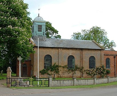
Whaplode Drove Address: Farrow Road street in South Holland