כביש 411/זרנוקה stop - Thursday schedule
| Line | Direction | Time |
|---|---|---|
| 51א | רחובות | 07:34 |
| 51 | רחובות | 08:40 |
| 51א | רחובות | 09:44 |
| 51 | רחובות | 10:35 |
| 51 | רחובות | 11:35 |
| 51א | רחובות | 12:44 |
| 51 | רחובות | 13:35 |
| 51א | רחובות | 14:44 |
| 51 | רחובות | 15:35 |
| 51א | רחובות | 16:44 |
| 51 | רחובות | 17:40 |
| 51 | רחובות | 18:35 |
| 51א | רחובות | 19:44 |
| 51 | רחובות | 20:15 |
| 51 | רחובות | 21:15 |
Directions to כביש 411/זרנוקה stop (רחובות) with public transit
The following transit lines have routes that pass near כביש 411/זרנוקה
How to get to כביש 411/זרנוקה stop by bus?
Click on the bus route to see step by step directions with maps, line arrival times and updated time schedules.
Bus stops near כביש 411/זרנוקה stop in רחובות
- כביש 411 /דרך הים, 3 min walk,
- ששת הימים/לוע הארי, 14 min walk,
- ששת הימים/יום הכיפורים, 15 min walk,
- גבריאלוב/טוכמן, 24 min walk,
Israel Railways stations near כביש 411/זרנוקה station in רחובות
- רכבת רחובות, 64 min walk,
Bus lines to כביש 411/זרנוקה stop in רחובות
- 51, רחובות,
- 51א, יבנה,
- 10, בית חולים קפלן/הערבה,
- 15, חניון אגד,
- 18, פרישמן/מרכז וויסגל,
- 98, רחובות,
- 272, רחובות,
- 10א, בית חולים קפלן/הערבה,
- 13א, שאול טשרניחובסקי/משה מזרחי,
- 164, פתח תקווה,
- 14, פרישמן/מרכז וויסגל,
What are the closest stations to כביש 411/זרנוקה?
The closest stations to כביש 411/זרנוקה are:
- כביש 411 /דרך הים is 152 meters away, 3 min walk.
- ששת הימים/לוע הארי is 1047 meters away, 14 min walk.
- ששת הימים/יום הכיפורים is 1130 meters away, 15 min walk.
- גבריאלוב/טוכמן is 1847 meters away, 24 min walk.
- רכבת רחובות is 4997 meters away, 64 min walk.
Which bus lines stop near כביש 411/זרנוקה?
These bus lines stop near כביש 411/זרנוקה: 48, 51, 51א.
What’s the nearest bus station to כביש 411/זרנוקה in רחובות?
The nearest bus station to כביש 411/זרנוקה in רחובות is כביש 411 /דרך הים. It’s a 3 min walk away.
What time is the first Israel Railways to כביש 411/זרנוקה in רחובות?
The אשקלון - נתניה is the first Israel Railways that goes to כביש 411/זרנוקה in רחובות. It stops nearby at 5:35 AM.
What time is the last Israel Railways to כביש 411/זרנוקה in רחובות?
The בנימינה - אשקלון is the last Israel Railways that goes to כביש 411/זרנוקה in רחובות. It stops nearby at 12:34 AM.
What time is the first bus to כביש 411/זרנוקה in רחובות?
The 164 is the first bus that goes to כביש 411/זרנוקה in רחובות. It stops nearby at 4:57 AM.
What time is the last bus to כביש 411/זרנוקה in רחובות?
The 15 is the last bus that goes to כביש 411/זרנוקה in רחובות. It stops nearby at 12:09 AM.
כביש 411/זרנוקה station
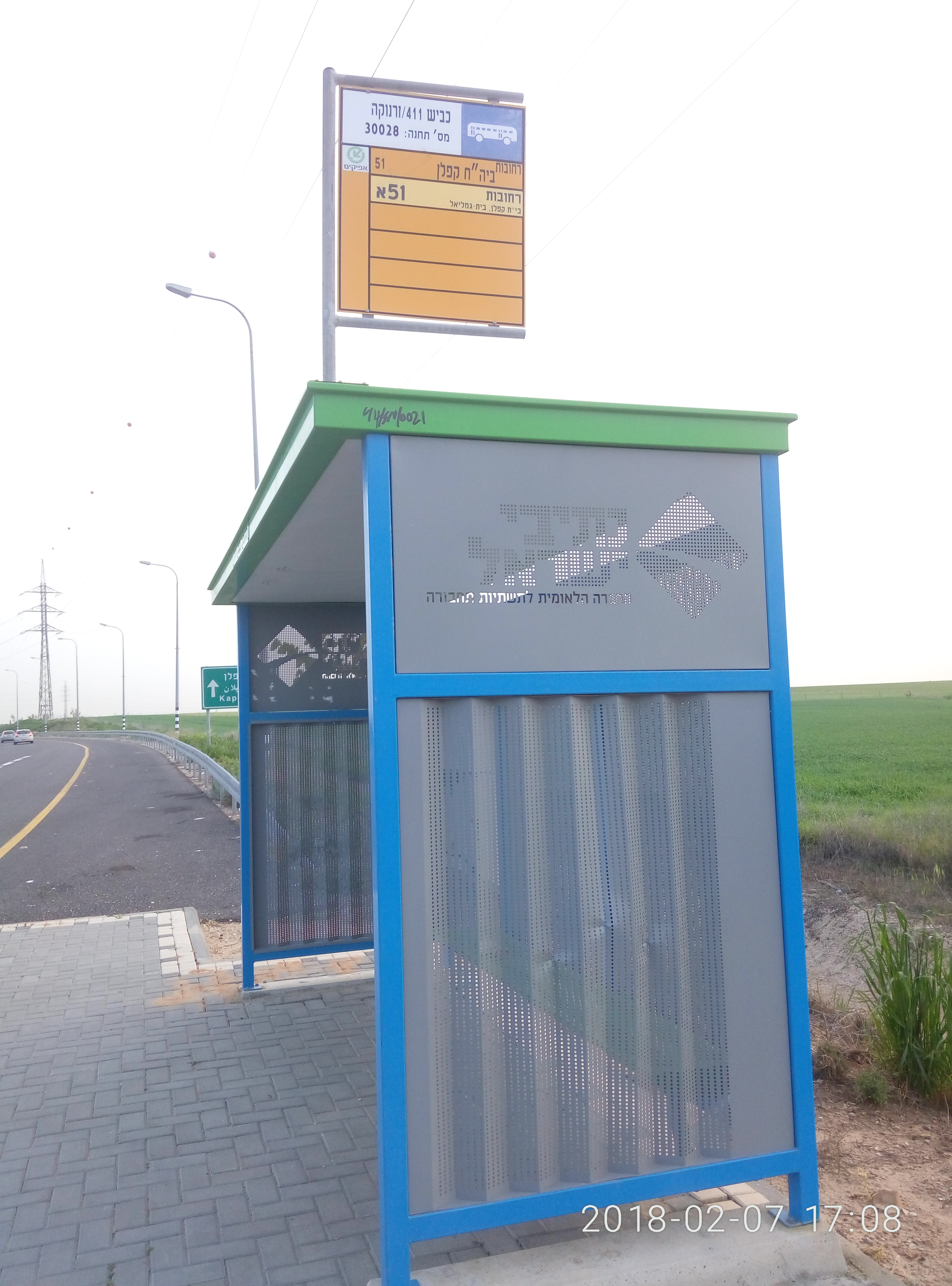 Taken by Anonymous
See כביש 411/זרנוקה stop, רחובות, on the map
Public transit to כביש 411/זרנוקה stop (ID: 30028) in רחובות
Looking for directions to כביש 411/זרנוקה in רחובות, Israel?
Download the Moovit App to find the current schedule and step-by-step directions for Bus routes that pass through כביש 411/זרנוקה.
Looking for the nearest stops closest to כביש 411/זרנוקה ? Check out this list of closest stops to your destination: כביש 411 /דרך הים; ששת הימים/לוע הארי; ששת הימים/יום הכיפורים; גבריאלוב/טוכמן; רכבת רחובות.
Bus: 48, 51, 51א, 10, 15, 18, 98, 272, 10א, 13א, 164, 14.Israel Railways: אשקלון - בנימינה, אשקלון - נתניה, אשקלון - תל אביב מרכז, באר שבע מרכז - נתניה, באר שבע מרכז - תל אביב מרכז.
We make riding on public transit to כביש 411/זרנוקה easy, which is why over 1.5 million users, including users in רחובות trust Moovit as the best app for public transit.
Use the app to navigate to popular places including to the airport, hospital, stadium, grocery store, mall, coffee shop, school, college, and university.
כביש 411/זרנוקה stop’s code is 30028
The first line to this stop is 51א, at 07:34, and the last line is 51 at 21:15.
This stop serves אלקטרה אפיקים (Electra Afikim)’s lines
Bus stops near כביש 411/זרנוקה stop
Israel Railways station near כביש 411/זרנוקה station
Popular public transit stations in רחובות
Get around רחובות by public transit!
Traveling around רחובות has never been so easy. See step by step directions as you travel to any attraction, street or major public transit station. View bus and train schedules, arrival times, service alerts and detailed routes on a map, so you know exactly how to get to anywhere in רחובות.
When traveling to any destination around רחובות use Moovit's Live Directions with Get Off Notifications to know exactly where and how far to walk, how long to wait for your line, and how many stops are left. Moovit will alert you when it's time to get off — no need to constantly re-check whether yours is the next stop.
Wondering how to use public transit in רחובות or how to pay for public transit in רחובות? Moovit public transit app can help you navigate your way with public transit easily, and at minimum cost. It includes public transit fees, ticket prices, and costs. Looking for a map of רחובות public transit lines? Moovit public transit app shows all public transit maps in רחובות with all Bus, Israel Railways, Light Rail, Carmelit / Rachbalit and Shuttle routes and stops on an interactive map.
Israel has 5 transit type(s), including: Bus, Israel Railways, Light Rail, Carmelit / Rachbalit and Shuttle, operated by several transit agencies, including דן (Dan), הרכבת הקלה תל אביב - תבל - הקו האדום, רכבת ישראל (Israel Railways), אגד (Egged), מטרופולין (Metropoline), קווים (Kavim), אלקטרה אפיקים (Electra Afikim), נתיב אקספרס (Nateev Express), אקסטרה (Extra), אקסטרה ירושלים, הרכבת הקלה ירושלים - כפיר, דרך אגד עוטף ירושלים, דן בדרום (Dan Badarom), דן באר שבע (Dan Beer-Sheva) and אלקטרה אפיקים תחבורה (Electra Afikim Tachbura)