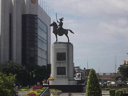
See แขวง บางยี่เรือ, Thon Buri, on the map
Directions to แขวง บางยี่เรือ (Thon Buri) with public transportation
The following transit lines have routes that pass near แขวง บางยี่เรือ
Metro:
Bus:
How to get to แขวง บางยี่เรือ by Bus?
Click on the Bus route to see step by step directions with maps, line arrival times and updated time schedules.
How to get to แขวง บางยี่เรือ by Metro?
Click on the Metro route to see step by step directions with maps, line arrival times and updated time schedules.
Which Metro lines stop near แขวง บางยี่เรือ?
These Metro lines stop near แขวง บางยี่เรือ: สายสีลม SILOM LINE
Which Bus lines stop near แขวง บางยี่เรือ?
These Bus lines stop near แขวง บางยี่เรือ: 111, 43, 9 (ปอ.) (AC)
See แขวง บางยี่เรือ, Thon Buri, on the map

Public Transit to แขวง บางยี่เรือ in Thon Buri
Wondering how to get to แขวง บางยี่เรือ in Thon Buri, Thailand? Moovit helps you find the best way to get to แขวง บางยี่เรือ with step-by-step directions from the nearest public transit station.
Moovit provides free maps and live directions to help you navigate through your city. View schedules, routes, timetables, and find out how long does it take to get to แขวง บางยี่เรือ in real time.
Metro:Bus:
Want to see if there’s another route that gets you there at an earlier time? Moovit helps you find alternative routes or times. Get directions from and directions to แขวง บางยี่เรือ easily from the Moovit App or Website.
We make riding to แขวง บางยี่เรือ easy, which is why over 1.5 million users, including users in Thon Buri, trust Moovit as the best app for public transit. You don’t need to download an individual bus app or train app, Moovit is your all-in-one transit app that helps you find the best bus time or train time available.
For information on prices of Bus and Metro, costs and ride fares to แขวง บางยี่เรือ, please check the Moovit app.
Use the app to navigate to popular places including to the airport, hospital, stadium, grocery store, mall, coffee shop, school, college, and university.
แขวง บางยี่เรือ Address: แขวง บางยี่เรือ เขต ธนบุรี กรุงเทพมหานคร 10600 ประเทศไทย street in Thon Buri

Attractions near แขวง บางยี่เรือ
- 19 มิลค์
- วัดโพธินิมิตร
- วงษ์พาณิชย์ตลาดพลู-บางยี่เรือ
- ร้านหอยทอด-ผัดไท @ ซอยวัดโพธิ์
- ป้ายรถประจำทางวัดอินทาราม
- Nanu Cafe‘
- คุณแม่ให้มา
- ลูกชายนายหมง
- ก๋วยเตี๋ยวลูกชิ้นปลานายหมง
- ซอยวัดสังข์กระจาย
- 256 เทอดไท
- โรงเรียนวัดอินทาราม
- เกาเหลาเลือดหมูระยอง
- 256 ถนน เทอดไท
- ตรอกโรงเจ
- โรงเรียนวัดอินทารามวรวิหาร
- Rongrian Wat In Tha Ram Worawihan
- Wat In Tha Ram Worawihan
- วัดอินทารามวรวิหาร
- 33 Thoet Thai Road
How to get to popular attractions in Thon Buri with public transit
- BMTA Bus Stop ท่าน้ำนนท์ (Thanam Nonthaburi), เมืองนนทบุรี
- บ้านดาวล้อมเดือน, ตลิ่งชัน
- เยาวราช, สัมพันธวงศ์
- โตโยต้าเภตรา, เมืองปทุมธานี
- หมู่บ้านทิพย์พิมาน การ์เด้น, บางบัวทอง
- ศรแก้ว ต้มตำยำเผา, ทุ่งครุ
- ดอนเมือง, ดอนเมือง
- วัดชมภูเวก, เมืองนนทบุรี
- Squeeze by Tipco (สควีซ), บางขุนเทียน
- แดรี่ควีน, ธัญบุรี
- ส้มตําคั่วแซ่บ, สายไหม
- L2-202, พุทธมณฑล
- โรงเรียนกสิณธร อาคาเดมี่, บางแค
- บ้านสวนปาล์ม, คลองหลวง
- Wall8 futsal, เมืองนนทบุรี
- ห้างสรรพสินค้าเซ็นทรัล, บางบัวทอง
- โรงเรียนรัตนาธิเบศร์, เมืองนนทบุรี
- เฉาก๊วยชากังราว กระทุ่มแบน, กระทุ่มแบน
- อยู่เจริญ วิภาวดี 37, ดอนเมือง
- Tostem Thai Co.,Ltd., คลองหลวง