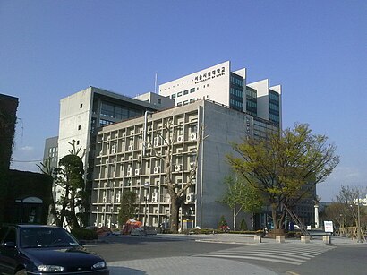
The Most Popular Urban Mobility App in 동대문구, 서울시.
All local mobility options in one app
The following transit lines have routes that pass near 서울시립대학교
Click on the Bus route to see step by step directions with maps, line arrival times and updated time schedules.
Click on the Subway route to see step by step directions with maps, line arrival times and updated time schedules.
The closest stations to 서울시립대학교 are:
These Bus lines stop near 서울시립대학교: 121, 261, 271, 3200포천, 3216, 420, 720
These Subway lines stop near 서울시립대학교: 1, 중앙선 (JUNGANG LINE)
The nearest bus stop to 서울시립대학교 in 동대문구, 서울시 is 서울시립대입구. It’s a 4 min walk away.
Wondering how to get to 서울시립대학교 in 동대문구, 서울시, South Korea? Moovit helps you find the best way to get to 서울시립대학교 with step-by-step directions from the nearest public transit station.
Moovit provides free maps and live directions to help you navigate through your city. View schedules, routes, timetables, and find out how long does it take to get to 서울시립대학교 in real time.
Looking for the nearest stop or station to 서울시립대학교? Check out this list of stops closest to your destination: 서울시립대입구; 서울성심병원; 전농사거리; 회기역종점; 전농우체국앞; 마장; 성신여대입구; 신당 - 6.
Bus:Subway:
Want to see if there’s another route that gets you there at an earlier time? Moovit helps you find alternative routes or times. Get directions from and directions to 서울시립대학교 easily from the Moovit App or Website.
We make riding to 서울시립대학교 easy, which is why over 1.5 million users, including users in 동대문구, 서울시, trust Moovit as the best app for public transit. You don’t need to download an individual bus app or train app, Moovit is your all-in-one transit app that helps you find the best bus time or train time available.
For information on prices of Bus and Subway, costs and ride fares to 서울시립대학교, please check the Moovit app.
Use the app to navigate to popular places including to the airport, hospital, stadium, grocery store, mall, coffee shop, school, college, and university.
서울시립대학교 Address: 152-177 Jeonnong 2(i)-dong, Dongdaemun-gu, Seoul, South Korea street in 동대문구, 서울시