7th / Main stop - Thursday schedule
| Line | Direction | Time |
|---|---|---|
| 51 | Cal State Dominguez Hills | 4:43 AM |
| 51 | Cal State Dominguez Hills | 5:03 AM |
| 51 | Cal State Dominguez Hills | 5:18 AM |
| 51 | Cal State Dominguez Hills | 5:33 AM |
| 51 | Avalon Station | 5:45 AM |
| 51 | Cal State Dominguez Hills | 5:56 AM |
| 51 | Avalon Station | 6:03 AM |
| 51 | Avalon Station | 6:10 AM |
| 51 | Cal State Dominguez Hills | 6:18 AM |
| DASH E | Westlake/Fashion District | 6:19 AM |
| DASH E | Westlake/Fashion District | 6:25 AM |
| 51 | Avalon Station | 6:25 AM |
| DASH E | Westlake/Fashion District | 6:31 AM |
| 51 | Avalon Station | 6:32 AM |
| DASH E | Westlake/Fashion District | 6:37 AM |
| 51 | Cal State Dominguez Hills | 6:39 AM |
| DASH E | Westlake/Fashion District | 6:43 AM |
| 51 | Avalon Station | 6:47 AM |
| DASH E | Westlake/Fashion District | 6:49 AM |
| 51 | Avalon Station | 6:53 AM |
| DASH E | Westlake/Fashion District | 6:55 AM |
| 51 | Cal State Dominguez Hills | 7:00 AM |
| DASH E | Westlake/Fashion District | 7:01 AM |
| DASH E | Westlake/Fashion District | 7:07 AM |
| 51 | Avalon Station | 7:07 AM |
Directions to 7th / Main stop (Downtown) with public transit
The following transit lines have routes that pass near 7th / Main
 Bus: 16, 4, 40, 51, 720.
- Subway: B LINE, E LINE, A LINE, D LINE.
- Train: VC LINE.
- Funicular: ANGELS FLIGHT.
How to get to 7th / Main stop by bus?
Click on the bus route to see step by step directions with maps, line arrival times and updated time schedules.
How to get to 7th / Main stop by train?
Click on the train route to see step by step directions with maps, line arrival times and updated time schedules.
How to get to 7th / Main stop by subway?
Click on the subway route to see step by step directions with maps, line arrival times and updated time schedules.
Bus stops near 7th / Main stop in Downtown
- Main St & 7th St, 1 min walk,
- 7th / Main, 1 min walk,
- Main / 7th, 1 min walk,
- Broadway / 7th, 2 min walk,
- 7th / Spring, 2 min walk,
- Spring / 7th, 2 min walk,
- 7th / Broadway, 2 min walk,
- 6th / Spring, 3 min walk,
Subway stations near 7th / Main station in Downtown
- Historic Broadway, 4 min walk,
- 7th Street / Metro Center, 10 min walk,
Funicular stations near 7th / Main station in Downtown
- Angels Flight Top Station, 9 min walk,
Bus lines to 7th / Main stop in Downtown
- DASH D, Southbound,
- DASH E, Westlake/Fashion District,
- 51, Westlake / Macarthur Park Station,
- 35/38, Washington / Fairfax Transit Hub,
- 33, Downtown La - Union Station,
- 55, Willowbrook / Rosa Parks Station,
- 92, Sylmar Metrolink Station,
- 4, Santa Monica,
- 45, Harbor Freeway Station,
- 66, Commerce Center,
- 28, Century City,
- 30, Pico - Rimpau,
- 40, LAX / Metro Transit Center,
- 799, Los Angeles,
- 785, Downtown La,
- 16, Downtown La - 6th - Los Angeles,
- 18, Commerce Center,
- 53, Willowbrook / Rosa Parks Station,
- 60, Downtown Long Beach,
What are the closest stations to 7th / Main?
The closest stations to 7th / Main are:
- Main St & 7th St stop is 47 yards away, 1 min walk.
- 7th / Main stop is 58 yards away, 1 min walk.
- Main / 7th stop is 84 yards away, 1 min walk.
- Broadway / 7th stop is 101 yards away, 2 min walk.
- 7th / Spring stop is 125 yards away, 2 min walk.
- Spring / 7th stop is 153 yards away, 2 min walk.
- 7th / Broadway stop is 161 yards away, 2 min walk.
- 6th / Spring stop is 218 yards away, 3 min walk.
- Historic Broadway station is 271 yards away, 4 min walk.
- Angels Flight Top Station is 723 yards away, 9 min walk.
- 7th Street / Metro Center station is 772 yards away, 10 min walk.
Which bus lines stop near 7th / Main?
These bus lines stop near 7th / Main: 16, 4, 40, 51, 720, 92, 94, DASH D, DASH E.
Which subway lines stop near 7th / Main?
These subway lines stop near 7th / Main: B LINE, E LINE.
Which train line stops near 7th / Main?
VC LINE (Inbound to L.A. Union Station)
What’s the nearest subway station to 7th / Main in Downtown?
The nearest subway station to 7th / Main in Downtown is Historic Broadway. It’s a 4 min walk away.
What’s the nearest bus station to 7th / Main in Downtown?
The nearest bus stations to 7th / Main in Downtown are Main St & 7th St, 7th / Main and Main / 7th. The closest one is a 1 min walk away.
What’s the nearest funicular station to 7th / Main in Downtown?
The nearest funicular station to 7th / Main in Downtown is Angels Flight Top Station. It’s a 9 min walk away.
What time is the first subway to 7th / Main in Downtown?
The E LINE is the first subway that goes to 7th / Main in Downtown. It stops nearby at 3:54 AM.
What time is the last subway to 7th / Main in Downtown?
The A LINE is the last subway that goes to 7th / Main in Downtown. It stops nearby at 12:48 AM.
What time is the first bus to 7th / Main in Downtown?
The 40 is the first bus that goes to 7th / Main in Downtown. It stops nearby at 3:02 AM.
What time is the last bus to 7th / Main in Downtown?
The 33 is the last bus that goes to 7th / Main in Downtown. It stops nearby at 3:39 AM.
What time is the first funicular to 7th / Main in Downtown?
The ANGELS FLIGHT is the first funicular that goes to 7th / Main in Downtown. It stops nearby at 6:45 AM.
What time is the last funicular to 7th / Main in Downtown?
The ANGELS FLIGHT is the last funicular that goes to 7th / Main in Downtown. It stops nearby at 10:05 PM.
7th / Main station
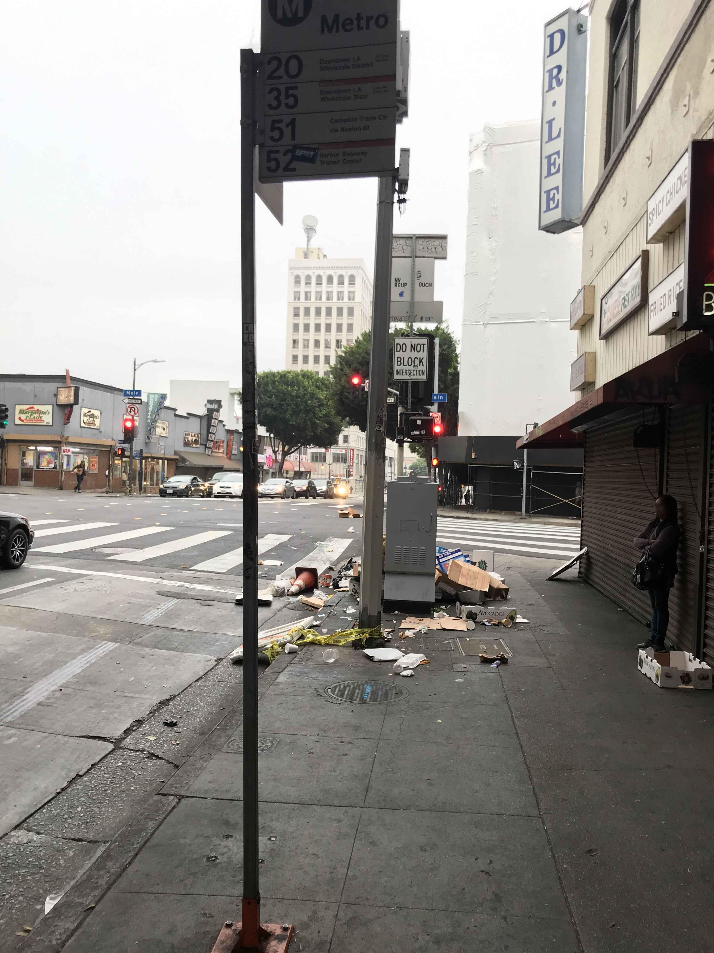 Taken by Anonymous
See 7th / Main stop, Downtown, on the map
Public transit to 7th / Main stop (ID: 9761) in Downtown
Looking for directions to 7th / Main in Downtown, United States?
Download the Moovit App to find the current schedule and step-by-step directions for Bus, Subway or Train routes that pass through 7th / Main.
Looking for the nearest stops closest to 7th / Main ? Check out this list of closest stops to your destination: Main St & 7th St; 7th / Main; Main / 7th; Broadway / 7th; 7th / Spring; Spring / 7th; 7th / Broadway; 6th / Spring; Historic Broadway; Angels Flight Top Station; 7th Street / Metro Center.
Bus: 16, 4, 40, 51, 720, 92, 94, DASH D, DASH E, 35/38, 33, 55.Subway: B LINE, E LINE, A LINE, D LINE.Train: VC LINE.Funicular: ANGELS FLIGHT.
We make riding on public transit to 7th / Main easy, which is why over 1.7 billion users, including users in Downtown trust Moovit as the best app for public transit.
Use the app to navigate to popular places including to the airport, hospital, stadium, grocery store, mall, coffee shop, school, college, and university.
7th / Main stop’s code is 9761
The first line to this stop is 51, at 4:43 AM, and the last line is 51 at 4:13 AM.
This stop serves Metro and LADOT’s lines
- Main St & 7th St,
- 7th / Main,
- Main / 7th,
- Broadway / 7th,
- 7th / Spring,
- Spring / 7th,
- 7th / Broadway,
- 6th / Spring
Bus stops near 7th / Main stop
- Historic Broadway,
- 7th Street / Metro Center
Subway stations near 7th / Main station
- Angels Flight Top Station
Funicular station near 7th / Main station
- Rosemead / Arcadia,
- Vanowen / De Soto,
- Rosecrans Av/Norwalk Blvd,
- Ventura / Coldwater Canyon,
- Figueroa / Vernon,
- Firestone / California,
- Garvey Ave. and Santa Anita Ave.,
- Norwalk Station,
- OTC,
- Orange & Somerset Blvd SW,
- Alvarado / 6th,
- Hawthorne / Century,
- Plummer & Reseda,
- Raymond / Holly,
- Topanga Canyon / Lassen,
- Florence / Miramonte,
- Magnolia & Anaheim NE,
- Olympic Blvd & Western Ave (Westbound),
- Fletcher / Larga,
- Sunset / Palisades
Popular public transit stations in Downtown
Get around Downtown by public transit!
Traveling around Downtown has never been so easy. See step by step directions as you travel to any attraction, street or major public transit station. View bus and train schedules, arrival times, service alerts and detailed routes on a map, so you know exactly how to get to anywhere in Downtown.
When traveling to any destination around Downtown use Moovit's Live Directions with Get Off Notifications to know exactly where and how far to walk, how long to wait for your line, and how many stops are left. Moovit will alert you when it's time to get off — no need to constantly re-check whether yours is the next stop.
Wondering how to use public transit in Downtown or how to pay for public transit in Downtown? Moovit public transit app can help you navigate your way with public transit easily, and at minimum cost. It includes public transit fees, ticket prices, and costs. Looking for a map of Downtown public transit lines? Moovit public transit app shows all public transit maps in Downtown with all Bus, Train, Subway, Ferry and Funicular routes and stops on an interactive map.
Los Angeles has 5 transit type(s), including: Bus, Train, Subway, Ferry and Funicular, operated by several transit agencies, including Metro, Metro Event Service, Alhambra Community Transit (ACT), Arcadia Transit, Artesia Transit, AVTA, Baldwin Park Transit, Beach Cities Transit, Beaumont Transit, Bell Gardens Town Trolley, Bellflower Bus, Big Blue Bus, Burbank Bus, Calabasas Trolley and Camarillo Area Transit