Annia Regilla/Vallericcia stop - Thursday schedule
| Line | Direction | Time |
|---|---|---|
| 765 | Laurentina (Metro B) | 5:38 AM |
| 765 | Laurentina (Metro B) | 6:05 AM |
| 663 | Ciro | 6:13 AM |
| 765 | Laurentina (Metro B) | 6:25 AM |
| 663 | Ciro | 6:35 AM |
| 765 | Laurentina (Metro B) | 6:46 AM |
| 663 | Ciro | 7:00 AM |
| 765 | Laurentina (Metro B) | 7:05 AM |
| 663 | Ciro | 7:18 AM |
| 765 | Laurentina (Metro B) | 7:25 AM |
| 663 | Ciro | 7:29 AM |
| 663 | Ciro | 7:40 AM |
| 765 | Laurentina (Metro B) | 7:44 AM |
| 663 | Ciro | 7:51 AM |
| 765 | Laurentina (Metro B) | 8:02 AM |
| 663 | Ciro | 8:03 AM |
| 765 | Laurentina (Metro B) | 8:07 AM |
| 663 | Ciro | 8:16 AM |
| 765 | Laurentina (Metro B) | 8:20 AM |
| 663 | Ciro | 8:28 AM |
| 765 | Laurentina (Metro B) | 8:38 AM |
| 663 | Ciro | 8:39 AM |
| 765 | Laurentina (Metro B) | 8:47 AM |
| 663 | Ciro | 8:49 AM |
| 765 | Laurentina (Metro B) | 8:57 AM |
Directions to Annia Regilla/Vallericcia stop (Rome) with public transit
The following transit lines have routes that pass near Annia Regilla/Vallericcia
 Bus: 663, 765, 654, L60, 664.
- Train: FL4.
- Metro: A.
How to get to Annia Regilla/Vallericcia stop by bus?
Click on the bus route to see step by step directions with maps, line arrival times and updated time schedules.
How to get to Annia Regilla/Vallericcia stop by train?
Click on the train route to see step by step directions with maps, line arrival times and updated time schedules.
How to get to Annia Regilla/Vallericcia stop by metro?
Click on the metro route to see step by step directions with maps, line arrival times and updated time schedules.
Bus stops near Annia Regilla/Vallericcia stop in Rome
- Annia Regilla/Fourth Mile, 4 min walk,
- Fourth Mile/Appia, 6 min walk,
- Appia/Fourth Mile, 8 min walk,
- Annia Regilla/Persio, 9 min walk,
- Appia Pignatelli/Carvilii, 15 min walk,
Metro stations near Annia Regilla/Vallericcia station in Rome
- Lucio Sestio, 22 min walk,
Bus lines to Annia Regilla/Vallericcia stop in Rome
- 765, Laurentina (Metro B),
- 663, Ciro,
- 654, Campo Farnia/Pellaro,
- L60, Carucci/Tax Registry,
- 664, Colli Albani Square (Ma),
- L06, Arco Di Travertino (Metro A),
- 118, Appia/Villa Dei Quintili,
What are the closest stations to Annia Regilla/Vallericcia?
The closest stations to Annia Regilla/Vallericcia are:
- Annia Regilla/Fourth Mile is 292 meters away, 4 min walk.
- Fourth Mile/Appia is 437 meters away, 6 min walk.
- Appia/Fourth Mile is 613 meters away, 8 min walk.
- Annia Regilla/Persio is 693 meters away, 9 min walk.
- Appia Pignatelli/Carvilii is 1162 meters away, 15 min walk.
- Lucio Sestio is 1722 meters away, 22 min walk.
Which bus lines stop near Annia Regilla/Vallericcia?
These bus lines stop near Annia Regilla/Vallericcia: 663, 765.
Which train line stops near Annia Regilla/Vallericcia?
FL4 (Frascati/Albano/Velletri)
Which metro line stops near Annia Regilla/Vallericcia?
A (Anagnina)
What’s the nearest metro station to Annia Regilla/Vallericcia in Rome?
The nearest metro station to Annia Regilla/Vallericcia in Rome is Lucio Sestio. It’s a 22 min walk away.
What’s the nearest bus station to Annia Regilla/Vallericcia in Rome?
The nearest bus station to Annia Regilla/Vallericcia in Rome is Annia Regilla/Fourth Mile. It’s a 4 min walk away.
What time is the first metro to Annia Regilla/Vallericcia in Rome?
The A is the first metro that goes to Annia Regilla/Vallericcia in Rome. It stops nearby at 5:34 AM.
What time is the last metro to Annia Regilla/Vallericcia in Rome?
The A is the last metro that goes to Annia Regilla/Vallericcia in Rome. It stops nearby at 12:06 AM.
What time is the first bus to Annia Regilla/Vallericcia in Rome?
The 664 is the first bus that goes to Annia Regilla/Vallericcia in Rome. It stops nearby at 4:39 AM.
What time is the last bus to Annia Regilla/Vallericcia in Rome?
The 664 is the last bus that goes to Annia Regilla/Vallericcia in Rome. It stops nearby at 2:27 AM.
Annia Regilla/Vallericcia station
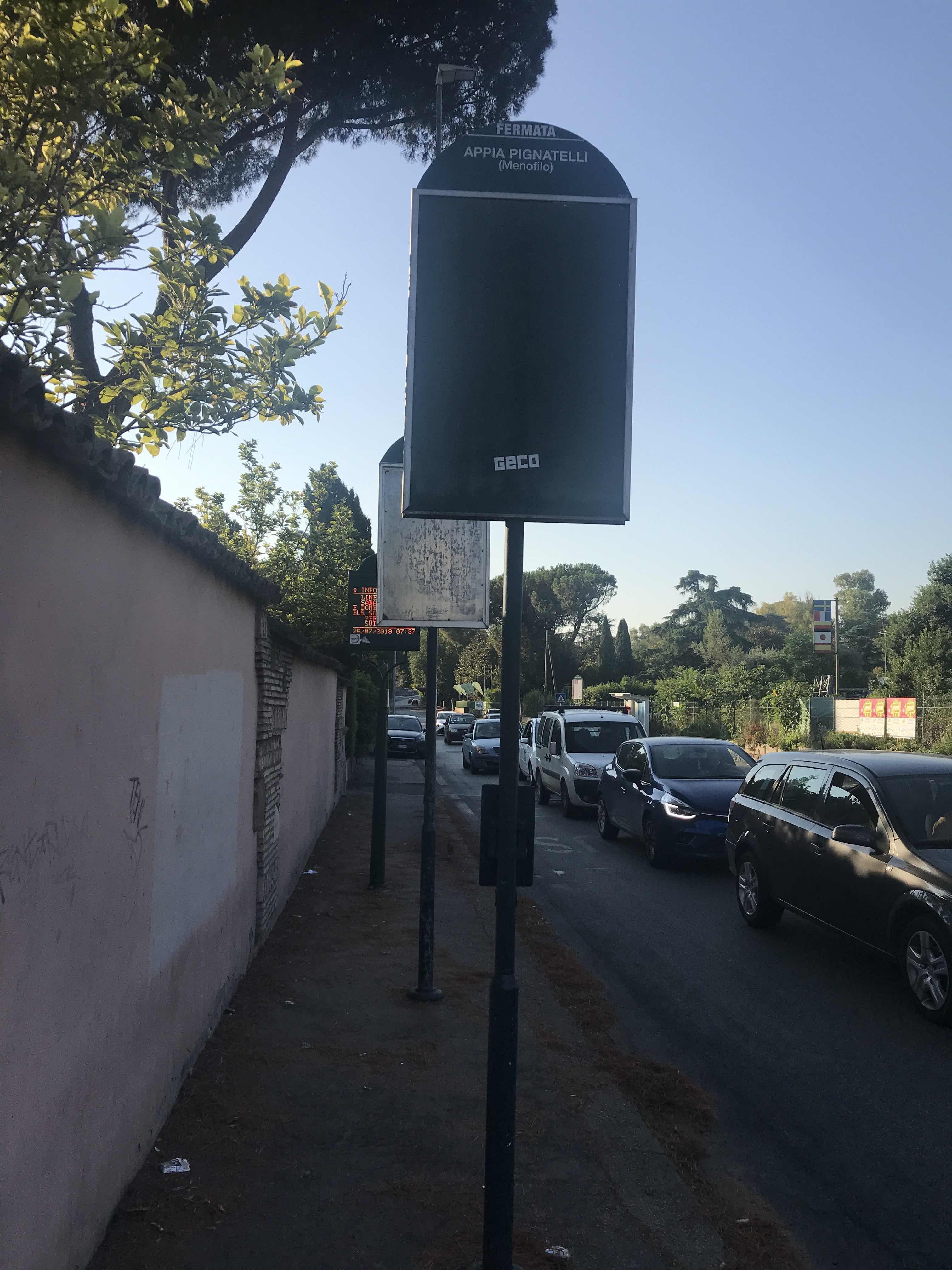 Taken by Anonymous
See Annia Regilla/Vallericcia stop, Rome, on the map
Public transit to Annia Regilla/Vallericcia stop (ID: 74939) in Rome
Looking for directions to Annia Regilla/Vallericcia in Rome, Italy?
Download the Moovit App to find the current schedule and step-by-step directions for Bus, Metro or Train routes that pass through Annia Regilla/Vallericcia.
Looking for the nearest stops closest to Annia Regilla/Vallericcia ? Check out this list of closest stops to your destination: Annia Regilla/Fourth Mile; Fourth Mile/Appia; Appia/Fourth Mile; Annia Regilla/Persio; Appia Pignatelli/Carvilii; Lucio Sestio.
Bus: 663, 765, 654, L60, 664, L06, 118.Train: FL4.Metro: A.
We make riding on public transit to Annia Regilla/Vallericcia easy, which is why over 1.5 million users, including users in Rome trust Moovit as the best app for public transit.
Use the app to navigate to popular places including to the airport, hospital, stadium, grocery store, mall, coffee shop, school, college, and university.
Annia Regilla/Vallericcia stop’s code is 74939
The first line to this stop is 765, at 5:38 AM, and the last line is 663 at 12:13 AM.
This stop serves ATAC and ATR Mobility’s lines
- Annia Regilla/Fourth Mile,
- Fourth Mile/Appia,
- Appia/Fourth Mile,
- Annia Regilla/Persio,
- Appia Pignatelli/Carvilii
Bus stops near Annia Regilla/Vallericcia stop
- Lucio Sestio
Metro station near Annia Regilla/Vallericcia station
- Bolsena | Cassia Street (Km 117),
- Bufalotta/Monte Gennaro,
- Rome | Sempione Square,
- Giardinetti (MC),
- New Vines/Lumiere,
- Fiumicino City,
- Marconi (Metro),
- Trionfale/Catholic University of Sacred Heart,
- Ladispoli, Monteroni Street (Near Recin),
- Portuense/Forlanini (H),
- Cipro (Ma-H),
- La Storta Station (FL3),
- Casale Lumbroso/Fontebasso,
- Anzio | Ardeatina Road Acqua Marina Avenue,
- Volturno/Cernaia,
- Via Del Casalaccio, 28,
- Viterbo | Via Cimina (Barracks),
- Torpignattara/Casilina,
- Viterbo,
- Latina | Railway Station
Popular public transit stations in Rome
Get around Rome by public transit!
Traveling around Rome has never been so easy. See step by step directions as you travel to any attraction, street or major public transit station. View bus and train schedules, arrival times, service alerts and detailed routes on a map, so you know exactly how to get to anywhere in Rome.
When traveling to any destination around Rome use Moovit's Live Directions with Get Off Notifications to know exactly where and how far to walk, how long to wait for your line, and how many stops are left. Moovit will alert you when it's time to get off — no need to constantly re-check whether yours is the next stop.
Wondering how to use public transit in Rome or how to pay for public transit in Rome? Moovit public transit app can help you navigate your way with public transit easily, and at minimum cost. It includes public transit fees, ticket prices, and costs. Looking for a map of Rome public transit lines? Moovit public transit app shows all public transit maps in Rome with all Bus, Train, Metro, Light Rail, Ferry, Funicular and Gondola routes and stops on an interactive map.
Rome and Lazio has 7 transit type(s), including: Bus, Train, Metro, Light Rail, Ferry, Funicular and Gondola, operated by several transit agencies, including ATAC, Cotral, Trenitalia, Troiani Transportation Services, BIS, ATR Mobility, Tuscia, Shuttle, Seatour, Troiani Bus Lines, CSC Mobility, Terravision, ATRAL, Tambus and Sitbus