How to get to Au Pain Chaud by bus?
Click on the bus route to see step by step directions with maps, line arrival times and updated time schedules.
From Girardin, Prunay
71 minFrom Aquamoovprunay, Prunay
75 minFrom Cité Scolaire Colbert, Reims
46 minFrom Forma, Thillois
48 minFrom Thillois, Thillois
52 minFrom Bergelyne, Prunay
68 minFrom Bistrot de la Gare, Prunay
72 minFrom Mcdonald's, Tinqueux
37 minFrom Stade Blériot, Bétheny
40 minFrom Restobooling, Thillois
37 min
Bus stops near Au Pain Chaud in Reims
Light Rail stations near Au Pain Chaud in Reims
- Courlancy, 42 min walk,VIEW
Bus lines to Au Pain Chaud in Reims
What are the closest stations to Au Pain Chaud?
The closest stations to Au Pain Chaud are:
- Gonzalle is 155 meters away, 2 min walk.
- Saint-Remi is 333 meters away, 5 min walk.
- Clovis is 412 meters away, 6 min walk.
- Gouraud is 795 meters away, 11 min walk.
- St Timothee is 1056 meters away, 14 min walk.
- Courlancy is 3258 meters away, 42 min walk.
Which bus lines stop near Au Pain Chaud?
These bus lines stop near Au Pain Chaud: C, U2, U6.
What’s the nearest bus station to Au Pain Chaud in Reims?
The nearest bus station to Au Pain Chaud in Reims is Gonzalle. It’s a 2 min walk away.
What time is the first light rail to Au Pain Chaud in Reims?
The TRAM is the first light rail that goes to Au Pain Chaud in Reims. It stops nearby at 5:05 AM.
What time is the last light rail to Au Pain Chaud in Reims?
The TRAM is the last light rail that goes to Au Pain Chaud in Reims. It stops nearby at 1:07 AM.
What time is the first bus to Au Pain Chaud in Reims?
The O1 is the first bus that goes to Au Pain Chaud in Reims. It stops nearby at 5:32 AM.
What time is the last bus to Au Pain Chaud in Reims?
The O1 is the last bus that goes to Au Pain Chaud in Reims. It stops nearby at 12:45 AM.
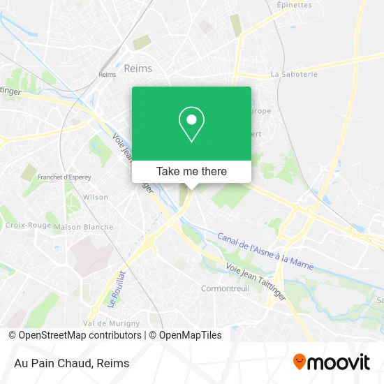
See Au Pain Chaud, Reims, on the map
Public Transit to Au Pain Chaud in Reims
Wondering how to get to Au Pain Chaud in Reims? Moovit helps you find the best way to get to Au Pain Chaud with step-by-step directions from the nearest public transit station.
Moovit provides free maps and live directions to help you navigate through your city. View schedules, routes, timetables, and find out how long does it take to get to Au Pain Chaud in real time.
Looking for the nearest stop or station to Au Pain Chaud? Check out this list of stops closest to your destination: Gonzalle; Saint-Remi; Clovis; Gouraud; St Timothee; Courlancy.
Bus: C, U2, U6, U5, 25, O1.
Want to see if there’s another route that gets you there at an earlier time? Moovit helps you find alternative routes or times. Get directions from and directions to Au Pain Chaud easily from the Moovit App or Website.
We make riding to Au Pain Chaud easy, which is why over 1.5 million users, including users in Reims, trust Moovit as the best app for public transit. You don’t need to download an individual bus app or train app, Moovit is your all-in-one transit app that helps you find the best bus time or train time available.
For information on prices of bus and light rail, costs and ride fares to Au Pain Chaud, please check the Moovit app.
Use the app to navigate to popular places including to the airport, hospital, stadium, grocery store, mall, coffee shop, school, college, and university.
Au Pain Chaud Address: Avenue de Champagne 51100 Reims street in Reims
- Café Clicquot,
- 7 Rue Saint-Léonard,
- Droits De L'Homme,
- Cimetière Du Sud,
- Clean Car (Self Car Wash),
- Saint Remi,
- Scipion,
- Ligue Champagne Ardenne Basket Ball,
- La Chouette Baguette,
- Rogier Seignier Melanie,
- Musée-Abbaye Saint-Rémi,
- Domaine Alpha Coiffure,
- Terrain Henry Paris,
- Foyer Saint Rémi,
- Le Dieu Lumière,
- École Élémentaire Jules Ferry,
- Vnf Atelier De La Roseraie,
- La Guninguette Rémoise,
- Coulée Verte de Reims,
- Parc De La Roseraie
Places Near Au Pain Chaud (Reims)
- Leclerc, Saint-Brice-Courcelles,
- Hôpital Maison Blanche, Reims,
- Bétheny, Bétheny,
- Ikea, Thillois,
- Moulin De La Housse, Reims,
- CHU, Reims,
- Gare Tgv, Bezannes,
- Carrefour, Tinqueux,
- Parc Des Expositions, Reims,
- Polyclinique Reims Bezannes, Bezannes,
- Parc de Champagne, Reims,
- Bezannes, Bezannes,
- St Remi, Reims,
- Tinqueux, Tinqueux,
- E. Leclerc Champfleury, Champfleury,
- Campus Croix Rouge, Reims,
- Cormontreuil, Reims,
- Croix Blandin, Reims,
- La Neuvillette, Reims,
- Hôpital Debré, Reims
How to get to popular places in Reims with public transit
Get around Reims by public transit!
Traveling around Reims has never been so easy. See step by step directions as you travel to any attraction, street or major public transit station. View bus and train schedules, arrival times, service alerts and detailed routes on a map, so you know exactly how to get to anywhere in Reims.
When traveling to any destination around Reims use Moovit's Live Directions with Get Off Notifications to know exactly where and how far to walk, how long to wait for your line, and how many stops are left. Moovit will alert you when it's time to get off — no need to constantly re-check whether yours is the next stop.
Wondering how to use public transit in Reims or how to pay for public transit in Reims? Moovit public transit app can help you navigate your way with public transit easily, and at minimum cost. It includes public transit fees, ticket prices, and costs. Looking for a map of Reims public transit lines? Moovit public transit app shows all public transit maps in Reims with all Bus and Light Rail routes and stops on an interactive map.
Reims has 2 transit type(s), including: Bus and Light Rail, operated by several transit agencies, including Transdev Reims