Av. Ragueb Chohfi, 977 stop - Thursday schedule
| Line | Direction | Time |
|---|---|---|
| N406-11 | Term. São Mateus | 3:02 AM |
| N406-11 | Term. São Mateus | 3:32 AM |
| 4018-10 | Term. São Mateus | 3:56 AM |
| 4011-10 | Term. São Mateus | 4:01 AM |
| N406-11 | Term. São Mateus | 4:02 AM |
| 4018-10 | Term. São Mateus | 4:21 AM |
| 4011-10 | Term. São Mateus | 4:31 AM |
| N406-11 | Term. São Mateus | 4:32 AM |
| 3063-10 | Term. São Mateus | 4:38 AM |
| 4018-10 | Term. São Mateus | 4:41 AM |
| 4011-10 | Term. São Mateus | 4:43 AM |
| 4018-10 | Term. São Mateus | 4:47 AM |
| 3054-10 | Hosp. Sapopemba | 4:47 AM |
| 3063-1 | Term. São Mateus | 4:48 AM |
| 4018-10 | Term. São Mateus | 4:53 AM |
| 4011-10 | Term. São Mateus | 4:55 AM |
| 3063-1 | Term. São Mateus | 4:58 AM |
| 4018-10 | Term. São Mateus | 4:59 AM |
| 4018-10 | Term. São Mateus | 5:05 AM |
| 3054-10 | Hosp. Sapopemba | 5:08 AM |
| 354M-10 | Term. São Mateus | 5:08 AM |
| 4011-10 | Term. São Mateus | 5:08 AM |
| 3063-10 | Term. São Mateus | 5:08 AM |
| 4018-10 | Term. São Mateus | 5:11 AM |
| 4018-10 | Term. São Mateus | 5:18 AM |
Directions to Av. Ragueb Chohfi, 977 stop (São Mateus) with public transit
The following transit lines have routes that pass near Av. Ragueb Chohfi, 977
 Bus: 3054-10, 354M-10, 4011-10, 4311-10, 513C-31.
- Metro: LINHA 15.
How to get to Av. Ragueb Chohfi, 977 stop by bus?
Click on the bus route to see step by step directions with maps, line arrival times and updated time schedules.
How to get to Av. Ragueb Chohfi, 977 stop by metro?
Click on the metro route to see step by step directions with maps, line arrival times and updated time schedules.
Bus stops near Av. Ragueb Chohfi, 977 stop in São Mateus
- Av. Ragueb Chohfi, 830, 2 min walk,
- R. Forte do Rio Branco, 238, 5 min walk,
- Av. Ragueb Chohfi, 1296, 6 min walk,
- Av. Furtado de Mendonca, 500, 7 min walk,
Metro stations near Av. Ragueb Chohfi, 977 station in São Mateus
- Fazenda da Juta, 16 min walk,
Bus lines to Av. Ragueb Chohfi, 977 stop in São Mateus
- 253F-10, Terminal A. E. Carvalho - Terminal São Mateus,
- 3063-1, Guaianases - Terminal São Mateus,
- 354M-10, Terminal São Miguel - Terminal São Mateus,
- N406-11, Terminal Cidade Tiradentes - Terminal São Mateus,
- 513C-31, Vila Califórnia - E.T. Itaquera,
- 3054-10, Jardim Palanque - Hospital Sapopemba,
- 3063-10, Guaianases - Terminal São Mateus,
- 3063-41, Guaianases - Terminal São Mateus,
- 4007-31, Cohab Juscelino - São Mateus,
- 4011-10, Jardim Limoeiro - Terminal São Mateus,
- 4018-10, Metalúrgicos - Terminal São Mateus,
- 4311-10, Terminal São Mateus - Terminal Parque Dom Pedro Ii,
- 407E-10, Metrô Carrão,
- 3761-10, 3a. Divisão,
- N434-11, Jd. IV Centenário,
- 3773-10, Res. Sta. Bárbara,
- 4014-10, Jd. Vl. Carrão,
What are the closest stations to Av. Ragueb Chohfi, 977?
The closest stations to Av. Ragueb Chohfi, 977 are:
- Av. Ragueb Chohfi, 830 stop is 127 meters away, 2 min walk.
- R. Forte do Rio Branco, 238 stop is 310 meters away, 5 min walk.
- Av. Ragueb Chohfi, 1296 stop is 430 meters away, 6 min walk.
- Av. Furtado de Mendonca, 500 stop is 474 meters away, 7 min walk.
- Fazenda da Juta station is 1186 meters away, 16 min walk.
Which bus lines stop near Av. Ragueb Chohfi, 977?
These bus lines stop near Av. Ragueb Chohfi, 977: 3054-10, 354M-10, 4011-10, 4311-10, 513C-31.
Which metro line stops near Av. Ragueb Chohfi, 977?
LINHA 15 (São Mateus)
What’s the nearest metro station to Av. Ragueb Chohfi, 977 in São Mateus?
The nearest metro station to Av. Ragueb Chohfi, 977 in São Mateus is Fazenda da Juta. It’s a 16 min walk away.
What’s the nearest bus station to Av. Ragueb Chohfi, 977 in São Mateus?
The nearest bus station to Av. Ragueb Chohfi, 977 in São Mateus is Av. Ragueb Chohfi, 830. It’s a 2 min walk away.
What time is the first metro to Av. Ragueb Chohfi, 977 in São Mateus?
The LINHA 15 is the first metro that goes to Av. Ragueb Chohfi, 977 in São Mateus. It stops nearby at 4:40 AM.
What time is the last metro to Av. Ragueb Chohfi, 977 in São Mateus?
The LINHA 15 is the last metro that goes to Av. Ragueb Chohfi, 977 in São Mateus. It stops nearby at 12:33 AM.
What time is the first bus to Av. Ragueb Chohfi, 977 in São Mateus?
The N406-11 is the first bus that goes to Av. Ragueb Chohfi, 977 in São Mateus. It stops nearby at 3:00 AM.
What time is the last bus to Av. Ragueb Chohfi, 977 in São Mateus?
The N434-11 is the last bus that goes to Av. Ragueb Chohfi, 977 in São Mateus. It stops nearby at 3:33 AM.
Av. Ragueb Chohfi, 977 station
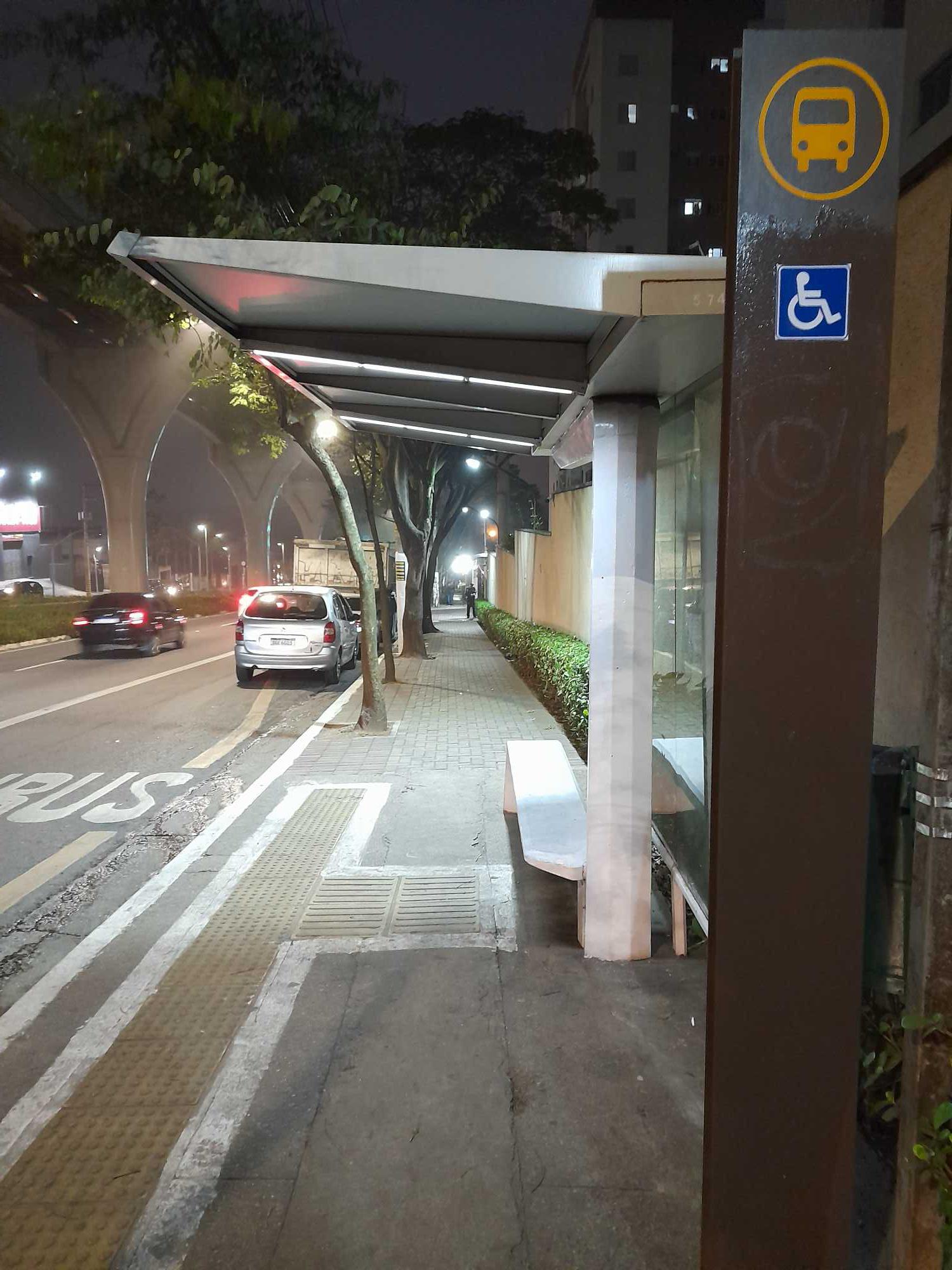 Taken by Paulo R.
See Av. Ragueb Chohfi, 977 stop, São Mateus, on the map
Public transit to Av. Ragueb Chohfi, 977 stop in São Mateus
Looking for directions to Av. Ragueb Chohfi, 977 in São Mateus, Brazil?
Download the Moovit App to find the current schedule and step-by-step directions for Bus, Train or Metro routes that pass through Av. Ragueb Chohfi, 977.
Looking for the nearest stops closest to Av. Ragueb Chohfi, 977 ? Check out this list of closest stops to your destination: Av. Ragueb Chohfi; R. Forte do Rio Branco; Av. Ragueb Chohfi; Av. Furtado de Mendonca; Fazenda da Juta.
Bus: 3054-10, 354M-10, 4011-10, 4311-10, 513C-31, 253F-10, 3063-1, N406-11, 407E-10, 3761-10, N434-11, 3773-10, 4014-10.Metro: LINHA 15.
We make riding on public transit to Av. Ragueb Chohfi, 977 easy, which is why over 1.7 billion users, including users in São Mateus trust Moovit as the best app for public transit.
Use the app to navigate to popular places including to the airport, hospital, stadium, grocery store, mall, coffee shop, school, college, and university.
The first line to this stop is N406-11, at 3:02 AM, and the last line is N406-11 at 2:32 AM.
This stop serves SPTrans’s lines
- Av. Ragueb Chohfi, 830,
- R. Forte do Rio Branco, 238,
- Av. Ragueb Chohfi, 1296,
- Av. Furtado de Mendonca, 500
Bus stops near Av. Ragueb Chohfi, 977 stop
- Fazenda da Juta
Metro station near Av. Ragueb Chohfi, 977 station
- Avenida Engenheiro Eusébio Stevaux 2555,
- Av. Yervant Kissajikian, 2858,
- Av. Francisco de Paula Quintanilha Ribeiro,
- Rod. Raposo Tavares - Km 31,
- Av. dos Funcionários Públicos, 379,
- Rua Major Carlo Del Prete - Centro, São Caetano do Sul,
- Parada 2 - José Maria Lisboa C/B,
- Rodovia Régis Bittencourt (Km 288/São Paulo),
- Terminal Metropolitano Vila Galvão,
- R. Cap. Salomão, 27,
- Avenida Arnolfo Azevedo, 231,
- R. Voluntários da Pátria, 3744,
- Brás,
- Rodovia Régis Bittencourt - Br 116, Km 284,7,
- Av. Ivo Mario Isaac Pires,
- Estrada Marechal Mascarenhas de Moraes- 601,
- Av. Edu Chaves,
- Avenida Deputado Emílio Carlos, 3902,
- R. Prudente de Morais, 265,
- Parada Metrô Tatuapé
Popular public transit stations in São Mateus
Get around São Mateus by public transit!
Traveling around São Mateus has never been so easy. See step by step directions as you travel to any attraction, street or major public transit station. View bus and train schedules, arrival times, service alerts and detailed routes on a map, so you know exactly how to get to anywhere in São Mateus.
When traveling to any destination around São Mateus use Moovit's Live Directions with Get Off Notifications to know exactly where and how far to walk, how long to wait for your line, and how many stops are left. Moovit will alert you when it's time to get off — no need to constantly re-check whether yours is the next stop.
Wondering how to use public transit in São Mateus or how to pay for public transit in São Mateus? Moovit public transit app can help you navigate your way with public transit easily, and at minimum cost. It includes public transit fees, ticket prices, and costs. Looking for a map of São Mateus public transit lines? Moovit public transit app shows all public transit maps in São Mateus with all Bus, Train, Metro, Light Rail, Ferry, Gondola, Cable Car and Funicular routes and stops on an interactive map.
Sao Paulo Region has 8 transit type(s), including: Bus, Train, Metro, Light Rail, Ferry, Gondola, Cable Car and Funicular, operated by several transit agencies, including SPTrans, CPTM, ViaMobilidade, Aquático SP, SPTRANS, EMTU, ViaQuatro, Auto Ônibus Moratense, GRU Airport (Aeroporto de Guarulhos), Auto Viação Urubupungá (Cajamar), Viação Cometa, Auto Viação Urubupungá (Osasco), Viação Ultra / Rápido Brasil, Auto Viação Urubupungá (Santana de Parnaíba) and Expresso Luxo