Avenida Franklin Roosevelt (Pista Esquerda) stop - Tuesday schedule
| Line | Direction | Time |
|---|---|---|
| SN 238 | Água Santa | 3:00 AM |
| SN 238 | Água Santa | 4:00 AM |
| 167 | Urca (Circular - Via Marcello Alencar) | 4:03 AM |
| 167 | Urca (Circular - Via Marcello Alencar) | 4:23 AM |
| 167 | Urca (Circular - Via Marcello Alencar) | 4:33 AM |
| 362 | Honório | 4:40 AM |
| 167 | Urca (Circular - Via Marcello Alencar) | 4:43 AM |
| 167 | Urca (Circular - Via Marcello Alencar) | 4:53 AM |
| 362 | Honório | 5:00 AM |
| 167 | Urca (Circular - Via Marcello Alencar) | 5:04 AM |
| 740D | Leblon (Jardim de Alah) | 5:05 AM |
| 167 | Urca (Circular - Via Marcello Alencar) | 5:14 AM |
| 740D | Leblon (Jardim de Alah) | 5:20 AM |
| 362 | Honório | 5:20 AM |
| 167 | Urca (Circular - Via Marcello Alencar) | 5:24 AM |
| 238 | Água Santa | 5:30 AM |
| 362 | Honório | 5:32 AM |
| 167 | Urca (Circular - Via Marcello Alencar) | 5:34 AM |
| 740D | Leblon (Jardim de Alah) | 5:35 AM |
| SR 362 | Honório | 5:40 AM |
| 167 | Urca (Circular - Via Marcello Alencar) | 5:44 AM |
| 362 | Honório | 5:44 AM |
| 740D | Leblon (Jardim de Alah) | 5:45 AM |
| 1461C | Passeio | 5:48 AM |
| SR 362 | Honório | 5:50 AM |
Directions to Avenida Franklin Roosevelt (Pista Esquerda) stop (Centro) with public transit
The following transit lines have routes that pass near Avenida Franklin Roosevelt (Pista Esquerda)
 Bus: 167, 2100D (EXECUTIVO), 2112, 238, 247.
- Metro: L1, L4, L2.
- Train: RAMAL BELFORD ROXO, RAMAL SANTA CRUZ, RAMAL SARACURUNA.
- Ferry: ILHA DO GOVERNADOR - PRAÇA XV.
How to get to Avenida Franklin Roosevelt (Pista Esquerda) stop by bus?
Click on the bus route to see step by step directions with maps, line arrival times and updated time schedules.
How to get to Avenida Franklin Roosevelt (Pista Esquerda) stop by train?
Click on the train route to see step by step directions with maps, line arrival times and updated time schedules.
How to get to Avenida Franklin Roosevelt (Pista Esquerda) stop by metro?
Click on the metro route to see step by step directions with maps, line arrival times and updated time schedules.
Bus stops near Avenida Franklin Roosevelt (Pista Esquerda) stop in Centro
- Avenida Franklin Roosevelt (Pista Direita), 1 min walk,
- BRS 1 2 3 4 - Franklin Rooselvelt, 3 min walk,
- Academia Brasileira De Letras, 4 min walk,
- BRS 1 2 3 - Beira Mar, 4 min walk,
- Igreja De Santa Luzia, 4 min walk,
- Aeroporto Santos Dumont ✈, 5 min walk,
- Av. General Justo | Aeroporto Santos Dumont ✈, 9 min walk,
Light Rail stations near Avenida Franklin Roosevelt (Pista Esquerda) station in Centro
- Antônio Carlos, 5 min walk,
Metro stations near Avenida Franklin Roosevelt (Pista Esquerda) station in Centro
- Cinelândia, 8 min walk,
Ferry stations near Avenida Franklin Roosevelt (Pista Esquerda) station in Centro
- Praça XV, 13 min walk,
Bus lines to Avenida Franklin Roosevelt (Pista Esquerda) stop in Centro
- 2110, São Gonçalo X Castelo,
- 2545, Alcântara X Castelo,
- 4110, São Gonçalo X Castelo,
- 4545, Alcântara X Castelo,
- ITAIPAVA - CASTELO, Itaipava - Castelo,
- PETRÓPOLIS - CASTELO, Petrópolis - Castelo,
- 127C, Magé - Castelo (via Túnel Marcello Alencar),
- 202, Rio Comprido - Castelo (BRS 1 - via Catumbi / Central),
- 232, Lins - Castelo (Brs 4 - Via Boca do Mato),
- SN 232, Lins - Castelo (Brs 4 - Via Boca do Mato),
- 265, Marechal Hermes - Castelo (Brs 4 - Via Norte Shopping),
- SN 265, Marechal Hermes - Castelo (BRS 4 - via Terminal Gentileza),
- 292, Engenho da Rainha - Castelo (Brs 4 - Via Bonsucesso / Av. Brasil),
- 296, Irajá - Castelo (Brs 4 - Via Norte Shopping),
- 298, Acari - Castelo (Brs 4 - Via Norte Shopping),
- 311, Engenheiro Leal - Candelária (Brs 4 - Via Del Castilho / São Cristóvão),
- 321, Bancários - Castelo (Brs 4 - Via Linha Vermelha),
- 323, Bananal - Castelo (Brs 4 - via Linha Vermelha),
- 325, Ribeira - Castelo (Brs 4 - Via Jardim Guanabara / Linha Vermelha),
- 327, Ribeira - Castelo (Brs 4 - via Linha Vermelha),
What are the closest stations to Avenida Franklin Roosevelt (Pista Esquerda)?
The closest stations to Avenida Franklin Roosevelt (Pista Esquerda) are:
- Avenida Franklin Roosevelt (Pista Direita) is 19 meters away, 1 min walk.
- BRS 1 2 3 4 - Franklin Rooselvelt is 206 meters away, 3 min walk.
- Academia Brasileira De Letras is 235 meters away, 4 min walk.
- BRS 1 2 3 - Beira Mar is 258 meters away, 4 min walk.
- Igreja De Santa Luzia is 294 meters away, 4 min walk.
- Aeroporto Santos Dumont ✈ is 303 meters away, 5 min walk.
- Antônio Carlos is 333 meters away, 5 min walk.
- Cinelândia is 566 meters away, 8 min walk.
- Av. General Justo | Aeroporto Santos Dumont ✈ is 676 meters away, 9 min walk.
- Praça XV is 960 meters away, 13 min walk.
Which bus lines stop near Avenida Franklin Roosevelt (Pista Esquerda)?
These bus lines stop near Avenida Franklin Roosevelt (Pista Esquerda): 167, 2100D (EXECUTIVO), 2112, 238, 247, 323, SPB 483.
Which metro lines stop near Avenida Franklin Roosevelt (Pista Esquerda)?
These metro lines stop near Avenida Franklin Roosevelt (Pista Esquerda): L1, L4, L2.
Which train lines stop near Avenida Franklin Roosevelt (Pista Esquerda)?
These train lines stop near Avenida Franklin Roosevelt (Pista Esquerda): RAMAL BELFORD ROXO, RAMAL SANTA CRUZ, RAMAL SARACURUNA.
What’s the nearest light rail station to Avenida Franklin Roosevelt (Pista Esquerda) in Centro?
The nearest light rail station to Avenida Franklin Roosevelt (Pista Esquerda) in Centro is Antônio Carlos. It’s a 5 min walk away.
What’s the nearest metro station to Avenida Franklin Roosevelt (Pista Esquerda) in Centro?
The nearest metro station to Avenida Franklin Roosevelt (Pista Esquerda) in Centro is Cinelândia. It’s a 8 min walk away.
What’s the nearest bus station to Avenida Franklin Roosevelt (Pista Esquerda) in Centro?
The nearest bus station to Avenida Franklin Roosevelt (Pista Esquerda) in Centro is Avenida Franklin Roosevelt (Pista Direita). It’s a 1 min walk away.
What’s the nearest ferry station to Avenida Franklin Roosevelt (Pista Esquerda) in Centro?
The nearest ferry station to Avenida Franklin Roosevelt (Pista Esquerda) in Centro is Praça XV. It’s a 13 min walk away.
What time is the first light rail to Avenida Franklin Roosevelt (Pista Esquerda) in Centro?
The L1 is the first light rail that goes to Avenida Franklin Roosevelt (Pista Esquerda) in Centro. It stops nearby at 5:00 AM.
What time is the last light rail to Avenida Franklin Roosevelt (Pista Esquerda) in Centro?
The L1 is the last light rail that goes to Avenida Franklin Roosevelt (Pista Esquerda) in Centro. It stops nearby at 11:30 PM.
What time is the first metro to Avenida Franklin Roosevelt (Pista Esquerda) in Centro?
The L2 is the first metro that goes to Avenida Franklin Roosevelt (Pista Esquerda) in Centro. It stops nearby at 5:08 AM.
What time is the last metro to Avenida Franklin Roosevelt (Pista Esquerda) in Centro?
The L2 is the last metro that goes to Avenida Franklin Roosevelt (Pista Esquerda) in Centro. It stops nearby at 12:42 AM.
What time is the first bus to Avenida Franklin Roosevelt (Pista Esquerda) in Centro?
The SN 238 is the first bus that goes to Avenida Franklin Roosevelt (Pista Esquerda) in Centro. It stops nearby at 3:00 AM.
What time is the last bus to Avenida Franklin Roosevelt (Pista Esquerda) in Centro?
The 378 is the last bus that goes to Avenida Franklin Roosevelt (Pista Esquerda) in Centro. It stops nearby at 3:39 AM.
What time is the first ferry to Avenida Franklin Roosevelt (Pista Esquerda) in Centro?
The ILHA DO GOVERNADOR - PRAÇA XV is the first ferry that goes to Avenida Franklin Roosevelt (Pista Esquerda) in Centro. It stops nearby at 7:45 AM.
What time is the last ferry to Avenida Franklin Roosevelt (Pista Esquerda) in Centro?
The ILHA DO GOVERNADOR - PRAÇA XV is the last ferry that goes to Avenida Franklin Roosevelt (Pista Esquerda) in Centro. It stops nearby at 6:30 PM.
Avenida Franklin Roosevelt (Pista Esquerda) station
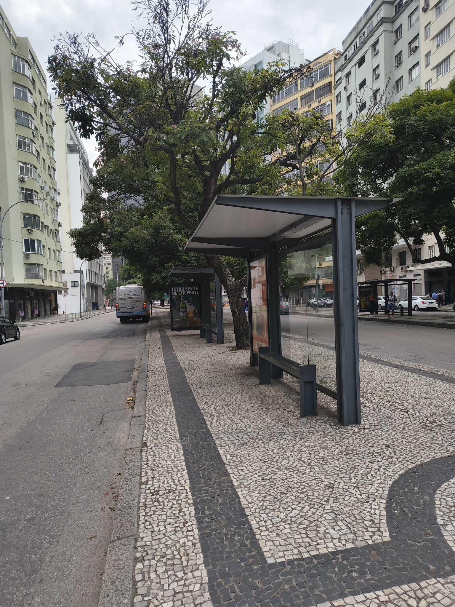 Taken by Anonymous
See Avenida Franklin Roosevelt (Pista Esquerda) stop, Centro, on the map
Public transit to Avenida Franklin Roosevelt (Pista Esquerda) stop (ID: 74126) in Centro
Looking for directions to Avenida Franklin Roosevelt (Pista Esquerda) in Centro, Brazil?
Download the Moovit App to find the current schedule and step-by-step directions for Bus, Train or Metro routes that pass through Avenida Franklin Roosevelt (Pista Esquerda).
Looking for the nearest stops closest to Avenida Franklin Roosevelt (Pista Esquerda) ? Check out this list of closest stops to your destination: Avenida Franklin Roosevelt (Pista Direita); BRS 1 2 3 4 - Franklin Rooselvelt; Academia Brasileira De Letras; BRS 1 2 3 - Beira Mar; Igreja De Santa Luzia; Aeroporto Santos Dumont ✈; Antônio Carlos; Cinelândia; Av. General Justo | Aeroporto Santos Dumont ✈; Praça XV.
Bus: 167, 2100D (EXECUTIVO), 2112, 238, 247, 323, SPB 483, 2110, 2545, 4110, 4545, ITAIPAVA - CASTELO, 107, LECD137, 415, 422, SN 238, SN 298, 362, SR 362, 169.Metro: L1, L4, L2.Train: RAMAL BELFORD ROXO, RAMAL SANTA CRUZ, RAMAL SARACURUNA.Ferry: ILHA DO GOVERNADOR - PRAÇA XV.
We make riding on public transit to Avenida Franklin Roosevelt (Pista Esquerda) easy, which is why over 1.5 million users, including users in Centro trust Moovit as the best app for public transit.
Use the app to navigate to popular places including to the airport, hospital, stadium, grocery store, mall, coffee shop, school, college, and university.
Avenida Franklin Roosevelt (Pista Esquerda) stop’s code is 74126
The first line to this stop is SN 238, at 3:00 AM, and the last line is SN 238 at 2:00 AM.
Avenida Franklin Roosevelt, Rio de Janeiro, Brazil
This stop serves Braso Lisboa (Intermunicipal), Viação Vila Real, Viação União, Viação Ideal, Auto Viação 1001, Viação VG, Gire Transportes, Viação Verdun and Braso Lisboa (Municipal)’s lines
- Avenida Franklin Roosevelt (Pista Direita),
- BRS 1 2 3 4 - Franklin Rooselvelt,
- Academia Brasileira De Letras,
- BRS 1 2 3 - Beira Mar,
- Igreja De Santa Luzia,
- Aeroporto Santos Dumont ✈,
- Av. General Justo | Aeroporto Santos Dumont ✈
Bus stops near Avenida Franklin Roosevelt (Pista Esquerda) stop
- Antônio Carlos
Light Rail station near Avenida Franklin Roosevelt (Pista Esquerda) station
- Cinelândia
Metro station near Avenida Franklin Roosevelt (Pista Esquerda) station
- Praça XV
Ferry station near Avenida Franklin Roosevelt (Pista Esquerda) station
- Ponto Final - Rua 14 Bis,
- Avenida Brasil - Vila Kennedy (Praça Miami),
- Cemitério De Ricardo De Albuquerque,
- Assaí Atacadista (Fundos) - São João De Meriti,
- Rua Leopoldina Rêgo, 754,
- Terminal Acre - Candelária | Rio Ita,
- Anchieta,
- Rodovia Presidente Dutra (Andina Coca-Cola),
- Praça Da Cidade De Deus,
- Estrada Philuvio Cerqueira Rodrigues, 3609-3627,
- Quebra Mar,
- Complexo Penitenciário De Gericinó,
- Entrada De Itaipuaçu (Sentido Região Dos Lagos),
- Rua Benjamin Constant,
- Aerotown - Barra Da Tijuca (Embarque E Desembarque - 1001),
- Avenida Brasil | Batan,
- São Francisco Xavier,
- Avenida Epitácio Pessoa | Acesso Lagoa - Metrô General Osório,
- Rua Prefeito Olímpio De Melo, 1249,
- Estrada Dos Bandeirantes | BRT Curicica
Popular public transit stations in Centro
Get around Centro by public transit!
Traveling around Centro has never been so easy. See step by step directions as you travel to any attraction, street or major public transit station. View bus and train schedules, arrival times, service alerts and detailed routes on a map, so you know exactly how to get to anywhere in Centro.
When traveling to any destination around Centro use Moovit's Live Directions with Get Off Notifications to know exactly where and how far to walk, how long to wait for your line, and how many stops are left. Moovit will alert you when it's time to get off — no need to constantly re-check whether yours is the next stop.
Wondering how to use public transit in Centro or how to pay for public transit in Centro? Moovit public transit app can help you navigate your way with public transit easily, and at minimum cost. It includes public transit fees, ticket prices, and costs. Looking for a map of Centro public transit lines? Moovit public transit app shows all public transit maps in Centro with all Bus, Train, Metro, Light Rail, Ferry, Cable Car, Gondola and Funicular routes and stops on an interactive map.
Rio de Janeiro Region has 8 transit type(s), including: Bus, Train, Metro, Light Rail, Ferry, Cable Car, Gondola and Funicular, operated by several transit agencies, including SuperVia, Metrô Rio, VLT Carioca, Barcas Rio, BRT MOBI-Rio, Auto Viação Alpha, Auto Viação Tijuca, Gire Transportes, Transurb, Viação Nossa Senhora das Graças, Consórcio INTERSUL, Braso Lisboa (Municipal), Caprichosa Auto Ônibus, Auto Viação Três Amigos and Rodoviária Âncora Matias