How to get to Barbara Pinker by bus?
Click on the bus route to see step by step directions with maps, line arrival times and updated time schedules.
From Bass Pro Shops Indoor Shooting Range, Hollywood
39 minFrom Fort Lauderdale Amtrak Station, Fort Lauderdale
81 minFrom Pembroke Lakes Mall Shopping Center, Miramar-Pembroke Pines
49 minFrom Sawgrass Recreation Park / Airboat Rides, Plantation
66 minFrom Westfield Broward Mall, Plantation
59 minFrom Walmart (Walmart Miami Gardens - NW 27th Ave), Miami Gardens
93 minFrom Walmart (Walmart Supercenter Ft Lauderdale - W Broward Blvd), Fort Lauderdale
61 minFrom Broward/Miami-Dade County Border, Miami Gardens
92 minFrom Tri-Rail-Fort Lauderdale Station, Fort Lauderdale
83 minFrom Park & Ride-Broward Blvd & I-95, Fort Lauderdale
80 min
Bus stops near Barbara Pinker in Hollywood
Bus lines to Barbara Pinker in Hollywood
What are the closest stations to Barbara Pinker?
The closest stations to Barbara Pinker are:
- Stirling Road/Northwest 68th Avenue is 947 yards away, 12 min walk.
- North 72nd Avenue/Charleston Street is 1261 yards away, 15 min walk.
- Davie Road Extension/Stirling Road is 1683 yards away, 20 min walk.
Which bus lines stop near Barbara Pinker?
These bus lines stop near Barbara Pinker: 09, 12, 16.
What’s the nearest bus station to Barbara Pinker in Hollywood?
The nearest bus station to Barbara Pinker in Hollywood is Stirling Road/Northwest 68th Avenue. It’s a 12 min walk away.
What time is the first bus to Barbara Pinker in Hollywood?
The 12 is the first bus that goes to Barbara Pinker in Hollywood. It stops nearby at 5:07 AM.
What time is the last bus to Barbara Pinker in Hollywood?
The 12 is the last bus that goes to Barbara Pinker in Hollywood. It stops nearby at 10:59 PM.
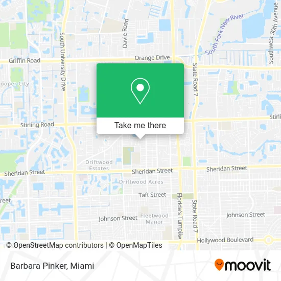
See Barbara Pinker, Hollywood, on the map
Public Transit to Barbara Pinker in Hollywood
Wondering how to get to Barbara Pinker in Hollywood? Moovit helps you find the best way to get to Barbara Pinker with step-by-step directions from the nearest public transit station.
Moovit provides free maps and live directions to help you navigate through your city. View schedules, routes, timetables, and find out how long does it take to get to Barbara Pinker in real time.
Looking for the nearest stop or station to Barbara Pinker? Check out this list of stops closest to your destination: Stirling Road/Northwest 68th Avenue; North 72nd Avenue/Charleston Street; Davie Road Extension/Stirling Road.
Bus: 09, 12, 16.
Want to see if there’s another route that gets you there at an earlier time? Moovit helps you find alternative routes or times. Get directions from and directions to Barbara Pinker easily from the Moovit App or Website.
We make riding to Barbara Pinker easy, which is why over 1.5 million users, including users in Hollywood, trust Moovit as the best app for public transit. You don’t need to download an individual bus app or train app, Moovit is your all-in-one transit app that helps you find the best bus time or train time available.
For information on prices of bus and train, costs and ride fares to Barbara Pinker, please check the Moovit app.
Use the app to navigate to popular places including to the airport, hospital, stadium, grocery store, mall, coffee shop, school, college, and university.
Barbara Pinker Address: 6881 Pershing St Hollywood, FL 33024 street in Hollywood
- Ther-Mal Air,
- Greg Bowers,
- Hollywood Roofing Experts,
- Federicos Pool Service,
- Portraits by Lisa Ann,
- Doors To Heaven Day Spa,
- Coco Fresh Tea & Juice,
- Mexiote,
- A Touch of Beauty by Natalie,
- B Is for Bride,
- Denny's Seafood Market,
- Pk-12 Virtual Academy,
- Go Go Baby Gym,
- Sky High Smoke Shop,
- Bella Nails by Arnielys,
- Intracoastal Audio and Music,
- Billares El Escondite,
- Banana Leaf Indian Kitchen,
- DUNKIN',
- Public Pawn & Gun
Places Near Barbara Pinker (Hollywood)
- Dolphin Mall Bus, Miami,
- Marlins Park, Miami,
- Zoo Miami, Miami,
- Port of Miami Cruise Terminal, Miami,
- Sawgrass Mall, Miami,
- Miami Design District, Miami,
- Aventura Mall, Miami,
- Miami Freedom Park, Miami,
- Richard E. Gerstein Justice Building, Miami,
- Sawgrass mall ( FL ), Miami Beach,
- Miami-Dade County Courthouse, Miami,
- Aventura Mall, Miami Beach,
- Miami VA Hospital, Miami,
- Brickell City Centre, Miami,
- Hard Rock Stadium, Miami Gardens,
- Little Havana, Miami,
- Wynwood, Miami,
- Dolphin Mall, Miami,
- Bayside Marketplace, Miami,
- Keiser University Flagship Campus, West Palm Beach
How to get to popular places in Miami with public transit
Get around Hollywood by public transit!
Traveling around Hollywood has never been so easy. See step by step directions as you travel to any attraction, street or major public transit station. View bus and train schedules, arrival times, service alerts and detailed routes on a map, so you know exactly how to get to anywhere in Hollywood.
When traveling to any destination around Hollywood use Moovit's Live Directions with Get Off Notifications to know exactly where and how far to walk, how long to wait for your line, and how many stops are left. Moovit will alert you when it's time to get off — no need to constantly re-check whether yours is the next stop.
Wondering how to use public transit in Hollywood or how to pay for public transit in Hollywood? Moovit public transit app can help you navigate your way with public transit easily, and at minimum cost. It includes public transit fees, ticket prices, and costs. Looking for a map of Hollywood public transit lines? Moovit public transit app shows all public transit maps in Hollywood with all Bus, Train, Light Rail and Ferry routes and stops on an interactive map.
Miami has 4 transit type(s), including: Bus, Train, Light Rail and Ferry, operated by several transit agencies, including Broward County Transit, Miami-Dade Transit, Metrorail, Palm Tran, Tri-Rail, Brightline, MARTY, City of Homestead Trolley, Key West Transit, Treasure Coast Connector, GoLine IRT, Amtrak, Greyhound-us, FlixBus-us and Aventura Express Shuttle Bus