How to get to Bio Foot Scan by bus?
Click on the bus route to see step by step directions with maps, line arrival times and updated time schedules.
From NW 79th St / NW 7th Ave, Miami
74 minFrom Macy's International Mall, Miami
84 minFrom International Mall., Miami
84 minFrom Amazon warehouse, Miami
95 minFrom Miami Lakes, Hialeah
42 minFrom W 72 Ave & Flagler St, Miami
46 minFrom Flagler & 57 Ave, Miami
56 minFrom BrandsMart USA, Miami
73 minFrom Miami Dade College West Campus, North Westside
89 minFrom NW 17th Ave / NW 36th St, Miami
67 min
How to get to Bio Foot Scan by train?
Click on the train route to see step by step directions with maps, line arrival times and updated time schedules.
Bus stops near Bio Foot Scan in Hialeah
Train station near Bio Foot Scan in Hialeah
- Okeechobee, 39 min walk,VIEW
Bus lines to Bio Foot Scan in Hialeah
What are the closest stations to Bio Foot Scan?
The closest stations to Bio Foot Scan are:
- W 12 Av & W 42 St is 61 yards away, 1 min walk.
- W 12 Av & W 37 St is 694 yards away, 9 min walk.
- W 49 St & W 12 Av is 796 yards away, 10 min walk.
- Okeechobee is 3262 yards away, 39 min walk.
Which bus lines stop near Bio Foot Scan?
These bus lines stop near Bio Foot Scan: 183, 54, 73.
Which train line stops near Bio Foot Scan?
GREEN (Dadeland South Stat.rail Northbound→Palmetto Station Rail Northbound)
What’s the nearest bus station to Bio Foot Scan in Hialeah?
The nearest bus station to Bio Foot Scan in Hialeah is W 12 Av & W 42 St. It’s a 1 min walk away.
What time is the first train to Bio Foot Scan in Hialeah?
The GREEN is the first train that goes to Bio Foot Scan in Hialeah. It stops nearby at 5:00 AM.
What time is the last train to Bio Foot Scan in Hialeah?
The GREEN is the last train that goes to Bio Foot Scan in Hialeah. It stops nearby at 1:01 AM.
What time is the first bus to Bio Foot Scan in Hialeah?
The 183 is the first bus that goes to Bio Foot Scan in Hialeah. It stops nearby at 4:36 AM.
What time is the last bus to Bio Foot Scan in Hialeah?
The 183 is the last bus that goes to Bio Foot Scan in Hialeah. It stops nearby at 12:15 AM.
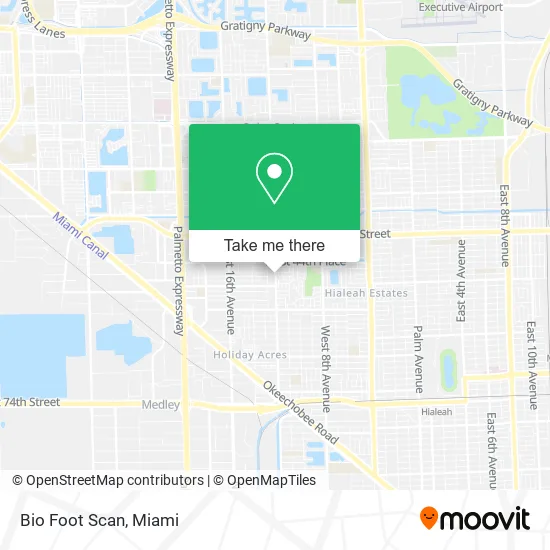
See Bio Foot Scan, Hialeah, on the map
Public Transit to Bio Foot Scan in Hialeah
Wondering how to get to Bio Foot Scan in Hialeah? Moovit helps you find the best way to get to Bio Foot Scan with step-by-step directions from the nearest public transit station.
Moovit provides free maps and live directions to help you navigate through your city. View schedules, routes, timetables, and find out how long does it take to get to Bio Foot Scan in real time.
Looking for the nearest stop or station to Bio Foot Scan? Check out this list of stops closest to your destination: W 12 Av & W 42 St; W 12 Av & W 37 St; W 49 St & W 12 Av; Okeechobee.
Bus: 183, 54, 73, HIAFLA, 103, HIAMAR.Train: GREEN.
Want to see if there’s another route that gets you there at an earlier time? Moovit helps you find alternative routes or times. Get directions from and directions to Bio Foot Scan easily from the Moovit App or Website.
We make riding to Bio Foot Scan easy, which is why over 1.5 million users, including users in Hialeah, trust Moovit as the best app for public transit. You don’t need to download an individual bus app or train app, Moovit is your all-in-one transit app that helps you find the best bus time or train time available.
For information on prices of bus and train, costs and ride fares to Bio Foot Scan, please check the Moovit app.
Use the app to navigate to popular places including to the airport, hospital, stadium, grocery store, mall, coffee shop, school, college, and university.
Bio Foot Scan Address: 4258 W 12th Ave Hialeah, FL 33012 street in Hialeah
- Omnibus La Cubana,
- Armando Quirantes,
- A P M A/C,
- El Mejor Consumidor,
- Sierra Electric in,
- D'Genesis Beauty Center,
- Iglesia Adventista del Séptimo Día de Hialeah,
- E Flores Landscaping,
- Marco Wallpaper,
- Abby Flowers,
- Arias Family Child Care Home,
- Tropical Silver,
- Moreno Farm Nursery,
- Wireless Store,
- Hialeah Fresh Cutz Barber Shop,
- Hialeah Fl,
- Video Club Centro,
- Casa Lenca Restaurant,
- Rapid Multiservice & Messenger,
- DNJ Agencia de Viajes A Cuba
Places Near Bio Foot Scan (Hialeah)
- Marlins Park, Miami,
- Port of Miami Cruise Terminal, Miami,
- Zoo Miami, Miami,
- Little Havana, Miami,
- Miami Design District, Miami,
- Hard Rock Stadium, Miami Gardens,
- Miami-Dade County Courthouse, Miami,
- Aventura Mall, Miami,
- Bayside Marketplace, Miami,
- Miami VA Hospital, Miami,
- Sawgrass mall ( FL ), Miami Beach,
- Dolphin Mall, Miami,
- Aventura Mall, Miami Beach,
- Sawgrass Mall, Miami,
- Brickell City Centre, Miami,
- Dolphin Mall Bus, Miami,
- Miami Freedom Park, Miami,
- Keiser University Flagship Campus, West Palm Beach,
- Richard E. Gerstein Justice Building, Miami,
- Wynwood, Miami
How to get to popular places in Miami with public transit
Get around Hialeah by public transit!
Traveling around Hialeah has never been so easy. See step by step directions as you travel to any attraction, street or major public transit station. View bus and train schedules, arrival times, service alerts and detailed routes on a map, so you know exactly how to get to anywhere in Hialeah.
When traveling to any destination around Hialeah use Moovit's Live Directions with Get Off Notifications to know exactly where and how far to walk, how long to wait for your line, and how many stops are left. Moovit will alert you when it's time to get off — no need to constantly re-check whether yours is the next stop.
Wondering how to use public transit in Hialeah or how to pay for public transit in Hialeah? Moovit public transit app can help you navigate your way with public transit easily, and at minimum cost. It includes public transit fees, ticket prices, and costs. Looking for a map of Hialeah public transit lines? Moovit public transit app shows all public transit maps in Hialeah with all Bus, Train, Light Rail and Ferry routes and stops on an interactive map.
Miami has 4 transit type(s), including: Bus, Train, Light Rail and Ferry, operated by several transit agencies, including Broward County Transit, Miami-Dade Transit, Metrorail, Palm Tran, Tri-Rail, Brightline, MARTY, City of Homestead Trolley, Key West Transit, Treasure Coast Connector, GoLine IRT, Amtrak, Greyhound-us, FlixBus-us and Aventura Express Shuttle Bus