How to get to Blueprint Cookies by bus?
Click on the bus route to see step by step directions with maps, line arrival times and updated time schedules.
From N University Dr, Plantation
33 minFrom Ives Dairy Road & 441, Miami
65 minFrom Dania Pointe, Hollywood
49 minFrom Dania Beach, Hollywood
47 minFrom FIU at I-75, Miramar-Pembroke Pines
91 minFrom Calder Casino, Miami Gardens
46 minFrom Hollywood, Florida, Hollywood
64 minFrom Miami Norland Senior High School, Miami Gardens
88 minFrom Westfield Broward Mall, Plantation
31 minFrom St. Thomas Aquinas High School, Fort Lauderdale
73 min
Bus stops near Blueprint Cookies in Davie
Bus lines to Blueprint Cookies in Davie
What are the closest stations to Blueprint Cookies?
The closest stations to Blueprint Cookies are:
- University Drive/Northwest 33rd Street is 381 yards away, 5 min walk.
- University Drive & Stirling Road is 803 yards away, 10 min walk.
- Davie Road Extension/University Drive is 1054 yards away, 13 min walk.
Which bus lines stop near Blueprint Cookies?
These bus lines stop near Blueprint Cookies: 02, 16.
What’s the nearest bus station to Blueprint Cookies in Davie?
The nearest bus station to Blueprint Cookies in Davie is University Drive/Northwest 33rd Street. It’s a 5 min walk away.
What time is the first bus to Blueprint Cookies in Davie?
The 12 is the first bus that goes to Blueprint Cookies in Davie. It stops nearby at 5:10 AM.
What time is the last bus to Blueprint Cookies in Davie?
The 02 is the last bus that goes to Blueprint Cookies in Davie. It stops nearby at 11:54 PM.
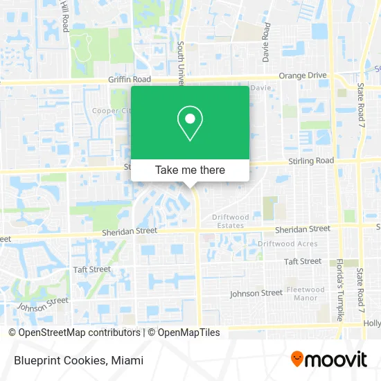
See Blueprint Cookies, Davie, on the map
Public Transit to Blueprint Cookies in Davie
Wondering how to get to Blueprint Cookies in Davie? Moovit helps you find the best way to get to Blueprint Cookies with step-by-step directions from the nearest public transit station.
Moovit provides free maps and live directions to help you navigate through your city. View schedules, routes, timetables, and find out how long does it take to get to Blueprint Cookies in real time.
Looking for the nearest stop or station to Blueprint Cookies? Check out this list of stops closest to your destination: University Drive/Northwest 33rd Street; University Drive & Stirling Road; Davie Road Extension/University Drive.
Bus: 02, 16, 12.
Want to see if there’s another route that gets you there at an earlier time? Moovit helps you find alternative routes or times. Get directions from and directions to Blueprint Cookies easily from the Moovit App or Website.
We make riding to Blueprint Cookies easy, which is why over 1.5 million users, including users in Davie, trust Moovit as the best app for public transit. You don’t need to download an individual bus app or train app, Moovit is your all-in-one transit app that helps you find the best bus time or train time available.
For information on prices of bus, costs and ride fares to Blueprint Cookies, please check the Moovit app.
Use the app to navigate to popular places including to the airport, hospital, stadium, grocery store, mall, coffee shop, school, college, and university.
Blueprint Cookies Address: 3800 N University Dr Hollywood, FL 33024 street in Davie
- Tide Cleaners,
- AA Mint Cards,
- Huey Magoo's,
- Hair Cuttery,
- Kami Nail House,
- Jonari Dental of Cooper City,
- Playa Bowls,
- Cali Coffee,
- Culver's,
- 2xtreme Ping Pong Club,
- Ovivi's Restaurant,
- Real Estate by Henry Caballero,
- Movement Mortgage39179 - Alberto Martinez,
- Movement Mortgage39179 - Gaby Alvarez,
- Gyromania Grill,
- Friends Of Barbara Sharief For Congress,
- Merrill Lynch Wealth Management,
- Middle and High School,
- Victory Bible Fellowship,
- Restoration Outreach Church & Ministries
Places Near Blueprint Cookies (Davie)
- Dolphin Mall, Miami,
- Port of Miami Cruise Terminal, Miami,
- Keiser University Flagship Campus, West Palm Beach,
- Sawgrass Mall, Miami,
- Marlins Park, Miami,
- Zoo Miami, Miami,
- Little Havana, Miami,
- Miami-Dade County Courthouse, Miami,
- Aventura Mall, Miami Beach,
- Miami Design District, Miami,
- Miami Freedom Park, Miami,
- Aventura Mall, Miami,
- Bayside Marketplace, Miami,
- Miami VA Hospital, Miami,
- Richard E. Gerstein Justice Building, Miami,
- Wynwood, Miami,
- Brickell City Centre, Miami,
- Hard Rock Stadium, Miami Gardens,
- Sawgrass mall ( FL ), Miami Beach,
- Dolphin Mall Bus, Miami
How to get to popular places in Miami with public transit
Get around Davie by public transit!
Traveling around Davie has never been so easy. See step by step directions as you travel to any attraction, street or major public transit station. View bus and train schedules, arrival times, service alerts and detailed routes on a map, so you know exactly how to get to anywhere in Davie.
When traveling to any destination around Davie use Moovit's Live Directions with Get Off Notifications to know exactly where and how far to walk, how long to wait for your line, and how many stops are left. Moovit will alert you when it's time to get off — no need to constantly re-check whether yours is the next stop.
Wondering how to use public transit in Davie or how to pay for public transit in Davie? Moovit public transit app can help you navigate your way with public transit easily, and at minimum cost. It includes public transit fees, ticket prices, and costs. Looking for a map of Davie public transit lines? Moovit public transit app shows all public transit maps in Davie with all Bus, Train, Light Rail and Ferry routes and stops on an interactive map.
Miami has 4 transit type(s), including: Bus, Train, Light Rail and Ferry, operated by several transit agencies, including Broward County Transit, Miami-Dade Transit, Metrorail, Palm Tran, Tri-Rail, Brightline, MARTY, City of Homestead Trolley, Key West Transit, Treasure Coast Connector, GoLine IRT, Amtrak, Greyhound-us, FlixBus-us and Aventura Express Shuttle Bus