Bolognetta station - Tuesday schedule
| Line | Direction | Time |
|---|---|---|
| FC3 | Catalano | 5:35 AM |
| FC3 | Catalano | 5:43 AM |
| FC3 | Catalano | 5:51 AM |
| FC3 | Catalano | 5:59 AM |
| FC3 | Viterbo | 6:01 AM |
| FC3 | Catalano | 6:07 AM |
| FC3 | Viterbo | 6:09 AM |
| FC3 | Catalano | 6:16 AM |
| FC3 | Viterbo | 6:17 AM |
| FC3 | Catalano | 6:24 AM |
| FC3 | Viterbo | 6:25 AM |
| FC3 | Catalano | 6:32 AM |
| FC3 | Viterbo | 6:33 AM |
| FC3 | Catalano | 6:40 AM |
| FC3 | Viterbo | 6:40 AM |
| FC3 | Catalano | 6:48 AM |
| FC3 | Viterbo | 6:48 AM |
| FC3 | Catalano | 6:55 AM |
| FC3 | Viterbo | 6:56 AM |
| FC3 | Catalano | 7:03 AM |
| FC3 | Viterbo | 7:04 AM |
| FC3 | Catalano | 7:11 AM |
| FC3 | Viterbo | 7:12 AM |
| FC3 | Catalano | 7:19 AM |
| FC3 | Viterbo | 7:21 AM |
Directions to Bolognetta station (Roma) with public transit
The following transit lines have routes that pass near Bolognetta
 Bus: 045, 051, 055, C9, COTRAL.
- Metro: C.
How to get to Bolognetta station by bus?
Click on the bus route to see step by step directions with maps, line arrival times and updated time schedules.
How to get to Bolognetta station by metro?
Click on the metro route to see step by step directions with maps, line arrival times and updated time schedules.
Bus stops near Bolognetta stop in Roma
- Casilina/Militello, 4 min walk,
- Rocca Cencia/Serrule, 4 min walk,
- Casilina/Prataporci, 8 min walk,
- Rome | Prataporci Street Casilina Street, 9 min walk,
- Borghesiana/Cinisi, 9 min walk,
Metro stations near Bolognetta station in Roma
- Finocchio, 5 min walk,
Bus lines to Bolognetta station in Roma
- NMC, Piazza Venezia,
- C9, Romanisti/Marforio,
- 107, Mondavio,
- 052, Pantano (Mc),
- 055, D'Ascanio,
- 555, Ponte Di Nona (Fl2),
- COTRAL, Genazzano via Castello Colonna,
- COTRAL, Roiate | Liberty Square,
- COTRAL, Colleferro | Railway Station,
- COTRAL, Rocca Santo Stefano via Casale,
- COTRAL, Fiuggi | I.P.S.S.E.O.A. Buonarroti,
- COTRAL, San Vito | Viale Piave,
- COTRAL, Bellegra | Via Roma Via San Francesco,
- COTRAL, Colleferro | Largo Oberdan,
- COTRAL, Carpineto San Sebastiano,
- COTRAL, Olevano | Via Koch (Terminal),
- COTRAL, Colleferro Scalo - Roma Anagnina,
- COTRAL, Genazzano - Roma Anagnina,
- COTRAL, Roiate - Roma Anagnina,
- COTRAL, Rocca Santo Stefano - Roma Anagnina,
What are the closest stations to Bolognetta?
The closest stations to Bolognetta are:
- Casilina/Militello stop is 259 meters away, 4 min walk.
- Rocca Cencia/Serrule stop is 287 meters away, 4 min walk.
- Finocchio station is 323 meters away, 5 min walk.
- Casilina/Prataporci stop is 556 meters away, 8 min walk.
- Rome | Prataporci Street Casilina Street stop is 650 meters away, 9 min walk.
- Borghesiana/Cinisi stop is 700 meters away, 9 min walk.
Which bus lines stop near Bolognetta?
These bus lines stop near Bolognetta: 045, 051, 055, C9, COTRAL.
Which metro line stops near Bolognetta?
C (Monte Compatri-Pantano)
What’s the nearest metro station to Bolognetta in Roma?
The nearest metro station to Bolognetta in Roma is Finocchio. It’s a 5 min walk away.
What’s the nearest bus station to Bolognetta in Roma?
The nearest bus stations to Bolognetta in Roma are Casilina/Militello and Rocca Cencia/Serrule. The closest one is a 4 min walk away.
What time is the first metro to Bolognetta in Roma?
The C is the first metro that goes to Bolognetta in Roma. It stops nearby at 5:30 AM.
What time is the last metro to Bolognetta in Roma?
The C is the last metro that goes to Bolognetta in Roma. It stops nearby at 12:05 AM.
What time is the first bus to Bolognetta in Roma?
The NMC is the first bus that goes to Bolognetta in Roma. It stops nearby at 3:01 AM.
What time is the last bus to Bolognetta in Roma?
The NMC is the last bus that goes to Bolognetta in Roma. It stops nearby at 3:43 AM.
Bolognetta station
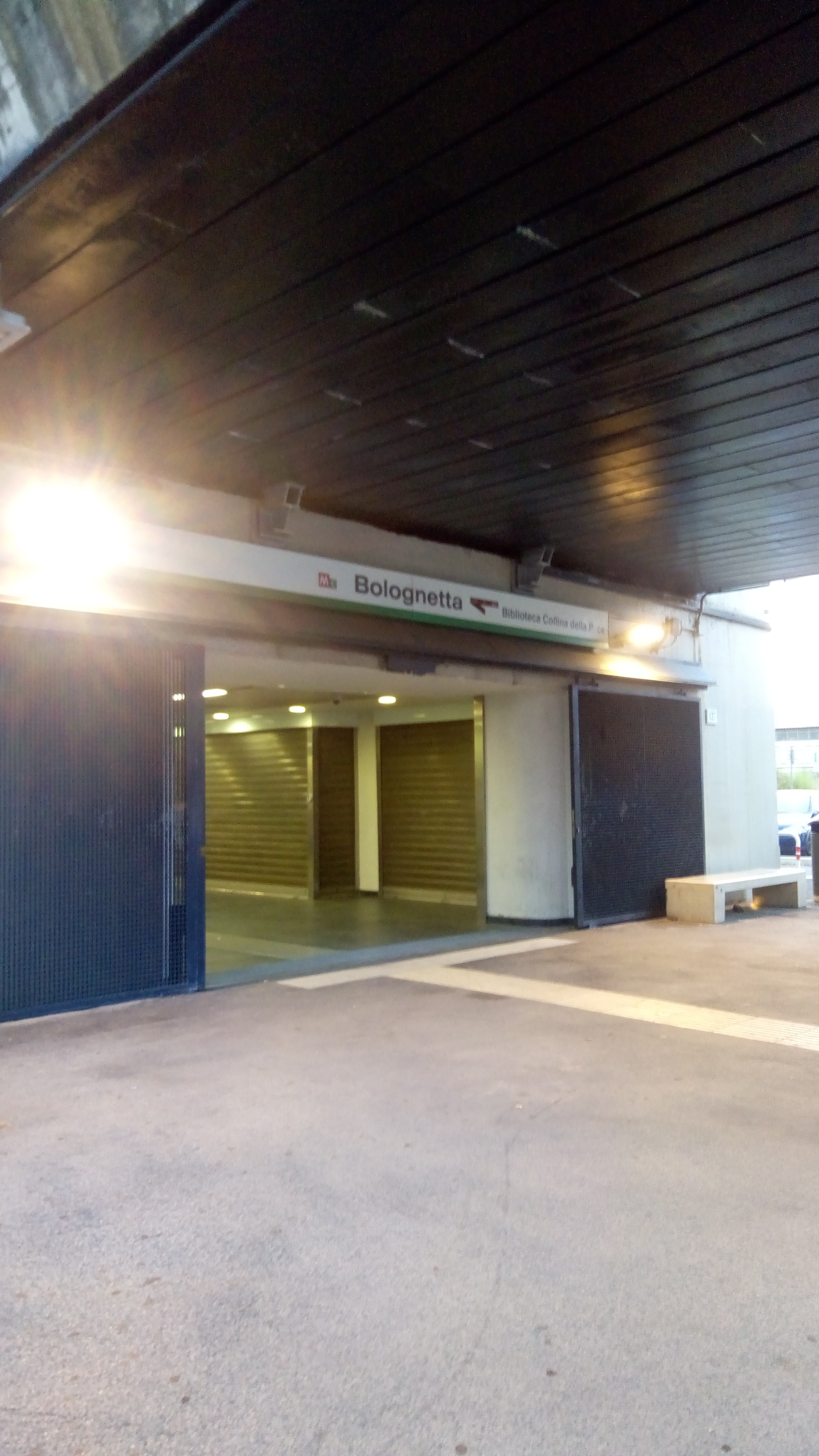 Taken by Daniel P.
See Bolognetta station, Roma, on the map
Public transit to Bolognetta station in Roma
Looking for directions to Bolognetta in Roma, Italy?
Download the Moovit App to find the current schedule and step-by-step directions for Bus or Metro routes that pass through Bolognetta.
Looking for the nearest stops closest to Bolognetta ? Check out this list of closest stops to your destination: Casilina/Militello; Rocca Cencia/Serrule; Finocchio; Casilina/Prataporci; Rome | Prataporci Street Casilina Street; Borghesiana/Cinisi.
Bus: 045, 051, 055, C9, COTRAL, NMC, 107, 052, 555.Metro: C.
We make riding on public transit to Bolognetta easy, which is why over 1.7 billion users, including users in Roma trust Moovit as the best app for public transit.
Use the app to navigate to popular places including to the airport, hospital, stadium, grocery store, mall, coffee shop, school, college, and university.
The station has the following entrances: Bolognetta Street and Motta Camastra Street
The first line to this station is FC3, at 5:35 AM, and the last line is FC3 at 12:01 AM.
This station serves Cotral’s lines
Popular routes from Bolognetta station, Roma
- Casilina/Militello,
- Rocca Cencia/Serrule,
- Casilina/Prataporci,
- Rome | Prataporci Street Casilina Street,
- Borghesiana/Cinisi
Bus stops near Bolognetta stop
- Finocchio
Metro station near Bolognetta station
- Boccea/Battistini,
- Due Leoni-Fontana Candida,
- Villanova,
- XX Settembre Square,
- Mameli,
- Magliana/Delle Vigne,
- Milvio Bridge,
- Tor Vergata Hospital,
- Roma Ostiense,
- Gianicolo Passage/Villa Corsini,
- Roma Trastevere,
- Marconi (Metro),
- Roma | Sant'Eugenio Hospital,
- Colli Portuensi/Monteverde,
- Colombo/Laurentina,
- Ladispoli, Odescalchi Road, 139,
- Salvo D'Acquisto Avenue 1,
- Frosinone | Pertini Square,
- Latina | Aldo Moro Square,
- Toffia
Popular public transit stations in Roma
Get around Roma by public transit!
Traveling around Roma has never been so easy. See step by step directions as you travel to any attraction, street or major public transit station. View bus and train schedules, arrival times, service alerts and detailed routes on a map, so you know exactly how to get to anywhere in Roma.
When traveling to any destination around Roma use Moovit's Live Directions with Get Off Notifications to know exactly where and how far to walk, how long to wait for your line, and how many stops are left. Moovit will alert you when it's time to get off — no need to constantly re-check whether yours is the next stop.
Wondering how to use public transit in Roma or how to pay for public transit in Roma? Moovit public transit app can help you navigate your way with public transit easily, and at minimum cost. It includes public transit fees, ticket prices, and costs. Looking for a map of Roma public transit lines? Moovit public transit app shows all public transit maps in Roma with all Bus, Train, Metro, Light Rail, Ferry, Funicular and Gondola routes and stops on an interactive map.
Rome and Lazio has 7 transit type(s), including: Bus, Train, Metro, Light Rail, Ferry, Funicular and Gondola, operated by several transit agencies, including ATAC, Cotral, Trenitalia, Troiani Transportation Services, BIS, ATR Mobility, Tuscia, Shuttle, Seatour, Troiani Bus Lines, CSC Mobility, Terravision, ATRAL, Tambus and Sitbus