Directions to Bracken Events (Wellesley) with public transportation
The following transit lines have routes that pass near Bracken Events
 Bus: 01, MBRS.
- Train: FRAMINGHAM/WORCESTER, NEEDHAM.
- Subway: GREEN LINE D.
How to get to Bracken Events by bus?
Click on the bus route to see step by step directions with maps, line arrival times and updated time schedules.
From Bentley University, Waltham
113 minFrom Heartbreak Hill, Newton
125 minFrom Watertown, MA, Watertown Town
122 minFrom West Roxbury, Boston
139 minFrom Route 9 East / West Framingham, Framingham
56 minFrom Newton, MA, Newton
114 minFrom VFW Parkway, Boston
123 minFrom Conte Forum, Boston
120 minFrom Brighton, Boston
127 minFrom Chestnut Hill, Boston
119 min
How to get to Bracken Events by train?
Click on the train route to see step by step directions with maps, line arrival times and updated time schedules.
Train stations near Bracken Events in Wellesley
Subway station near Bracken Events in Wellesley
- Riverside, 55 min walk,VIEW
What are the closest stations to Bracken Events?
The closest stations to Bracken Events are:
- Wellesley Square is 3315 yards away, 39 min walk.
- Riverside is 4638 yards away, 55 min walk.
- Needham Heights is 4891 yards away, 57 min walk.
Which bus lines stop near Bracken Events?
These bus lines stop near Bracken Events: 01, MBRS.
Which train line stops near Bracken Events?
FRAMINGHAM/WORCESTER (#529 | Worcester)
What time is the first subway to Bracken Events in Wellesley?
The GREEN LINE D is the first subway that goes to Bracken Events in Wellesley. It stops nearby at 4:45 AM.
What time is the last subway to Bracken Events in Wellesley?
The GREEN LINE D is the last subway that goes to Bracken Events in Wellesley. It stops nearby at 2:48 AM.
What time is the first train to Bracken Events in Wellesley?
The FRAMINGHAM/WORCESTER is the first train that goes to Bracken Events in Wellesley. It stops nearby at 5:09 AM.
What time is the last train to Bracken Events in Wellesley?
The FRAMINGHAM/WORCESTER is the last train that goes to Bracken Events in Wellesley. It stops nearby at 12:32 AM.
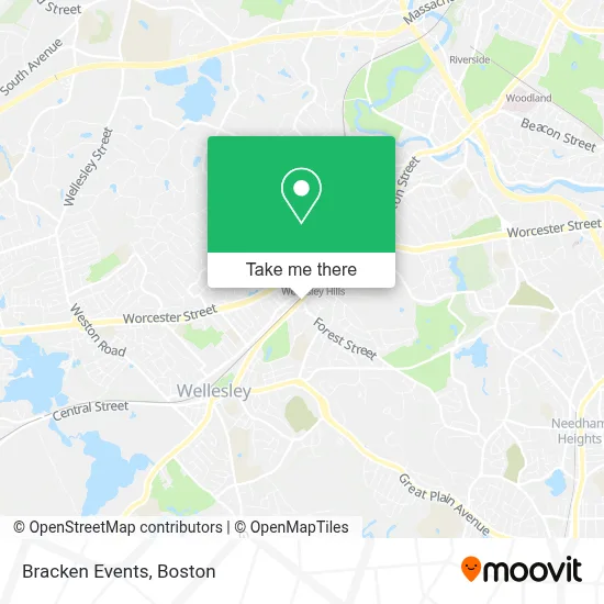
See Bracken Events, Wellesley, on the map
Public Transit to Bracken Events in Wellesley
Wondering how to get to Bracken Events in Wellesley? Moovit helps you find the best way to get to Bracken Events with step-by-step directions from the nearest public transit station.
Moovit provides free maps and live directions to help you navigate through your city. View schedules, routes, timetables, and find out how long does it take to get to Bracken Events in real time.
Looking for the nearest stop or station to Bracken Events? Check out this list of stops closest to your destination: Wellesley Square; Riverside; Needham Heights.
Bus: 01, MBRS.Train: FRAMINGHAM/WORCESTER, NEEDHAM.Subway: GREEN LINE D.
Want to see if there’s another route that gets you there at an earlier time? Moovit helps you find alternative routes or times. Get directions from and directions to Bracken Events easily from the Moovit App or Website.
We make riding to Bracken Events easy, which is why over 1.7 million users, including users in Wellesley, trust Moovit as the best app for public transit. You don’t need to download an individual bus app or train app, Moovit is your all-in-one transit app that helps you find the best bus time or train time available.
For information on prices of bus, train and subway, costs and ride fares to Bracken Events, please check the Moovit app.
Use the app to navigate to popular places including to the airport, hospital, stadium, grocery store, mall, coffee shop, school, college, and university.
Bracken Events Address: 396 Washington St street in Wellesley
- Shred Nations,
- Bardorf Legal Marketing,
- Adam Quenneville Roofing and Siding,
- Consumer Daily,
- Bitcoin Depot Bitcoin ATM,
- Probuilder Financial,
- Rutland Nurseries,
- Stonehedge Developments,
- Fresh Nests,
- New World Chorale,
- Bti Consulting Group,
- Boston Leadership Institute,
- Speedy Cleaning Company,
- Master Trainer Health and Fitness,
- Mls Property Information Network, Inc.,
- Castile Ventures Management Co.,
- D & M Landscape and Construction,
- Joumana Feghali,
- Meir Segal,
- Citizens Bank
Places Near Bracken Events (Wellesley)
- Castle Island, Boston,
- Isabella Stewart Gardner Museum, Boston,
- Cheers, Boston,
- Seaport District, Boston,
- House Of Blues, Boston,
- Wilbur Theatre, Boston,
- Td Garden, Boston,
- Wang Theater, Boston,
- Boston Children's Hospital, Boston,
- Prudential Center, Boston,
- Faneuil Hall, Boston,
- Museum Of Science, Boston,
- Mgm Music Hall, Boston,
- Leader Bank Pavilion (Leader Bank Pavillion), Boston,
- Massachusetts General Hospital, Boston,
- Boston Convention & Exhibition Center, Boston,
- Boston Common, Boston,
- Boston Medical Center, Boston,
- North End, Boston,
- Quincy Market, Boston
How to get to popular places in Boston with public transit
Get around Wellesley by public transit!
Traveling around Wellesley has never been so easy. See step by step directions as you travel to any attraction, street or major public transit station. View bus and train schedules, arrival times, service alerts and detailed routes on a map, so you know exactly how to get to anywhere in Wellesley.
When traveling to any destination around Wellesley use Moovit's Live Directions with Get Off Notifications to know exactly where and how far to walk, how long to wait for your line, and how many stops are left. Moovit will alert you when it's time to get off — no need to constantly re-check whether yours is the next stop.
Wondering how to use public transit in Wellesley or how to pay for public transit in Wellesley? Moovit public transit app can help you navigate your way with public transit easily, and at minimum cost. It includes public transit fees, ticket prices, and costs. Looking for a map of Wellesley public transit lines? Moovit public transit app shows all public transit maps in Wellesley with all Bus, Train, Subway and Ferry routes and stops on an interactive map.
Boston has 4 transit type(s), including: Bus, Train, Subway and Ferry, operated by several transit agencies, including MBTA, Southeastern Regional Transit Authority, MetroWest Regional Transit Authority, Rhode Island Public Transit Authority, WRTA, Lowell Regional Transit Authority, Merrimack Valley Transit, Montachusett Regional Transit Authority, Cape Cod Regional Transit Authority, Brockton Area Transit Authority, Martha's Vineyard Transit Authority, the WAVE - Nantucket Regional Transit Authority, GATRA, Cape Ann Transportation Authority and Massport