Bryan-Market stop - Monday schedule
| Line | Direction | Time |
|---|---|---|
| 79 | Newport Transp Center | 5:34 AM |
| 79 | Newport Transp Center | 6:04 AM |
| 79 | Newport Transp Center | 6:30 AM |
| 79 | Newport Transp Center | 6:52 AM |
| 79 | Newport Transp Center | 7:25 AM |
| 79 | Newport Transp Center | 7:55 AM |
| 79 | Newport Transp Center | 8:25 AM |
| 79 | Newport Transp Center | 8:54 AM |
| 79 | Newport Transp Center | 9:24 AM |
| 79 | Newport Transp Center | 10:02 AM |
| 79 | Newport Transp Center | 10:42 AM |
| 79 | Newport Transp Center | 11:22 AM |
| 79 | Newport Transp Center | 12:02 PM |
| 79 | Newport Transp Center | 12:42 PM |
| 79 | Newport Transp Center | 1:22 PM |
| 79 | Newport Transp Center | 2:02 PM |
| 79 | Newport Transp Center | 2:37 PM |
| 79 | Newport Transp Center | 3:13 PM |
| 79 | Newport Transp Center | 3:43 PM |
| 79 | Newport Transp Center | 4:13 PM |
| 79 | Newport Transp Center | 4:43 PM |
| 79 | Newport Transp Center | 5:13 PM |
| 79 | Newport Transp Center | 5:43 PM |
| 79 | Newport Transp Center | 6:18 PM |
| 79 | Newport Transp Center | 6:51 PM |
Directions to Bryan-Market stop (Irvine) with public transit
The following transit lines have routes that pass near Bryan-Market
 Bus: 79, 167.
- Train: IE-OC LINE, OC LINE.
How to get to Bryan-Market stop by bus?
Click on the bus route to see step by step directions with maps, line arrival times and updated time schedules.
How to get to Bryan-Market stop by train?
Click on the train route to see step by step directions with maps, line arrival times and updated time schedules.
Bus stops near Bryan-Market stop in Irvine
- Irvine-Market Place, 11 min walk,
- Bryan-Myford, 12 min walk,
Train stations near Bryan-Market station in Irvine
- Tustin Metrolink Station, 22 min walk,
Bus lines to Bryan-Market stop in Irvine
- 167, The Village at Orange,
- 79, Newport Transp Center,
What are the closest stations to Bryan-Market?
The closest stations to Bryan-Market are:
- Irvine-Market Place stop is 936 yards away, 11 min walk.
- Bryan-Myford stop is 977 yards away, 12 min walk.
- Tustin Metrolink Station is 1815 yards away, 22 min walk.
Which bus line stops near Bryan-Market?
79 (Newport Transp Center)
Which train lines stop near Bryan-Market?
These train lines stop near Bryan-Market: IE-OC LINE, OC LINE.
What’s the nearest train station to Bryan-Market in Irvine?
The nearest train station to Bryan-Market in Irvine is Tustin Metrolink Station. It’s a 22 min walk away.
What’s the nearest bus station to Bryan-Market in Irvine?
The nearest bus station to Bryan-Market in Irvine is Irvine-Market Place. It’s a 11 min walk away.
What time is the first train to Bryan-Market in Irvine?
The IE-OC LINE is the first train that goes to Bryan-Market in Irvine. It stops nearby at 5:15 AM.
What time is the last train to Bryan-Market in Irvine?
The IE-OC LINE is the last train that goes to Bryan-Market in Irvine. It stops nearby at 7:45 PM.
What time is the first bus to Bryan-Market in Irvine?
The 79 is the first bus that goes to Bryan-Market in Irvine. It stops nearby at 5:32 AM.
What time is the last bus to Bryan-Market in Irvine?
The 79 is the last bus that goes to Bryan-Market in Irvine. It stops nearby at 10:46 PM.
Bryan-Market station
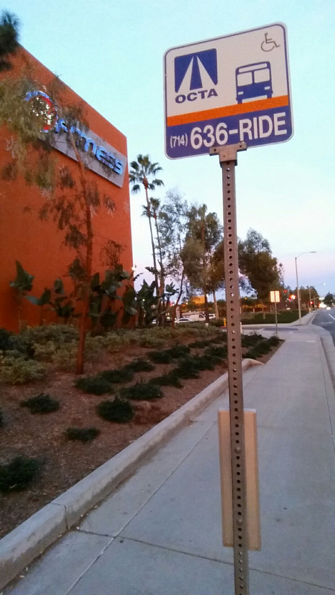 Taken by Anonymous
See Bryan-Market stop, Irvine, on the map
Public transit to Bryan-Market stop (ID: 3228) in Irvine
Looking for directions to Bryan-Market in Irvine, United States?
Download the Moovit App to find the current schedule and step-by-step directions for Bus or Train routes that pass through Bryan-Market.
Looking for the nearest stops closest to Bryan-Market ? Check out this list of closest stops to your destination: Irvine-Market Place; Bryan-Myford; Tustin Metrolink Station.
Bus: 79, 167.Train: IE-OC LINE, OC LINE.
We make riding on public transit to Bryan-Market easy, which is why over 1.7 billion users, including users in Irvine trust Moovit as the best app for public transit.
Use the app to navigate to popular places including to the airport, hospital, stadium, grocery store, mall, coffee shop, school, college, and university.
Bryan-Market stop’s code is 3228
The first line to this stop is 79, at 5:34 AM, and the last line is 79 at 9:52 PM.
13752 Jamboree Road, Tustin, CA, USA
This stop serves OCTA’s lines
- Irvine-Market Place,
- Bryan-Myford
Bus stops near Bryan-Market stop
- Tustin Metrolink Station
Train station near Bryan-Market station
- Hoover / Venice,
- Los Angeles St & Olympic Blvd,
- Sherman Way / Tujunga,
- Washington Blvd / La Cienega Blvd,
- Truman / Hubbard,
- 54th & Van Ness Ave.,
- 3rd / La Brea,
- Imperial Hwy & Main St (Westbound),
- Union Ave & 18th St (Northbound),
- Sunset / Palisades,
- Manchester / La Cienega,
- Parthenia St & Tampa Ave (Westbound),
- Long Beach Blvd. at Anaheim St.,
- Roscoe / Hazeltine,
- Aviation Blvd. & Rosecrans Ave.,
- Lake Ave & California Blvd,
- Bouquet Canyon Rd & Soledad Canyon Rd,
- Vermont / Athens Station,
- 1st / Broadway,
- 183rd Street and Studebaker Road- S/E Corner
Popular public transit stations in Irvine
Get around Irvine by public transit!
Traveling around Irvine has never been so easy. See step by step directions as you travel to any attraction, street or major public transit station. View bus and train schedules, arrival times, service alerts and detailed routes on a map, so you know exactly how to get to anywhere in Irvine.
When traveling to any destination around Irvine use Moovit's Live Directions with Get Off Notifications to know exactly where and how far to walk, how long to wait for your line, and how many stops are left. Moovit will alert you when it's time to get off — no need to constantly re-check whether yours is the next stop.
Wondering how to use public transit in Irvine or how to pay for public transit in Irvine? Moovit public transit app can help you navigate your way with public transit easily, and at minimum cost. It includes public transit fees, ticket prices, and costs. Looking for a map of Irvine public transit lines? Moovit public transit app shows all public transit maps in Irvine with all Bus, Train, Subway, Ferry and Funicular routes and stops on an interactive map.
Los Angeles has 5 transit type(s), including: Bus, Train, Subway, Ferry and Funicular, operated by several transit agencies, including Metro, Metro Event Service, Alhambra Community Transit (ACT), Arcadia Transit, Artesia Transit, AVTA, Baldwin Park Transit, Beach Cities Transit, Beaumont Transit, Bell Gardens Town Trolley, Bellflower Bus, Big Blue Bus, Burbank Bus, Calabasas Trolley and Camarillo Area Transit