Castleknock College stop - Thursday schedule
| Line | Direction | Time |
|---|---|---|
| 37 | Wilton Terrace | 5:45 AM |
| 37 | Wilton Terrace | 6:05 AM |
| 37 | Wilton Terrace | 6:20 AM |
| 37 | Wilton Terrace | 6:35 AM |
| 37 | Wilton Terrace | 6:50 AM |
| 37 | Wilton Terrace | 7:05 AM |
| 37 | Wilton Terrace | 7:10 AM |
| 37 | Wilton Terrace | 7:15 AM |
| 37 | Wilton Terrace | 7:25 AM |
| 37 | Wilton Terrace | 7:35 AM |
| 37 | Wilton Terrace | 7:42 AM |
| 37 | Wilton Terrace | 7:44 AM |
| 37 | Wilton Terrace | 7:52 AM |
| 37 | Wilton Terrace | 8:00 AM |
| 37 | Wilton Terrace | 8:07 AM |
| 37 | Wilton Terrace | 8:17 AM |
| 37 | Wilton Terrace | 8:27 AM |
| 270T | Castleknock College | 8:35 AM |
| 37 | Wilton Terrace | 8:37 AM |
| 37 | Wilton Terrace | 8:48 AM |
| 37 | Wilton Terrace | 9:08 AM |
| 37 | Wilton Terrace | 9:28 AM |
| 37 | Wilton Terrace | 9:45 AM |
| 37 | Wilton Terrace | 10:05 AM |
| 37 | Wilton Terrace | 10:25 AM |
Directions to Castleknock College stop (Castleknock-Knockmaroon) with public transit
The following transit lines have routes that pass near Castleknock College
 Bus: 37, WESTMORELAND STREET - TYRRELSTOWN, 270T, BI01.
- Train: RAIL.
How to get to Castleknock College stop by bus?
Click on the bus route to see step by step directions with maps, line arrival times and updated time schedules.
How to get to Castleknock College stop by train?
Click on the train route to see step by step directions with maps, line arrival times and updated time schedules.
Bus stops near Castleknock College stop in Castleknock-Knockmaroon
- Diswellstown Road, 1 min walk,
- Bramley Walk, 13 min walk,
Train stations near Castleknock College station in Castleknock-Knockmaroon
- Clonsilla, 26 min walk,
Bus lines to Castleknock College stop in Castleknock-Knockmaroon
- 37, Bachelor's Walk,
- WESTMORELAND STREET - TYRRELSTOWN, Tyrrelstown,
- 270T, Littlepace Park,
- BI01, Bramley Walk,
What are the closest stations to Castleknock College?
The closest stations to Castleknock College are:
- Diswellstown Road is 7 meters away, 1 min walk.
- Bramley Walk is 920 meters away, 13 min walk.
- Clonsilla is 1974 meters away, 26 min walk.
Which bus line stops near Castleknock College?
37 (Blanchardstown Sc)
Which train line stops near Castleknock College?
RAIL (Dublin Pearse→Maynooth)
What’s the nearest train station to Castleknock College in Castleknock-Knockmaroon?
The nearest train station to Castleknock College in Castleknock-Knockmaroon is Clonsilla. It’s a 26 min walk away.
What’s the nearest bus station to Castleknock College in Castleknock-Knockmaroon?
The nearest bus station to Castleknock College in Castleknock-Knockmaroon is Diswellstown Road. It’s a 1 min walk away.
What time is the first train to Castleknock College in Castleknock-Knockmaroon?
The RAIL is the first train that goes to Castleknock College in Castleknock-Knockmaroon. It stops nearby at 5:42 AM.
What time is the last train to Castleknock College in Castleknock-Knockmaroon?
The RAIL is the last train that goes to Castleknock College in Castleknock-Knockmaroon. It stops nearby at 12:00 AM.
What time is the first bus to Castleknock College in Castleknock-Knockmaroon?
The 37 is the first bus that goes to Castleknock College in Castleknock-Knockmaroon. It stops nearby at 5:43 AM.
What time is the last bus to Castleknock College in Castleknock-Knockmaroon?
The 37 is the last bus that goes to Castleknock College in Castleknock-Knockmaroon. It stops nearby at 12:08 AM.
Castleknock College station
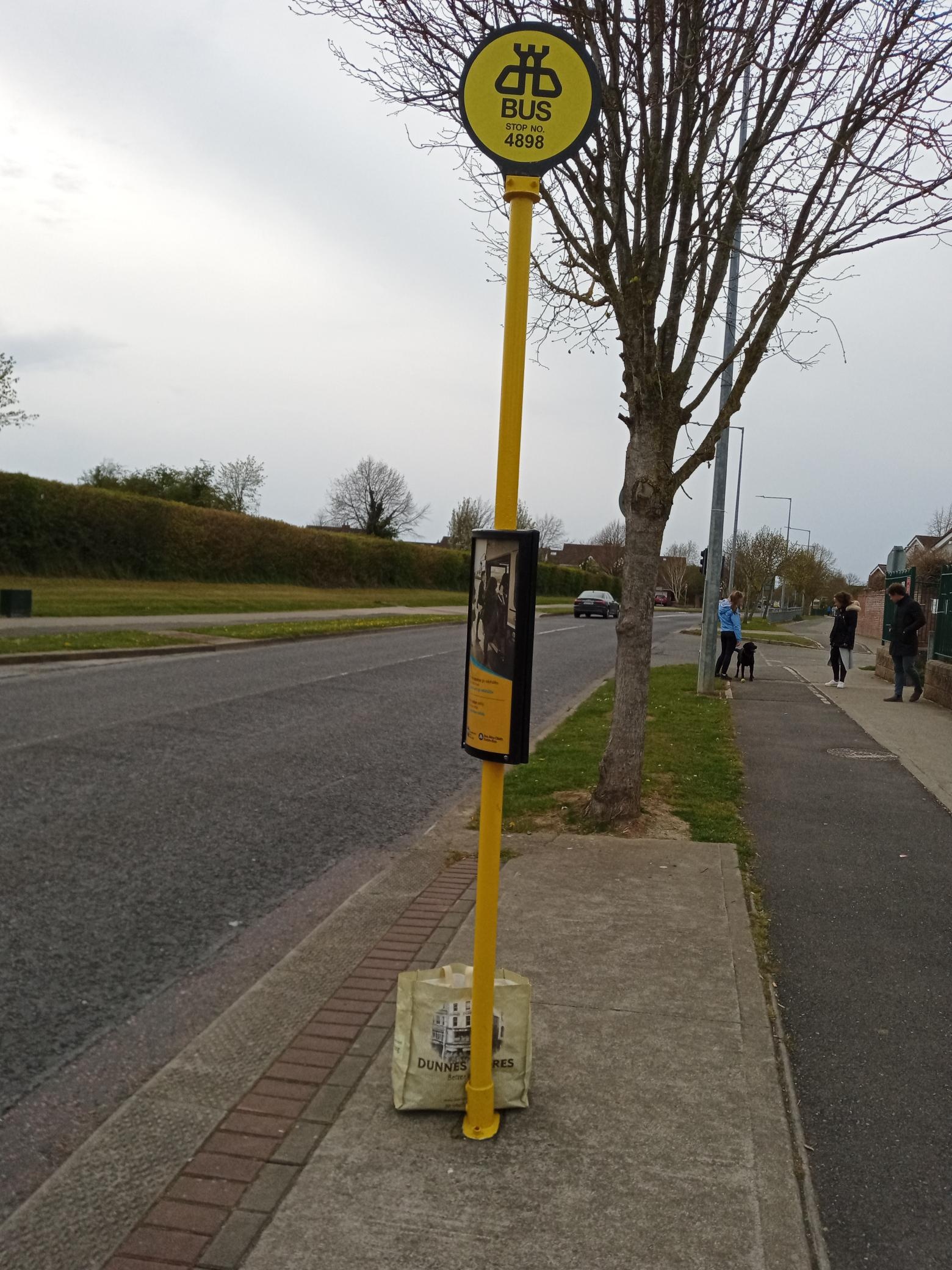 Taken by Anonymous
See Castleknock College stop, Castleknock-Knockmaroon, on the map
Public transit to Castleknock College stop (ID: 4898) in Castleknock-Knockmaroon
Looking for directions to Castleknock College in Castleknock-Knockmaroon, Ireland?
Download the Moovit App to find the current schedule and step-by-step directions for Bus or Train routes that pass through Castleknock College.
Looking for the nearest stops closest to Castleknock College ? Check out this list of closest stops to your destination: Diswellstown Road; Bramley Walk; Clonsilla.
Bus: 37, WESTMORELAND STREET - TYRRELSTOWN, 270T, BI01.Train: RAIL.
We make riding on public transit to Castleknock College easy, which is why over 1.5 million users, including users in Castleknock-Knockmaroon trust Moovit as the best app for public transit.
Use the app to navigate to popular places including to the airport, hospital, stadium, grocery store, mall, coffee shop, school, college, and university.
Castleknock College stop’s code is 4898
The first line to this stop is 37, at 5:45 AM, and the last line is 37 at 11:38 PM.
This stop serves Bus Átha Cliath – Dublin Bus and Go-Ahead’s lines
- Diswellstown Road,
- Bramley Walk
Bus stops near Castleknock College stop
- Clonsilla
Train station near Castleknock College station
- Toughers Ind Estate,
- Western Way,
- Bayside Coast,
- Torquay Road,
- The Mater Hospital,
- Ardlea Road,
- The Clock Tower,
- Father Griffin Road,
- Norwood Park,
- Blueball,
- Finglas (North Rd Westbound),
- Walkinstown Roundabout,
- Kilkenny, Castlecomer Road,
- Monivea Park,
- Main Street Clondalkin,
- Upper Dorset St (Temple Street),
- Newhall Retail Park,
- Saint Joseph's Care Centre,
- Seamount,
- Tullamore College
Popular public transit stations in Castleknock-Knockmaroon
Get around Castleknock-Knockmaroon by public transit!
Traveling around Castleknock-Knockmaroon has never been so easy. See step by step directions as you travel to any attraction, street or major public transit station. View bus and train schedules, arrival times, service alerts and detailed routes on a map, so you know exactly how to get to anywhere in Castleknock-Knockmaroon.
When traveling to any destination around Castleknock-Knockmaroon use Moovit's Live Directions with Get Off Notifications to know exactly where and how far to walk, how long to wait for your line, and how many stops are left. Moovit will alert you when it's time to get off — no need to constantly re-check whether yours is the next stop.
Wondering how to use public transit in Castleknock-Knockmaroon or how to pay for public transit in Castleknock-Knockmaroon? Moovit public transit app can help you navigate your way with public transit easily, and at minimum cost. It includes public transit fees, ticket prices, and costs. Looking for a map of Castleknock-Knockmaroon public transit lines? Moovit public transit app shows all public transit maps in Castleknock-Knockmaroon with all Bus, Train and Light Rail routes and stops on an interactive map.
Ireland has 3 transit type(s), including: Bus, Train and Light Rail, operated by several transit agencies, including Luas, Bus Átha Cliath – Dublin Bus, Bus Éireann, Go-Ahead Ireland, Nitelink, Dublin Bus, Citylink, City Direct, Kenneally's Bus Service, Aircoach, TFI Local Link Mayo, Irish Rail, Express Bus, JJ/Bernard Kavanagh, Dublin Coach and Kearns Transport