How to get to Castro H M by bus?
Click on the bus route to see step by step directions with maps, line arrival times and updated time schedules.
From Silver Spring Civic Building (Silver Spring Civic Center), Montgomery County
58 minFrom Coolidge High School, Washington
71 minFrom National Zoo, Washington
80 minFrom Smithsonian National Zoological Park, Washington
78 minFrom Ellsworth Place, Montgomery County
58 minFrom Germantown Md, Washington
55 minFrom Calvert St NW, Washington
52 minFrom Comet Ping Pong, Washington
66 minFrom Liberty Crossing, Fairfax County
106 minFrom Montgomery Blair High School, Montgomery County
57 min
How to get to Castro H M by metro?
Click on the metro route to see step by step directions with maps, line arrival times and updated time schedules.
From Silver Spring Civic Building (Silver Spring Civic Center), Montgomery County
89 minFrom Coolidge High School, Washington
93 minFrom National Zoo, Washington
66 minFrom Smithsonian National Zoological Park, Washington
63 minFrom Ellsworth Place, Montgomery County
86 minFrom Comet Ping Pong, Washington
67 minFrom Liberty Crossing, Fairfax County
105 min
Bus stops near Castro H M in Montgomery County
What are the closest stations to Castro H M?
The closest stations to Castro H M are:
- Greentree Rd & Ridge Pl is 147 yards away, 2 min walk.
- Ewing Dr & Bradmoor Dr is 412 yards away, 6 min walk.
Which bus lines stop near Castro H M?
These bus lines stop near Castro H M: 30, 47.
Which metro line stops near Castro H M?
RED (Shady Grove)
What’s the nearest bus station to Castro H M in Montgomery County?
The nearest bus station to Castro H M in Montgomery County is Greentree Rd & Ridge Pl. It’s a 2 min walk away.
What time is the first bus to Castro H M in Montgomery County?
The 47 is the first bus that goes to Castro H M in Montgomery County. It stops nearby at 5:21 AM.
What time is the last bus to Castro H M in Montgomery County?
The 47 is the last bus that goes to Castro H M in Montgomery County. It stops nearby at 11:21 PM.
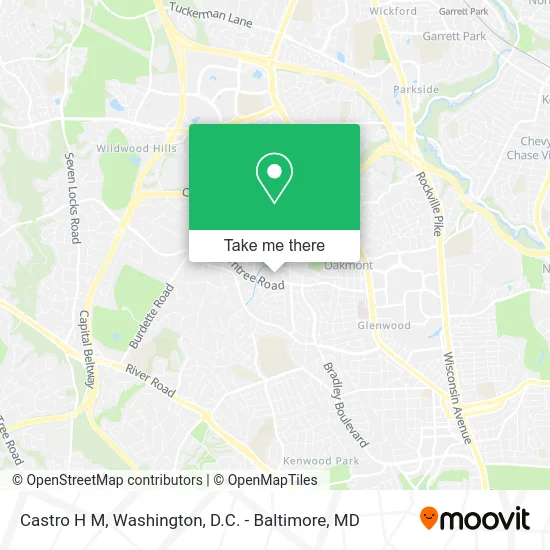
See Castro H M, Montgomery County, on the map
Public Transit to Castro H M in Montgomery County
Wondering how to get to Castro H M in Montgomery County? Moovit helps you find the best way to get to Castro H M with step-by-step directions from the nearest public transit station.
Moovit provides free maps and live directions to help you navigate through your city. View schedules, routes, timetables, and find out how long does it take to get to Castro H M in real time.
Looking for the nearest stop or station to Castro H M? Check out this list of stops closest to your destination: Greentree Rd & Ridge Pl; Ewing Dr & Bradmoor Dr.
Bus: 30, 47.Metro: RED.
Want to see if there’s another route that gets you there at an earlier time? Moovit helps you find alternative routes or times. Get directions from and directions to Castro H M easily from the Moovit App or Website.
We make riding to Castro H M easy, which is why over 1.5 million users, including users in Montgomery County, trust Moovit as the best app for public transit. You don’t need to download an individual bus app or train app, Moovit is your all-in-one transit app that helps you find the best bus time or train time available.
For information on prices of bus and metro, costs and ride fares to Castro H M, please check the Moovit app.
Use the app to navigate to popular places including to the airport, hospital, stadium, grocery store, mall, coffee shop, school, college, and university.
Castro H M Address: 8914 Ridge Pl Bethesda, MD 20817 street in Montgomery County
- North Bethesda Middle School,
- Julia Kirvan LCSW-C,
- North Bethesda Middle,
- Gatega Interior Design,
- Maqaame Ibrahim Islamic Center,
- Appliance Repair Leaders,
- C. Harris Real Estate Partners,
- The Supreme Court,
- Schniebolkfinancial,
- Criticalmed,
- Bethesda Fitness,
- USPS Collection Box - Blue Box,
- Free Little Library,
- Newlane Real Estate,
- Bradley Hills Elementary School,
- Landmarc Real Estate,
- Creative Tots (Creative Learning Center),
- C & M Interiors,
- Rollingwood Builders,
- David Lueders
Places Near Castro H M (Montgomery County)
- Sibley Memorial Hospital, Washington,
- Westfield Montgomery Mall, Montgomery County,
- PG Mall, Prince George's County,
- Amazon Hq2, Arlington County,
- Basilica of the National Shrine, Washington,
- Washington DC VA Medical Center, Washington,
- Camden Yards, Baltimore,
- Museum Of The Bible, Washington,
- National Museum of African American History and Culture, Washington,
- National Zoo, Washington,
- The Anthem, Washington,
- Pennsylvania Ave NW (3rd st and pennsylvania), Washington,
- Washington National Cathedral, Washington,
- M&T Bank Stadium, Baltimore,
- Rock Creek Tennis Center, Washington,
- Warner Theatre, Washington,
- Georgetown, Washington,
- Capital One Arena, Washington,
- National Theatre, Washington,
- Marriott Marquis Washington, DC, Washington
How to get to popular places in Washington, D.C. - Baltimore, MD with public transit
Get around Montgomery County by public transit!
Traveling around Montgomery County has never been so easy. See step by step directions as you travel to any attraction, street or major public transit station. View bus and train schedules, arrival times, service alerts and detailed routes on a map, so you know exactly how to get to anywhere in Montgomery County.
When traveling to any destination around Montgomery County use Moovit's Live Directions with Get Off Notifications to know exactly where and how far to walk, how long to wait for your line, and how many stops are left. Moovit will alert you when it's time to get off — no need to constantly re-check whether yours is the next stop.
Wondering how to use public transit in Montgomery County or how to pay for public transit in Montgomery County? Moovit public transit app can help you navigate your way with public transit easily, and at minimum cost. It includes public transit fees, ticket prices, and costs. Looking for a map of Montgomery County public transit lines? Moovit public transit app shows all public transit maps in Montgomery County with all Bus, Train, Metro, Light Rail and Ferry routes and stops on an interactive map.
Washington, D.C. - Baltimore, MD has 5 transit type(s), including: Bus, Train, Metro, Light Rail and Ferry, operated by several transit agencies, including WMATA, Montgomery County Ride On, Fairfax Connector, TheBus, PRTC, DASH - Alexandria, Arlington Transit (ART), RTA of Central Maryland, MDOT MTA, MDOT MTA Light RailLink, MDOT MTA Commuter Bus, MDOT MTA Local Bus, FXBGO!, Virginia Railway Express (VRE) and MARC