How to get to Free Little Library by bus?
Click on the bus route to see step by step directions with maps, line arrival times and updated time schedules.
From Bethesda North Marriott Hotel & Conference Center, Montgomery County
44 minFrom Embassy Of Pakistan, Washington
57 minFrom French Embassy, Washington
89 minFrom Wheaton Mall, Montgomery County
55 minFrom Avalon Theatre, Washington
57 minFrom William Hg Fitzgerald Tennis Center, Washington
62 minFrom National Academy of Science, Washington
60 minFrom Georgetown Flea Market, Washington
60 minFrom Omni Shoreham Hotel, Washington
84 minFrom Embassy of France, Washington
88 min
How to get to Free Little Library by metro?
Click on the metro route to see step by step directions with maps, line arrival times and updated time schedules.
Bus stops near Free Little Library in Montgomery County
What are the closest stations to Free Little Library?
The closest stations to Free Little Library are:
- Bradmoor Dr & Madison St is 284 yards away, 4 min walk.
- Greentree Rd & Bradmoor Dr is 447 yards away, 6 min walk.
Which bus lines stop near Free Little Library?
These bus lines stop near Free Little Library: 30, 47.
Which metro line stops near Free Little Library?
RED (Glenmont)
What’s the nearest bus station to Free Little Library in Montgomery County?
The nearest bus station to Free Little Library in Montgomery County is Bradmoor Dr & Madison St. It’s a 4 min walk away.
What time is the first bus to Free Little Library in Montgomery County?
The 47 is the first bus that goes to Free Little Library in Montgomery County. It stops nearby at 5:20 AM.
What time is the last bus to Free Little Library in Montgomery County?
The 47 is the last bus that goes to Free Little Library in Montgomery County. It stops nearby at 11:22 PM.
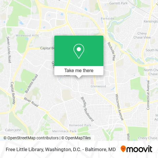
See Free Little Library, Montgomery County, on the map
Public Transit to Free Little Library in Montgomery County
Wondering how to get to Free Little Library in Montgomery County? Moovit helps you find the best way to get to Free Little Library with step-by-step directions from the nearest public transit station.
Moovit provides free maps and live directions to help you navigate through your city. View schedules, routes, timetables, and find out how long does it take to get to Free Little Library in real time.
Looking for the nearest stop or station to Free Little Library? Check out this list of stops closest to your destination: Bradmoor Dr & Madison St; Greentree Rd & Bradmoor Dr.
Bus: 30, 47.Metro: RED.
Want to see if there’s another route that gets you there at an earlier time? Moovit helps you find alternative routes or times. Get directions from and directions to Free Little Library easily from the Moovit App or Website.
We make riding to Free Little Library easy, which is why over 1.5 million users, including users in Montgomery County, trust Moovit as the best app for public transit. You don’t need to download an individual bus app or train app, Moovit is your all-in-one transit app that helps you find the best bus time or train time available.
For information on prices of bus and metro, costs and ride fares to Free Little Library, please check the Moovit app.
Use the app to navigate to popular places including to the airport, hospital, stadium, grocery store, mall, coffee shop, school, college, and university.
Free Little Library Address: Hartsdale Ave Bethesda, MD 20817 street in Montgomery County
- Bradley Hills Elementary School,
- The Doggie Trail,
- Julia Kirvan LCSW-C,
- Jan Polissar,
- Gatega Interior Design,
- Security Plate Locksmith,
- Castro H M,
- Philip Corcoran, MD,
- Suburban Hospital,
- Suburban Hospital Emergency Room,
- North Bethesda Middle School,
- NIH Building 82,
- Appliance Repair Leaders,
- C. Harris Real Estate Partners,
- Schniebolkfinancial,
- Johns Hopkins Suburban Hospital,
- Nci Information Systems,
- Women's Club Productions,
- North Bethesda Middle,
- MCF Consulting
Places Near Free Little Library (Montgomery County)
- Marriott Marquis Washington, DC, Washington,
- M&T Bank Stadium, Baltimore,
- Amazon Hq2, Arlington County,
- PG Mall, Prince George's County,
- National Zoo, Washington,
- National Mall, Washington,
- Rock Creek Tennis Center, Washington,
- Sibley Memorial Hospital, Washington,
- Washington DC VA Medical Center, Washington,
- Museum Of The Bible, Washington,
- The Anthem, Washington,
- Georgetown, Washington,
- Pennsylvania Ave NW (3rd st and pennsylvania), Washington,
- Camden Yards, Baltimore,
- National Museum of African American History and Culture, Washington,
- Warner Theatre, Washington,
- Washington National Cathedral, Washington,
- Capital One Arena, Washington,
- Basilica of the National Shrine, Washington,
- Westfield Montgomery Mall, Montgomery County
How to get to popular places in Washington, D.C. - Baltimore, MD with public transit
Get around Montgomery County by public transit!
Traveling around Montgomery County has never been so easy. See step by step directions as you travel to any attraction, street or major public transit station. View bus and train schedules, arrival times, service alerts and detailed routes on a map, so you know exactly how to get to anywhere in Montgomery County.
When traveling to any destination around Montgomery County use Moovit's Live Directions with Get Off Notifications to know exactly where and how far to walk, how long to wait for your line, and how many stops are left. Moovit will alert you when it's time to get off — no need to constantly re-check whether yours is the next stop.
Wondering how to use public transit in Montgomery County or how to pay for public transit in Montgomery County? Moovit public transit app can help you navigate your way with public transit easily, and at minimum cost. It includes public transit fees, ticket prices, and costs. Looking for a map of Montgomery County public transit lines? Moovit public transit app shows all public transit maps in Montgomery County with all Bus, Train, Metro, Light Rail and Ferry routes and stops on an interactive map.
Washington, D.C. - Baltimore, MD has 5 transit type(s), including: Bus, Train, Metro, Light Rail and Ferry, operated by several transit agencies, including WMATA, Montgomery County Ride On, Fairfax Connector, TheBus, PRTC, DASH - Alexandria, Arlington Transit (ART), RTA of Central Maryland, MDOT MTA, MDOT MTA Light RailLink, MDOT MTA Commuter Bus, MDOT MTA Local Bus, FXBGO!, Virginia Railway Express (VRE) and MARC