How to get to Cell@Fix by bus?
Click on the bus route to see step by step directions with maps, line arrival times and updated time schedules.
From Living Grace Church, Edmonton
86 minFrom Century Mile Racetrack And Casino, Leduc County
71 minFrom Riverbend Square, Edmonton
47 minFrom Century Park Transit Centre, Edmonton
49 minFrom Petro-Canada, Edmonton
58 minFrom Tan FX Tanning Studio & Boutique, Edmonton
75 minFrom Alberta Environmental Farm Plan, Edmonton
56 minFrom Costco, Leduc County
57 minFrom Real Canadian Superstore, Edmonton
53 minFrom Alberta Beach Pentecostal Camp, Edmonton
21 min
Bus stops near Cell@Fix in Edmonton
Bus lines to Cell@Fix in Edmonton
What are the closest stations to Cell@Fix?
The closest stations to Cell@Fix are:
- Desrochers Boulevard & Desrochers Gate SW is 111 meters away, 2 min walk.
- Desrochers Boulevard & 35 Avenue SW is 417 meters away, 6 min walk.
- Desrochers Drive & Desrochers Boulevard SW is 491 meters away, 7 min walk.
- James Mowatt Trail & Allard Boulevard SW is 544 meters away, 8 min walk.
Which bus line stops near Cell@Fix?
721 (Century Park Transit Centre→Desrochers Boulevard & Desrochers Gate SW)
What’s the nearest bus station to Cell@Fix in Edmonton?
The nearest bus station to Cell@Fix in Edmonton is Desrochers Boulevard & Desrochers Gate SW. It’s a 2 min walk away.
What time is the first bus to Cell@Fix in Edmonton?
The 721 is the first bus that goes to Cell@Fix in Edmonton. It stops nearby at 6:03 AM.
What time is the last bus to Cell@Fix in Edmonton?
The 721 is the last bus that goes to Cell@Fix in Edmonton. It stops nearby at 12:34 AM.
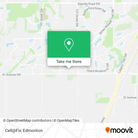
See Cell@Fix, Edmonton, on the map
Public Transit to Cell@Fix in Edmonton
Wondering how to get to Cell@Fix in Edmonton? Moovit helps you find the best way to get to Cell@Fix with step-by-step directions from the nearest public transit station.
Moovit provides free maps and live directions to help you navigate through your city. View schedules, routes, timetables, and find out how long does it take to get to Cell@Fix in real time.
Looking for the nearest stop or station to Cell@Fix? Check out this list of stops closest to your destination: Desrochers Boulevard & Desrochers Gate SW; Desrochers Boulevard & 35 Avenue SW; Desrochers Drive & Desrochers Boulevard SW; James Mowatt Trail & Allard Boulevard SW.
Bus: 721, 668, 667, 727, 658, 664, 665.
Want to see if there’s another route that gets you there at an earlier time? Moovit helps you find alternative routes or times. Get directions from and directions to Cell@Fix easily from the Moovit App or Website.
We make riding to Cell@Fix easy, which is why over 1.5 million users, including users in Edmonton, trust Moovit as the best app for public transit. You don’t need to download an individual bus app or train app, Moovit is your all-in-one transit app that helps you find the best bus time or train time available.
For information on prices of bus, costs and ride fares to Cell@Fix, please check the Moovit app.
Use the app to navigate to popular places including to the airport, hospital, stadium, grocery store, mall, coffee shop, school, college, and university.
Cell@Fix Address: 311 Desrochers Blvd SW Edmonton, AB T6W 3H9 street in Edmonton
- Izzahs Fashion,
- GDL Drywall Taping,
- Dial A Bottle,
- Bliss N Beauty,
- Vape Link,
- Moni's Massage Place,
- Hi End Liquor,
- Coinflip Bitcoin ATM,
- Planet Hollyweed,
- Desi Tadka Ultimate in Indian Cuisine,
- Brainiax Early Learning,
- BP Clothing,
- Art by Sharon Marlow,
- YEG smart Fix,
- Crepe Delicious Cafe,
- Desrochers Dental,
- Co-Op,
- Desrochers Villages,
- Turnbull Gamroth L,
- S & B Cleaning
Places Near Cell@Fix (Edmonton)
- Kaye Edmonton Clinic, Edmonton,
- Grey Nuns Community Hospital, Edmonton,
- Fort Edmonton Park, Edmonton,
- Canada Place Service Canada Centre, Edmonton,
- Londonderry Mall, Edmonton,
- Royal Alexandra Hospital, Edmonton,
- Edmonton EXPO Centre, Edmonton,
- Rogers Place, Edmonton,
- MacEwan University, Edmonton,
- Edmonton Commonwealth Stadium, Edmonton,
- Kingsway Mall, Edmonton,
- Borden Park, Edmonton,
- Alberta Legislature Building, Edmonton,
- Edmonton VIA Rail Station, Edmonton,
- Northgate Centre, Edmonton,
- West Edmonton Mall, Edmonton,
- University of Alberta, Edmonton,
- Edmonton Valley Zoo, Edmonton,
- Cross Cancer Institute, Edmonton,
- Whyte Avenue, Edmonton
How to get to popular places in Edmonton with public transit
Get around Edmonton by public transit!
Traveling around Edmonton has never been so easy. See step by step directions as you travel to any attraction, street or major public transit station. View bus and train schedules, arrival times, service alerts and detailed routes on a map, so you know exactly how to get to anywhere in Edmonton.
When traveling to any destination around Edmonton use Moovit's Live Directions with Get Off Notifications to know exactly where and how far to walk, how long to wait for your line, and how many stops are left. Moovit will alert you when it's time to get off — no need to constantly re-check whether yours is the next stop.
Wondering how to use public transit in Edmonton or how to pay for public transit in Edmonton? Moovit public transit app can help you navigate your way with public transit easily, and at minimum cost. It includes public transit fees, ticket prices, and costs. Looking for a map of Edmonton public transit lines? Moovit public transit app shows all public transit maps in Edmonton with all Bus and Light Rail routes and stops on an interactive map.
Edmonton has 2 transit type(s), including: Bus and Light Rail, operated by several transit agencies, including ETS LRT, ETS, Strathcona County Transit, St. Albert Transit, Spruce Grove Transit, Fort Saskatchewan Transit, Beaumont Transit and Leduc Transit