Directions to Charlotte / Douglas Int'l Airport with public transportation
The following transit lines have routes that pass near Charlotte / Douglas Int'l Airport
How to get to Charlotte / Douglas Int'l Airport by bus?
Click on the bus route to see step by step directions with maps, line arrival times and updated time schedules.
Which bus lines stop near Charlotte / Douglas Int'l Airport?
These bus lines stop near Charlotte / Douglas Int'l Airport: 5, 60.
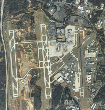
See Charlotte / Douglas Int'l Airport on the map
Public Transportation to Charlotte / Douglas Int'l Airport
Wondering how to get to Charlotte / Douglas Int'l Airport, United States? Moovit helps you find the best way to get to Charlotte / Douglas Int'l Airport with step-by-step directions from the nearest public transit station.
Moovit provides free maps and live directions to help you navigate through your city. View schedules, routes, timetables, and find out how long does it take to get to Charlotte / Douglas Int'l Airport in real time.
Bus: 5, 60.
Want to see if there’s another route that gets you there at an earlier time? Moovit helps you find alternative routes or times. Get directions from and directions to Charlotte / Douglas Int'l Airport easily from the Moovit App or Website.
We make riding to Charlotte / Douglas Int'l Airport easy, which is why over 1.5 million users, including users in Charlotte, trust Moovit as the best app for public transit. You don’t need to download an individual bus app or train app, Moovit is your all-in-one transit app that helps you find the best bus time or train time available.
For information on prices of bus, costs and ride fares to Charlotte / Douglas Int'l Airport, please check the Moovit app.
Use the app to navigate to popular places including to the airport, hospital, stadium, grocery store, mall, coffee shop, school, college, and university.
Charlotte / Douglas Int'l Airport Address: Charlotte, NC 28208 street in Charlotte
Attractions near Charlotte / Douglas Int'l Airport
Charlotte Douglas Int'l-Long Term 4,News2you,Mindworks,Pza,Charlotte News & Gifts,Hotels Near,Charlotte Airport CLT,Nearby Airports,The Scoreboard,Panda Express,Wendy's,Charlotte Douglas International Airport-Curbside Valet,Dylan's Candy Bar,No Boundaries,M.A.C. Cosmetics,WESTERN UNION,Paradies Shop,CLT Charlotte's G,Nclottery-Charlottes L,CLT CNBC News C 1How to get to popular attractions in Charlotte with public transit
Le's Banh Mi Thit Nguoi, Charlotte,La Quinta Inn & Suites Charlotte Airport South, Charlotte,futo buta, Charlotte,Cotswold, Charlotte,Bank of America ATM, Charlotte,NoDa Brewing Company North End, Charlotte,Hair Klaudt, Charlotte,Mama Ricotta's, Charlotte,Wells Fargo Institutional Retirement & Trust, Charlotte,Wet Willie's, Charlotte,Mallard Creek Church Rd & Mallard Creek Rd, Charlotte,Electrolux North America, Charlotte,Carowinds Blvd,Hickory Tavern, Charlotte,Eastway & Shamrock, Charlotte,Benny Pennello's Pizza, Charlotte,Triple C Brewing Company, Charlotte,The Men's Club, Charlotte,Mellow Mushroom, Charlotte,Club Onyx, CharlotteGet around Charlotte by public transit!
Traveling around Charlotte has never been so easy. See step by step directions as you travel to any attraction, street or major public transit station. View bus and train schedules, arrival times, service alerts and detailed routes on a map, so you know exactly how to get to anywhere in Charlotte.
When traveling to any destination around Charlotte use Moovit's Live Directions with Get Off Notifications to know exactly where and how far to walk, how long to wait for your line, and how many stops are left. Moovit will alert you when it's time to get off — no need to constantly re-check whether yours is the next stop.
Wondering how to use public transit in Charlotte or how to pay for public transit in Charlotte? Moovit public transit app can help you navigate your way with public transit easily, and at minimum cost. It includes public transit fees, ticket prices, and costs. Looking for a map of Charlotte public transit lines? Moovit public transit app shows all public transit maps in Charlotte with all Bus, Train and Light Rail routes and stops on an interactive map.
Charlotte has 3 transit type(s), including: Bus, Train and Light Rail, operated by several transit agencies, including CATS, Rider Transit, Amtrak, Megabus, FlixBus-us, Greyhound-us