How to get to Coinme by bus?
Click on the bus route to see step by step directions with maps, line arrival times and updated time schedules.
How to get to Coinme by train?
Click on the train route to see step by step directions with maps, line arrival times and updated time schedules.
Bus stop near Coinme in Norwalk
- 380 Main Ave S, 3 min walk,VIEW
Bus lines to Coinme in Norwalk
- 3, Walmart Shopping Center,VIEW
What are the closest stations to Coinme?
The closest stations to Coinme are:
- 380 Main Ave S is 199 yards away, 3 min walk.
- Merrit 7 is 1094 yards away, 13 min walk.
- East Norwalk is 4425 yards away, 52 min walk.
Which bus lines stop near Coinme?
These bus lines stop near Coinme: 3, 341.
Which train line stops near Coinme?
5 (1849#| Stamford)
What’s the nearest train station to Coinme in Norwalk?
The nearest train station to Coinme in Norwalk is Merrit 7. It’s a 13 min walk away.
What’s the nearest bus station to Coinme in Norwalk?
The nearest bus station to Coinme in Norwalk is 380 Main Ave S. It’s a 3 min walk away.
What time is the first train to Coinme in Norwalk?
The 3 is the first train that goes to Coinme in Norwalk. It stops nearby at 5:17 AM.
What time is the last train to Coinme in Norwalk?
The 3 is the last train that goes to Coinme in Norwalk. It stops nearby at 2:54 AM.
What time is the first bus to Coinme in Norwalk?
The 3 is the first bus that goes to Coinme in Norwalk. It stops nearby at 5:16 AM.
What time is the last bus to Coinme in Norwalk?
The 3 is the last bus that goes to Coinme in Norwalk. It stops nearby at 10:41 PM.
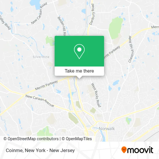
See Coinme, Norwalk, on the map
Public Transit to Coinme in Norwalk
Wondering how to get to Coinme in Norwalk? Moovit helps you find the best way to get to Coinme with step-by-step directions from the nearest public transit station.
Moovit provides free maps and live directions to help you navigate through your city. View schedules, routes, timetables, and find out how long does it take to get to Coinme in real time.
Looking for the nearest stop or station to Coinme? Check out this list of stops closest to your destination: 380 Main Ave S; Merrit 7; East Norwalk.
Bus: 3, 341.Train: 5, 3.
Want to see if there’s another route that gets you there at an earlier time? Moovit helps you find alternative routes or times. Get directions from and directions to Coinme easily from the Moovit App or Website.
We make riding to Coinme easy, which is why over 1.5 million users, including users in Norwalk, trust Moovit as the best app for public transit. You don’t need to download an individual bus app or train app, Moovit is your all-in-one transit app that helps you find the best bus time or train time available.
For information on prices of bus and train, costs and ride fares to Coinme, please check the Moovit app.
Use the app to navigate to popular places including to the airport, hospital, stadium, grocery store, mall, coffee shop, school, college, and university.
Coinme Address: 380 Main Ave street in Norwalk
- Hobby Lobby,
- Western Union,
- Stop & Shop #662,
- Shell,
- Bob's Stores Footwear & Apparel,
- Choyce Peterson, Inc.,
- Multiple Myeloma Research,
- Giorgio's Upholstery and Interior Decorating,
- National Hardware Show,
- Comdisco Video,
- Usi Insurance Services,
- Kathy Giusti,
- Merrittview (Merritt View Plaza),
- Heidmar Inc,
- Marmiso Graphic Design,
- Martin_Barberct,
- Hotel Zero Degrees Norwalk,
- Primary Medical Care Center,
- Unity Baptist Church,
- Norwalk Islamic Community Center
Places Near Coinme (Norwalk)
- Hudson Yards, Manhattan,
- Bellevue Hospital, Manhattan,
- 3 Stone St, Manhattan,
- 376 Hudson Street, Manhattan,
- 66 John Street, Manhattan,
- Chinatown, Manhattan,
- San Gennaro Feast, Manhattan,
- qqqq, Manhattan,
- Rockefeller Center, Manhattan,
- Mountainside Hospital, Glen Ridge,
- Times Square, Manhattan,
- 26 Federal Plaza, Manhattan,
- Queens Center Mall, Queens,
- Pier 83, Manhattan,
- 111 Centre New York City Supreme Court, Manhattan,
- Wall Street, Manhattan,
- SoHo, Manhattan,
- 911 Memorial, Manhattan,
- 1 Police Plaza, Manhattan,
- Katz's Deli, Manhattan
How to get to popular places in New York - New Jersey with public transit
Get around Norwalk by public transit!
Traveling around Norwalk has never been so easy. See step by step directions as you travel to any attraction, street or major public transit station. View bus and train schedules, arrival times, service alerts and detailed routes on a map, so you know exactly how to get to anywhere in Norwalk.
When traveling to any destination around Norwalk use Moovit's Live Directions with Get Off Notifications to know exactly where and how far to walk, how long to wait for your line, and how many stops are left. Moovit will alert you when it's time to get off — no need to constantly re-check whether yours is the next stop.
Wondering how to use public transit in Norwalk or how to pay for public transit in Norwalk? Moovit public transit app can help you navigate your way with public transit easily, and at minimum cost. It includes public transit fees, ticket prices, and costs. Looking for a map of Norwalk public transit lines? Moovit public transit app shows all public transit maps in Norwalk with all Bus, Train, Subway, Light Rail, Ferry and Cable Car routes and stops on an interactive map.
New York - New Jersey has 6 transit type(s), including: Bus, Train, Subway, Light Rail, Ferry and Cable Car, operated by several transit agencies, including MTA Subway, Metro-North Railroad, LIRR, PATH, MTA New York City Transit - Express routes, MTA Bus, NJ Transit, NYC Ferry, NICE bus, Bee-Line Bus, NJ Transit Rail, Norwalk Transit District, Hartford Line, River Valley Transit and HART