Directions to Community Veterinary Clinic (Newton) with public transportation
The following transit lines have routes that pass near Community Veterinary Clinic
 Bus: 52.
- Train: NEEDHAM.
- Subway: GREEN LINE D.
How to get to Community Veterinary Clinic by bus?
Click on the bus route to see step by step directions with maps, line arrival times and updated time schedules.
From YMCA of Greater Boston, Boston
80 minFrom New England Conservatory of Music, Boston
81 minFrom Dorchester District Court, Boston
78 minFrom Jordan Hall, Boston
79 minFrom Mission Hill, Boston
75 minFrom Wentworth Institute Of Technology, Boston
83 minFrom Dudley Station, Boston
82 minFrom Milton, MA, Milton
110 minFrom The Castle, Boston
59 minFrom Residence Inn by Marriott Boston Downtown/South End, Boston
77 min
Bus stop near Community Veterinary Clinic in Newton
- Dedham St Opp Rosalie Rd, 11 min walk,VIEW
Subway station near Community Veterinary Clinic in Newton
- Eliot, 34 min walk,VIEW
Train station near Community Veterinary Clinic in Newton
- Highland, 55 min walk,VIEW
Bus lines to Community Veterinary Clinic in Newton
- 52, Dedham Mall,VIEW
What are the closest stations to Community Veterinary Clinic?
The closest stations to Community Veterinary Clinic are:
- Dedham St Opp Rosalie Rd is 863 yards away, 11 min walk.
- Eliot is 2892 yards away, 34 min walk.
- Highland is 4688 yards away, 55 min walk.
Which bus line stops near Community Veterinary Clinic?
52 (Watertown Yard)
What’s the nearest bus station to Community Veterinary Clinic in Newton?
The nearest bus station to Community Veterinary Clinic in Newton is Dedham St Opp Rosalie Rd. It’s a 11 min walk away.
What time is the first subway to Community Veterinary Clinic in Newton?
The GREEN LINE D is the first subway that goes to Community Veterinary Clinic in Newton. It stops nearby at 4:50 AM.
What time is the last subway to Community Veterinary Clinic in Newton?
The GREEN LINE D is the last subway that goes to Community Veterinary Clinic in Newton. It stops nearby at 2:41 AM.
What time is the first train to Community Veterinary Clinic in Newton?
The NEEDHAM is the first train that goes to Community Veterinary Clinic in Newton. It stops nearby at 7:22 AM.
What time is the last train to Community Veterinary Clinic in Newton?
The NEEDHAM is the last train that goes to Community Veterinary Clinic in Newton. It stops nearby at 6:18 PM.
What time is the first bus to Community Veterinary Clinic in Newton?
The 52 is the first bus that goes to Community Veterinary Clinic in Newton. It stops nearby at 6:33 AM.
What time is the last bus to Community Veterinary Clinic in Newton?
The 52 is the last bus that goes to Community Veterinary Clinic in Newton. It stops nearby at 7:11 PM.
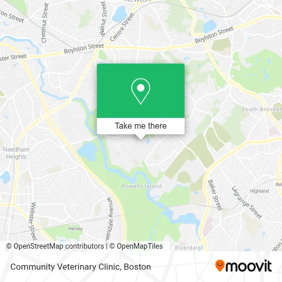
See Community Veterinary Clinic, Newton, on the map
Public Transit to Community Veterinary Clinic in Newton
Wondering how to get to Community Veterinary Clinic in Newton? Moovit helps you find the best way to get to Community Veterinary Clinic with step-by-step directions from the nearest public transit station.
Moovit provides free maps and live directions to help you navigate through your city. View schedules, routes, timetables, and find out how long does it take to get to Community Veterinary Clinic in real time.
Looking for the nearest stop or station to Community Veterinary Clinic? Check out this list of stops closest to your destination: Dedham St Opp Rosalie Rd; Eliot; Highland.
Bus: 52.Train: NEEDHAM.Subway: GREEN LINE D.
Want to see if there’s another route that gets you there at an earlier time? Moovit helps you find alternative routes or times. Get directions from and directions to Community Veterinary Clinic easily from the Moovit App or Website.
We make riding to Community Veterinary Clinic easy, which is why over 1.7 million users, including users in Newton, trust Moovit as the best app for public transit. You don’t need to download an individual bus app or train app, Moovit is your all-in-one transit app that helps you find the best bus time or train time available.
For information on prices of bus, subway and train, costs and ride fares to Community Veterinary Clinic, please check the Moovit app.
Use the app to navigate to popular places including to the airport, hospital, stadium, grocery store, mall, coffee shop, school, college, and university.
Community Veterinary Clinic Address: 100 Carlson Ave street in Newton
- Mount Ida College,
- Umass Dining,
- Athletic Center,
- Alan Witkower, Edd,
- Louis Jenis, MD,
- RPM Athlete Performance,
- Mt Ida Dining,
- Athletic Center,
- Necn Garage,
- Oasis Consulting Inc Oasis,
- Alm Works,
- Kosow Construction,
- Kennedy Hentoff & Patterson,
- Freedman Gerald Insurance Agency,
- Monique Kornfeld,
- Grossman & Associates, LTD.,
- Chestnut Hill Appraisal Services,
- Institute for Homelessness & Trauma,
- Fair Compensation,
- Bluestone Properties Elevator
Places Near Community Veterinary Clinic (Newton)
- Cheers, Boston,
- Boston Convention & Exhibition Center, Boston,
- Castle Island, Boston,
- Isabella Stewart Gardner Museum, Boston,
- Massachusetts General Hospital, Boston,
- Seaport District, Boston,
- Td Garden, Boston,
- North End, Boston,
- Prudential Center, Boston,
- Boston Common, Boston,
- Faneuil Hall, Boston,
- Museum Of Science, Boston,
- Leader Bank Pavilion (Leader Bank Pavillion), Boston,
- Wilbur Theatre, Boston,
- Quincy Market, Boston,
- Wang Theater, Boston,
- Boston Children's Hospital, Boston,
- House Of Blues, Boston,
- Boston Medical Center, Boston,
- Mgm Music Hall, Boston
How to get to popular places in Boston with public transit
Get around Newton by public transit!
Traveling around Newton has never been so easy. See step by step directions as you travel to any attraction, street or major public transit station. View bus and train schedules, arrival times, service alerts and detailed routes on a map, so you know exactly how to get to anywhere in Newton.
When traveling to any destination around Newton use Moovit's Live Directions with Get Off Notifications to know exactly where and how far to walk, how long to wait for your line, and how many stops are left. Moovit will alert you when it's time to get off — no need to constantly re-check whether yours is the next stop.
Wondering how to use public transit in Newton or how to pay for public transit in Newton? Moovit public transit app can help you navigate your way with public transit easily, and at minimum cost. It includes public transit fees, ticket prices, and costs. Looking for a map of Newton public transit lines? Moovit public transit app shows all public transit maps in Newton with all Bus, Train, Subway and Ferry routes and stops on an interactive map.
Boston has 4 transit type(s), including: Bus, Train, Subway and Ferry, operated by several transit agencies, including MBTA, Southeastern Regional Transit Authority, MetroWest Regional Transit Authority, Rhode Island Public Transit Authority, WRTA, Lowell Regional Transit Authority, Merrimack Valley Transit, Montachusett Regional Transit Authority, Cape Cod Regional Transit Authority, Brockton Area Transit Authority, Martha's Vineyard Transit Authority, the WAVE - Nantucket Regional Transit Authority, GATRA, Cape Ann Transportation Authority and Massport