Directions to Covenant Chapel (Leawood) with public transportation
The following transit lines have routes that pass near Covenant Chapel
 Bus: 57.
How to get to Covenant Chapel by bus?
Click on the bus route to see step by step directions with maps, line arrival times and updated time schedules.
From Marco's Pizza, Overland Park
92 minFrom The Zack Group, Overland Park
111 minFrom Complete Wedding + Events, Overland Park
112 minFrom Diversecleaningkc, Overland Park
114 minFrom Propio Language Services, Overland Park
106 minFrom Arrowhead Stadium, Overland Park
175 minFrom Auto Injury Treatment of Overland Park, Overland Park
90 min
Bus stop near Covenant Chapel in Leawood
- On State Line at 135th Northbound Farside, 5 min walk,VIEW
Bus lines to Covenant Chapel in Leawood
- 57, 57 - Wornall/135th & State Line,VIEW
What are the closest stations to Covenant Chapel?
The closest stations to Covenant Chapel are:
- On State Line at 135th Northbound Farside is 344 yards away, 5 min walk.
Which bus line stops near Covenant Chapel?
57 (57 - Wornall/Waldo)
What’s the nearest bus station to Covenant Chapel in Leawood?
The nearest bus station to Covenant Chapel in Leawood is On State Line at 135th Northbound Farside. It’s a 5 min walk away.
What time is the first bus to Covenant Chapel in Leawood?
The 57 is the first bus that goes to Covenant Chapel in Leawood. It stops nearby at 6:30 AM.
What time is the last bus to Covenant Chapel in Leawood?
The 57 is the last bus that goes to Covenant Chapel in Leawood. It stops nearby at 7:50 PM.
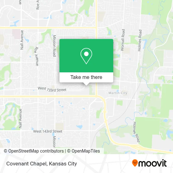
See Covenant Chapel, Leawood, on the map
Public Transit to Covenant Chapel in Leawood
Wondering how to get to Covenant Chapel in Leawood? Moovit helps you find the best way to get to Covenant Chapel with step-by-step directions from the nearest public transit station.
Moovit provides free maps and live directions to help you navigate through your city. View schedules, routes, timetables, and find out how long does it take to get to Covenant Chapel in real time.
Looking for the nearest stop or station to Covenant Chapel? Check out this list of stops closest to your destination: On State Line at 135th Northbound Farside.
Bus: 57.
Want to see if there’s another route that gets you there at an earlier time? Moovit helps you find alternative routes or times. Get directions from and directions to Covenant Chapel easily from the Moovit App or Website.
We make riding to Covenant Chapel easy, which is why over 1.5 million users, including users in Leawood, trust Moovit as the best app for public transit. You don’t need to download an individual bus app or train app, Moovit is your all-in-one transit app that helps you find the best bus time or train time available.
For information on prices of bus, costs and ride fares to Covenant Chapel, please check the Moovit app.
Use the app to navigate to popular places including to the airport, hospital, stadium, grocery store, mall, coffee shop, school, college, and university.
Covenant Chapel Address: Kenneth street in Leawood
- Covenant Chapel Evangelical Presbyterian Church,
- 13124 Meadow Ln,
- Village of Seville, Kansas,
- Greenbrier,
- Windy City Pub,
- Breakfast Spot,
- Opulent Massage,
- Elite Sports Medicine & Physical Therapy,
- Leawood Stables,
- Asana Hospice,
- Best Friends Pet,
- Salon 130,
- Dinkel Chiropractic,
- Leawood Nutrition,
- Arthritis & Rheumatolgy CLNCS of KS,
- Conroy's Public House,
- Edward Jones Investments,
- Goodyear Auto Service Center,
- House of Vacuums & Sewing,
- Delightful Dental Care
Places Near Covenant Chapel (Leawood)
- Liberty, MO, Liberty,
- Harrah's Casino, North Kansas City,
- Amazon Fulfilment Center-MKC6, Kansas City,
- Ku Medical Center, Kansas City,
- GEHA Field at Arrowhead Stadium,
- Walmart, Kansas City,
- St. Luke's Hospital - Medical Plaza I,
- Walmart Supercenter,
- Grandview, MO, Grandview,
- Legends Outlets Kansas City, Kansas City,
- T-Mobile Center,
- Kansas City International Airport (MCI) (Kansas City International Airport),
- Kansas City Zoo,
- Truman Medical Center,
- Country Club Plaza,
- The Glory Hole,
- Worlds of Fun,
- Kauffman Stadium,
- Stans Glory Hole,
- Arrowhead Stadium
How to get to popular places in Kansas City with public transit
Get around Leawood by public transit!
Traveling around Leawood has never been so easy. See step by step directions as you travel to any attraction, street or major public transit station. View bus and train schedules, arrival times, service alerts and detailed routes on a map, so you know exactly how to get to anywhere in Leawood.
When traveling to any destination around Leawood use Moovit's Live Directions with Get Off Notifications to know exactly where and how far to walk, how long to wait for your line, and how many stops are left. Moovit will alert you when it's time to get off — no need to constantly re-check whether yours is the next stop.
Wondering how to use public transit in Leawood or how to pay for public transit in Leawood? Moovit public transit app can help you navigate your way with public transit easily, and at minimum cost. It includes public transit fees, ticket prices, and costs. Looking for a map of Leawood public transit lines? Moovit public transit app shows all public transit maps in Leawood with all Bus, Train and Light Rail routes and stops on an interactive map.
Kansas City has 3 transit type(s), including: Bus, Train and Light Rail, operated by several transit agencies, including Kansas City Area Transportation Authority, Lawrence Transit, Topeka Metro, RideKC Johnson County, Amtrak, Greyhound-us and FlixBus-us