How to get to Custom Wheels by bus?
Click on the bus route to see step by step directions with maps, line arrival times and updated time schedules.
From Northeast High School, Fort Lauderdale
33 minFrom Wilton Manors, Fort Lauderdale
50 minFrom Trapeze Swing Club, Fort Lauderdale
76 minFrom Hotel Soap, Fort Lauderdale
38 minFrom Banco Davivienda sa Miami Internatl Branch, Fort Lauderdale
82 minFrom Mai-Kai Restaurant And Polynesian Show, Fort Lauderdale
52 minFrom W Commercial Blvd & 441 (SR 7), Fort Lauderdale
79 minFrom CCA Calvary Christian Academy, Fort Lauderdale
76 minFrom Sensual Asian Massage, Boca Raton
95 minFrom Xtreme Action Park, Fort Lauderdale
69 min
Bus stops near Custom Wheels in Pompano Beach
Train station near Custom Wheels in Pompano Beach
- Pompano Beach Station, 57 min walk,VIEW
Bus lines to Custom Wheels in Pompano Beach
What are the closest stations to Custom Wheels?
The closest stations to Custom Wheels are:
- Dixie Highway/Northeast 17th Court is 208 yards away, 3 min walk.
- Copans Road/Northeast 3rd Avenue is 861 yards away, 11 min walk.
- Northeast 3rd Avenue/Copans Road is 927 yards away, 12 min walk.
- Pompano Beach Station is 4858 yards away, 57 min walk.
Which bus lines stop near Custom Wheels?
These bus lines stop near Custom Wheels: 50, 83.
What’s the nearest bus station to Custom Wheels in Pompano Beach?
The nearest bus station to Custom Wheels in Pompano Beach is Dixie Highway/Northeast 17th Court. It’s a 3 min walk away.
What time is the first train to Custom Wheels in Pompano Beach?
The TRIRAIL is the first train that goes to Custom Wheels in Pompano Beach. It stops nearby at 4:41 AM.
What time is the last train to Custom Wheels in Pompano Beach?
The TRIRAIL is the last train that goes to Custom Wheels in Pompano Beach. It stops nearby at 10:50 PM.
What time is the first bus to Custom Wheels in Pompano Beach?
The 20 is the first bus that goes to Custom Wheels in Pompano Beach. It stops nearby at 4:49 AM.
What time is the last bus to Custom Wheels in Pompano Beach?
The 50 is the last bus that goes to Custom Wheels in Pompano Beach. It stops nearby at 11:56 PM.
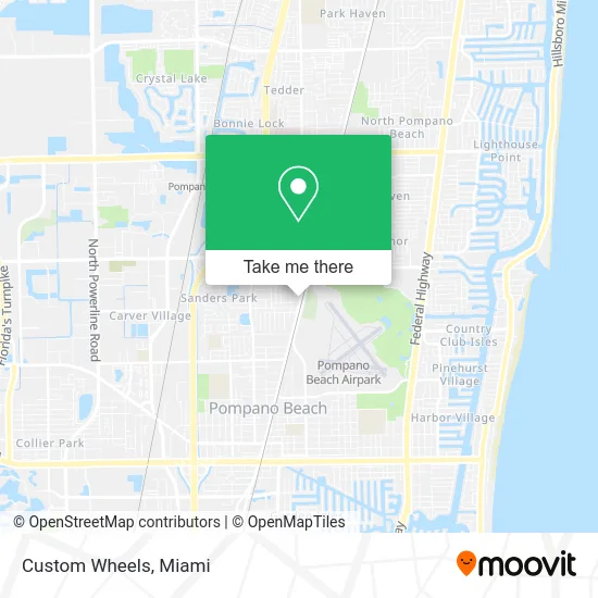
See Custom Wheels, Pompano Beach, on the map
Public Transit to Custom Wheels in Pompano Beach
Wondering how to get to Custom Wheels in Pompano Beach? Moovit helps you find the best way to get to Custom Wheels with step-by-step directions from the nearest public transit station.
Moovit provides free maps and live directions to help you navigate through your city. View schedules, routes, timetables, and find out how long does it take to get to Custom Wheels in real time.
Looking for the nearest stop or station to Custom Wheels? Check out this list of stops closest to your destination: Dixie Highway/Northeast 17th Court; Copans Road/Northeast 3rd Avenue; Northeast 3rd Avenue/Copans Road; Pompano Beach Station.
Bus: 50, 83, 20.Train: TRIRAIL.
Want to see if there’s another route that gets you there at an earlier time? Moovit helps you find alternative routes or times. Get directions from and directions to Custom Wheels easily from the Moovit App or Website.
We make riding to Custom Wheels easy, which is why over 1.5 million users, including users in Pompano Beach, trust Moovit as the best app for public transit. You don’t need to download an individual bus app or train app, Moovit is your all-in-one transit app that helps you find the best bus time or train time available.
For information on prices of bus, costs and ride fares to Custom Wheels, please check the Moovit app.
Use the app to navigate to popular places including to the airport, hospital, stadium, grocery store, mall, coffee shop, school, college, and university.
Custom Wheels Address: 1921 N Dixie Hwy Pompano Beach, FL 33060 street in Pompano Beach
- Executive Motor Sales,
- Family Tax,
- Louis & Matthews Investment,
- Ifrolix,
- J & B Lakay Takeout,
- Leos Auto Shop,
- 4riders Garage,
- Pollo National,
- Iglesia la Nueva Jerusalen Ad,
- Stars Professional Multi Services,
- CNS,
- Zipkingz,
- Frisco Cerradura Plus,
- Beautiful Rose Convenient Store,
- Amoco,
- RDS Apostolic Assembly,
- Lovely Park,
- Iron Mountain,
- Jennifer Cherenfant - Humana Agent,
- Budget Car Rental
Places Near Custom Wheels (Pompano Beach)
- Port of Miami Cruise Terminal, Miami,
- Miami Design District, Miami,
- Hard Rock Stadium, Miami Gardens,
- Bayside Marketplace, Miami,
- Brickell City Centre, Miami,
- Miami-Dade County Courthouse, Miami,
- Sawgrass mall ( FL ), Miami Beach,
- Dolphin Mall, Miami,
- Miami VA Hospital, Miami,
- Dolphin Mall Bus, Miami,
- Aventura Mall, Miami,
- Aventura Mall, Miami Beach,
- Richard E. Gerstein Justice Building, Miami,
- Little Havana, Miami,
- Wynwood, Miami,
- Zoo Miami, Miami,
- Keiser University Flagship Campus, West Palm Beach,
- Marlins Park, Miami,
- Sawgrass Mall, Miami,
- Miami Freedom Park, Miami
How to get to popular places in Miami with public transit
Get around Pompano Beach by public transit!
Traveling around Pompano Beach has never been so easy. See step by step directions as you travel to any attraction, street or major public transit station. View bus and train schedules, arrival times, service alerts and detailed routes on a map, so you know exactly how to get to anywhere in Pompano Beach.
When traveling to any destination around Pompano Beach use Moovit's Live Directions with Get Off Notifications to know exactly where and how far to walk, how long to wait for your line, and how many stops are left. Moovit will alert you when it's time to get off — no need to constantly re-check whether yours is the next stop.
Wondering how to use public transit in Pompano Beach or how to pay for public transit in Pompano Beach? Moovit public transit app can help you navigate your way with public transit easily, and at minimum cost. It includes public transit fees, ticket prices, and costs. Looking for a map of Pompano Beach public transit lines? Moovit public transit app shows all public transit maps in Pompano Beach with all Bus, Train, Light Rail and Ferry routes and stops on an interactive map.
Miami has 4 transit type(s), including: Bus, Train, Light Rail and Ferry, operated by several transit agencies, including Broward County Transit, Miami-Dade Transit, Metrorail, Palm Tran, Tri-Rail, Brightline, MARTY, City of Homestead Trolley, Key West Transit, Treasure Coast Connector, GoLine IRT, Amtrak, Greyhound-us, FlixBus-us and Aventura Express Shuttle Bus