How to get to Datz Foundation by bus?
Click on the bus route to see step by step directions with maps, line arrival times and updated time schedules.
From Museum Of The Bible, Washington
56 minFrom Embassy Suites-Bethesda Washington DC, Montgomery County
56 minFrom Cia Headquarters, Fairfax County
84 minFrom NoMA, Washington
57 minFrom Hyatt Regency Washington on Capitol Hill, Washington
55 minFrom Miracle Theatre, Washington
61 minFrom Cambria Hotel, Washington
75 minFrom Ben's Chili Bowl, Washington
77 minFrom Navy Yard, Washington
72 minFrom Jaleo, Washington
55 min
How to get to Datz Foundation by metro?
Click on the metro route to see step by step directions with maps, line arrival times and updated time schedules.
From Museum Of The Bible, Washington
32 minFrom NoMA, Washington
31 minFrom Hyatt Regency Washington on Capitol Hill, Washington
33 minFrom Miracle Theatre, Washington
38 minFrom Cambria Hotel, Washington
49 minFrom Ben's Chili Bowl, Washington
44 minFrom Navy Yard, Washington
40 minFrom Jaleo, Washington
27 min
Bus stops near Datz Foundation in Washington
Metro stations near Datz Foundation in Washington
Bus lines to Datz Foundation in Washington
What are the closest stations to Datz Foundation?
The closest stations to Datz Foundation are:
- Wisconsin Av Nw+Veazey St NW is 130 yards away, 2 min walk.
- Nebraska Av Nw+#4333 is 250 yards away, 4 min walk.
- Tenleytown Metro Station is 1114 yards away, 14 min walk.
- Columbia Heights is 5092 yards away, 60 min walk.
Which bus lines stop near Datz Foundation?
These bus lines stop near Datz Foundation: C51, D80.
Which metro line stops near Datz Foundation?
RED (Shady Grove)
What’s the nearest metro station to Datz Foundation in Washington?
The nearest metro station to Datz Foundation in Washington is Tenleytown Metro Station. It’s a 14 min walk away.
What’s the nearest bus station to Datz Foundation in Washington?
The nearest bus station to Datz Foundation in Washington is Wisconsin Av Nw+Veazey St NW. It’s a 2 min walk away.
What time is the first metro to Datz Foundation in Washington?
The GREEN is the first metro that goes to Datz Foundation in Washington. It stops nearby at 5:16 AM.
What time is the last metro to Datz Foundation in Washington?
The GREEN is the last metro that goes to Datz Foundation in Washington. It stops nearby at 12:25 AM.
What time is the first bus to Datz Foundation in Washington?
The C61 is the first bus that goes to Datz Foundation in Washington. It stops nearby at 3:01 AM.
What time is the last bus to Datz Foundation in Washington?
The D80 is the last bus that goes to Datz Foundation in Washington. It stops nearby at 3:25 AM.
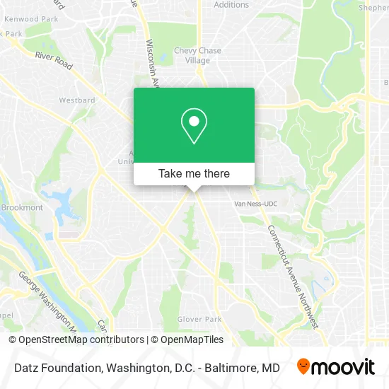
See Datz Foundation, Washington, on the map
Public Transit to Datz Foundation in Washington
Wondering how to get to Datz Foundation in Washington? Moovit helps you find the best way to get to Datz Foundation with step-by-step directions from the nearest public transit station.
Moovit provides free maps and live directions to help you navigate through your city. View schedules, routes, timetables, and find out how long does it take to get to Datz Foundation in real time.
Looking for the nearest stop or station to Datz Foundation? Check out this list of stops closest to your destination: Wisconsin Av Nw+Veazey St NW; Nebraska Av Nw+#4333; Tenleytown Metro Station; Columbia Heights.
Bus: C51, D80, C61, D82, C85, C81, D90.Metro: RED, GREEN, YELLOW.
Want to see if there’s another route that gets you there at an earlier time? Moovit helps you find alternative routes or times. Get directions from and directions to Datz Foundation easily from the Moovit App or Website.
We make riding to Datz Foundation easy, which is why over 1.5 million users, including users in Washington, trust Moovit as the best app for public transit. You don’t need to download an individual bus app or train app, Moovit is your all-in-one transit app that helps you find the best bus time or train time available.
For information on prices of metro and bus, costs and ride fares to Datz Foundation, please check the Moovit app.
Use the app to navigate to popular places including to the airport, hospital, stadium, grocery store, mall, coffee shop, school, college, and university.
Datz Foundation Address: 4268 Wisconsin Ave NW Washington, DC 20016 street in Washington
- Carolyn B Robinowitz,
- Jerold M Share MD,
- Fannie Mae Federal Credit Union,
- DC. Engine 20, Truck 12, BFC 5,
- Psych Care Pharmacy,
- Locks Re Key Washington,
- Locksmith for All,
- Visionworks (Visionworks Tenley Circle),
- &Pizza - Tenleytown,
- Piw,
- Schnabel Engineering DC Inc,
- Johnson's Florist & Garden Center,
- Medstar Georgetown Pediatrics,
- American University,
- Deducive,
- WESTERN UNION,
- Credit Union 1,
- APCOA PARKING,
- No Line Waiters,
- Saku Saku Flakerie
Places Near Datz Foundation (Washington)
- Capital One Arena, Washington,
- Museum Of The Bible, Washington,
- Washington DC VA Medical Center, Washington,
- Camden Yards, Baltimore,
- Sibley Memorial Hospital, Washington,
- Rock Creek Tennis Center, Washington,
- The Anthem, Washington,
- National Mall, Washington,
- Georgetown, Washington,
- Marriott Marquis Washington, DC, Washington,
- Pennsylvania Ave NW (3rd st and pennsylvania), Washington,
- Amazon Hq2, Arlington County,
- Basilica of the National Shrine, Washington,
- Westfield Montgomery Mall, Montgomery County,
- Warner Theatre, Washington,
- M&T Bank Stadium, Baltimore,
- National Zoo, Washington,
- Washington National Cathedral, Washington,
- National Museum of African American History and Culture, Washington,
- PG Mall, Prince George's County
How to get to popular places in Washington, D.C. - Baltimore, MD with public transit
Get around Washington by public transit!
Traveling around Washington has never been so easy. See step by step directions as you travel to any attraction, street or major public transit station. View bus and train schedules, arrival times, service alerts and detailed routes on a map, so you know exactly how to get to anywhere in Washington.
When traveling to any destination around Washington use Moovit's Live Directions with Get Off Notifications to know exactly where and how far to walk, how long to wait for your line, and how many stops are left. Moovit will alert you when it's time to get off — no need to constantly re-check whether yours is the next stop.
Wondering how to use public transit in Washington or how to pay for public transit in Washington? Moovit public transit app can help you navigate your way with public transit easily, and at minimum cost. It includes public transit fees, ticket prices, and costs. Looking for a map of Washington public transit lines? Moovit public transit app shows all public transit maps in Washington with all Bus, Train, Metro, Light Rail and Ferry routes and stops on an interactive map.
Washington, D.C. - Baltimore, MD has 5 transit type(s), including: Bus, Train, Metro, Light Rail and Ferry, operated by several transit agencies, including WMATA, Montgomery County Ride On, Fairfax Connector, TheBus, PRTC, DASH - Alexandria, Arlington Transit (ART), RTA of Central Maryland, MDOT MTA, MDOT MTA Light RailLink, MDOT MTA Commuter Bus, MDOT MTA Local Bus, FXBGO!, Virginia Railway Express (VRE) and MARC