How to get to Dom & Co by bus?
Click on the bus route to see step by step directions with maps, line arrival times and updated time schedules.
From Rue Louis de Broglie 34, Le Mans
81 minFrom Église Saint-Liboire, Le Mans
75 minFrom Magasin Kiabi le Mans Sud, Mulsanne
129 minFrom McDonald's, Mulsanne
130 minFrom Mad Eo, Le Mans
69 minFrom But, Mulsanne
131 minFrom Musée Automobile De La Sarthe, Le Mans
83 minFrom Auchan Drive Le Mans, Saint-Saturnin
90 minFrom Aéroport Le Mans-Arnage, Arnage
111 minFrom zone commerciale Des Hunaudières, Face Leroy Merlin - Rn138 Rte De Tours, Mulsanne
131 min
Bus lines to Dom & Co in Yvré-L'Évêque
What are the closest stations to Dom & Co?
The closest stations to Dom & Co are:
- Arcy is 730 meters away, 10 min walk.
- Calvaire is 1525 meters away, 20 min walk.
Which bus lines stop near Dom & Co?
These bus lines stop near Dom & Co: 12, 22, 23.
What’s the nearest bus station to Dom & Co in Yvré-L'Évêque?
The nearest bus station to Dom & Co in Yvré-L'Évêque is Arcy. It’s a 10 min walk away.
What time is the first bus to Dom & Co in Yvré-L'Évêque?
The 22 is the first bus that goes to Dom & Co in Yvré-L'Évêque. It stops nearby at 6:42 AM.
What time is the last bus to Dom & Co in Yvré-L'Évêque?
The 22 is the last bus that goes to Dom & Co in Yvré-L'Évêque. It stops nearby at 8:13 PM.
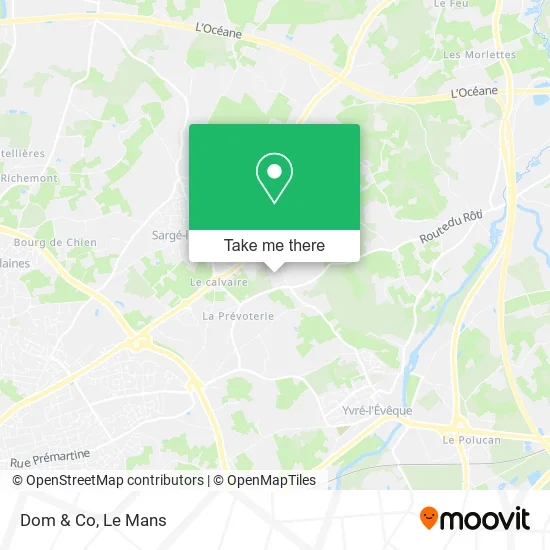
See Dom & Co, Yvré-L'Évêque, on the map
Public Transit to Dom & Co in Yvré-L'Évêque
Wondering how to get to Dom & Co in Yvré-L'Évêque? Moovit helps you find the best way to get to Dom & Co with step-by-step directions from the nearest public transit station.
Moovit provides free maps and live directions to help you navigate through your city. View schedules, routes, timetables, and find out how long does it take to get to Dom & Co in real time.
Looking for the nearest stop or station to Dom & Co? Check out this list of stops closest to your destination: Arcy; Calvaire.
Bus: 12, 22, 23, 122, 130.
Want to see if there’s another route that gets you there at an earlier time? Moovit helps you find alternative routes or times. Get directions from and directions to Dom & Co easily from the Moovit App or Website.
We make riding to Dom & Co easy, which is why over 1.5 million users, including users in Yvré-L'Évêque, trust Moovit as the best app for public transit. You don’t need to download an individual bus app or train app, Moovit is your all-in-one transit app that helps you find the best bus time or train time available.
For information on prices of bus and light rail, costs and ride fares to Dom & Co, please check the Moovit app.
Use the app to navigate to popular places including to the airport, hospital, stadium, grocery store, mall, coffee shop, school, college, and university.
Dom & Co Address: Allée des Hunaudières 72530 Yvré-l'Évêque street in Yvré-L'Évêque
- Franck Trouve,
- Destock Solutions,
- Le Bignon,
- Aubert Fréddy,
- Chez Ghislain,
- El Filali Leila,
- Besombes Alain,
- Résidence Labrege T2duplex Piscine,
- Bien-Être by Jérôme,
- Le Cottage Floral,
- Quick,
- Floin Creation,
- Le LOTUS Vert,
- Agence Caisse d'Épargne Sargé-lès-le-Mans,
- Allô Pizza,
- Place de la Liberté,
- 72190,
- Grand Frais,
- Infirmiers de Sargé,
- E.Leclerc Drive
Places Near Dom & Co (Yvré-L'Évêque)
- Place des Jacobins (le Mans), Le Mans,
- La Chapelle-Saint-Aubin, La Chapelle-Saint-Aubin,
- Camp du 2e RIMa, Champagné,
- Circuit des 24 Heures du Mans, Le Mans,
- Centre Hospitalier Du Mans, Le Mans,
- Université, Le Mans,
- Saint-Saturnin, Saint-Saturnin,
- Parc Des Expositions, Le Mans,
- Auchan le Mans, La Chapelle-Saint-Aubin,
- E.Leclerc, Le Mans,
- Maison D'Arrêt Le Mans - Les Croisettes, Coulaines,
- Changé, Changé,
- Coulaines, Coulaines,
- Clinique Pôle Santé Sud, Le Mans,
- Gare SNCF du Mans, Le Mans,
- Pôle Santé Sud-Elsan, Le Mans,
- Clinique Du Pré, Le Mans,
- Hôpital, Le Mans,
- Family Village, Ruaudin,
- Avenue Bollée, Le Mans
How to get to popular places in Le Mans with public transit
Get around Yvré-L'Évêque by public transit!
Traveling around Yvré-L'Évêque has never been so easy. See step by step directions as you travel to any attraction, street or major public transit station. View bus and train schedules, arrival times, service alerts and detailed routes on a map, so you know exactly how to get to anywhere in Yvré-L'Évêque.
When traveling to any destination around Yvré-L'Évêque use Moovit's Live Directions with Get Off Notifications to know exactly where and how far to walk, how long to wait for your line, and how many stops are left. Moovit will alert you when it's time to get off — no need to constantly re-check whether yours is the next stop.
Wondering how to use public transit in Yvré-L'Évêque or how to pay for public transit in Yvré-L'Évêque? Moovit public transit app can help you navigate your way with public transit easily, and at minimum cost. It includes public transit fees, ticket prices, and costs. Looking for a map of Yvré-L'Évêque public transit lines? Moovit public transit app shows all public transit maps in Yvré-L'Évêque with all Bus and Light Rail routes and stops on an interactive map.
Le Mans has 2 transit type(s), including: Bus and Light Rail, operated by several transit agencies, including SETRAM