Directions to Duxbury Onion Field with public transportation
The following transit lines have routes that pass near Duxbury Onion Field
 Bus: SAI.
Bus stop near Duxbury Onion Field
- Duxbury Library, 6 min walk,VIEW
Bus lines to Duxbury Onion Field
- SAI, Webster Square,VIEW
- Dr. Alexie Bouttier,
- Ellison Playground,
- B Home,
- Mayra Connolly Homes,
- Marshfield Living,
- Bonnie Bongiolatti Realtor,
- Walsh Matthew T Attorneys,
- Rian Kearney - Waterfront Realty,
- Duxbury High,
- B. Home Fine Consignments & More,
- Duxbury Provisions,
- Millbrook Station,
- Scott Hecker National Audubon Society,
- Duxbury Wellness,
- Day Law Firm PC,
- Sofit Training and Running,
- KC Home Team,
- Florek Financial,
- International Surgical,
- Threebuoysandamermaid/Mainland
Places Near Duxbury Onion Field
- House Of Blues, Boston,
- Wang Theater, Boston,
- Faneuil Hall, Boston,
- North End, Boston,
- Boston Medical Center, Boston,
- Quincy Market, Boston,
- Leader Bank Pavilion (Leader Bank Pavillion), Boston,
- Seaport District, Boston,
- Museum Of Science, Boston,
- Massachusetts General Hospital, Boston,
- Prudential Center, Boston,
- Boston Common, Boston,
- Td Garden, Boston,
- Wilbur Theatre, Boston,
- Boston Convention & Exhibition Center, Boston,
- Mgm Music Hall, Boston,
- Castle Island, Boston,
- Cheers, Boston,
- Boston Children's Hospital, Boston,
- Isabella Stewart Gardner Museum, Boston
How to get to popular places in Boston with public transit
What are the closest stations to Duxbury Onion Field?
The closest stations to Duxbury Onion Field are:
- Duxbury Library is 435 yards away, 6 min walk.
Which bus line stops near Duxbury Onion Field?
SAI (Kingston Collection→Shop/Kohl's)
What’s the nearest bus station to Duxbury Onion Field?
The nearest bus station to Duxbury Onion Field is Duxbury Library. It’s a 6 min walk away.
What time is the first bus to Duxbury Onion Field?
The SAI is the first bus that goes to Duxbury Onion Field. It stops nearby at 7:40 AM.
What time is the last bus to Duxbury Onion Field?
The SAI is the last bus that goes to Duxbury Onion Field. It stops nearby at 6:36 PM.
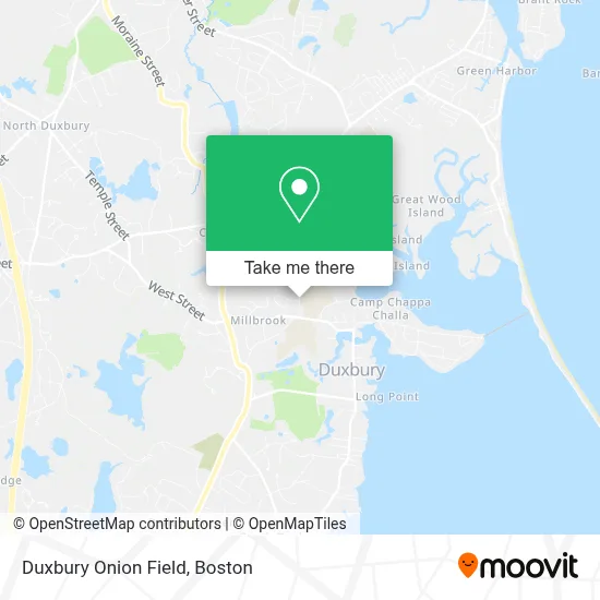
See Duxbury Onion Field on the map
Public Transportation to Duxbury Onion Field
Wondering how to get to Duxbury Onion Field? Moovit helps you find the best way to get to Duxbury Onion Field with step-by-step directions from the nearest public transit station.
Moovit provides free maps and live directions to help you navigate through your city. View schedules, routes, timetables, and find out how long does it take to get to Duxbury Onion Field in real time.
Looking for the nearest stop or station to Duxbury Onion Field? Check out this list of stops closest to your destination: Duxbury Library.
Bus: SAI.
Want to see if there’s another route that gets you there at an earlier time? Moovit helps you find alternative routes or times. Get directions from and directions to Duxbury Onion Field easily from the Moovit App or Website.
We make riding to Duxbury Onion Field easy, which is why over 1.7 million users, including users in Duxbury, trust Moovit as the best app for public transit. You don’t need to download an individual bus app or train app, Moovit is your all-in-one transit app that helps you find the best bus time or train time available.
For information on prices of bus and train, costs and ride fares to Duxbury Onion Field, please check the Moovit app.
Use the app to navigate to popular places including to the airport, hospital, stadium, grocery store, mall, coffee shop, school, college, and university.
Duxbury Onion Field Address: 130 St George St street in Duxbury
Get around Duxbury by public transit!
Traveling around Duxbury has never been so easy. See step by step directions as you travel to any attraction, street or major public transit station. View bus and train schedules, arrival times, service alerts and detailed routes on a map, so you know exactly how to get to anywhere in Duxbury.
When traveling to any destination around Duxbury use Moovit's Live Directions with Get Off Notifications to know exactly where and how far to walk, how long to wait for your line, and how many stops are left. Moovit will alert you when it's time to get off — no need to constantly re-check whether yours is the next stop.
Wondering how to use public transit in Duxbury or how to pay for public transit in Duxbury? Moovit public transit app can help you navigate your way with public transit easily, and at minimum cost. It includes public transit fees, ticket prices, and costs. Looking for a map of Duxbury public transit lines? Moovit public transit app shows all public transit maps in Duxbury with all Bus, Train, Subway and Ferry routes and stops on an interactive map.
Boston has 4 transit type(s), including: Bus, Train, Subway and Ferry, operated by several transit agencies, including MBTA, Southeastern Regional Transit Authority, MetroWest Regional Transit Authority, Rhode Island Public Transit Authority, WRTA, Lowell Regional Transit Authority, Merrimack Valley Transit, Montachusett Regional Transit Authority, Cape Cod Regional Transit Authority, Brockton Area Transit Authority, Martha's Vineyard Transit Authority, the WAVE - Nantucket Regional Transit Authority, GATRA, Cape Ann Transportation Authority and Massport