How to get to E. Leclerc by bus?
Click on the bus route to see step by step directions with maps, line arrival times and updated time schedules.
What are the closest stations to E. Leclerc?
The closest stations to E. Leclerc are:
- Colmar - Orangerie is 443 meters away, 6 min walk.
- Billing is 799 meters away, 11 min walk.
Which bus lines stop near E. Leclerc?
These bus lines stop near E. Leclerc: A, E.
What’s the nearest bus station to E. Leclerc in Colmar?
The nearest bus station to E. Leclerc in Colmar is Colmar - Orangerie. It’s a 6 min walk away.
What time is the first bus to E. Leclerc in Colmar?
The A is the first bus that goes to E. Leclerc in Colmar. It stops nearby at 5:26 AM.
What time is the last bus to E. Leclerc in Colmar?
The A is the last bus that goes to E. Leclerc in Colmar. It stops nearby at 12:08 AM.
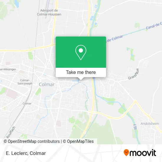
See E. Leclerc, Colmar, on the map
Public Transit to E. Leclerc in Colmar
Wondering how to get to E. Leclerc in Colmar? Moovit helps you find the best way to get to E. Leclerc with step-by-step directions from the nearest public transit station.
Moovit provides free maps and live directions to help you navigate through your city. View schedules, routes, timetables, and find out how long does it take to get to E. Leclerc in real time.
Looking for the nearest stop or station to E. Leclerc? Check out this list of stops closest to your destination: Colmar - Orangerie; Billing.
Bus: A, E, B.
Want to see if there’s another route that gets you there at an earlier time? Moovit helps you find alternative routes or times. Get directions from and directions to E. Leclerc easily from the Moovit App or Website.
We make riding to E. Leclerc easy, which is why over 1.5 million users, including users in Colmar, trust Moovit as the best app for public transit. You don’t need to download an individual bus app or train app, Moovit is your all-in-one transit app that helps you find the best bus time or train time available.
For information on prices of bus, costs and ride fares to E. Leclerc, please check the Moovit app.
Use the app to navigate to popular places including to the airport, hospital, stadium, grocery store, mall, coffee shop, school, college, and university.
E. Leclerc Address: Chemin du Dornig street in Colmar
- Le Dantec Florian,
- Les Salons de l'Orangerie,
- Port De Plaisance De Colmar,
- Cab Orangerie,
- Centre Commercial E. Leclerc,
- Jardins Familiaux Bleich,
- Aire De Stationnement - Port De Plaisance De Colmar,
- Trace,
- E.Leclerc Jardi de Horbourg-Whir,
- Zone Industrielle Est,
- Voyages Lucien Kunegel,
- Kunegel Colmar,
- Vialis,
- Aire De Service Du Camping De L'Ill,
- Camping de l'Ill - Colmar,
- IUT de Colmar / Campus du Grillenbreit,
- Université De Haute-Alsace - Campus Grillenbreit,
- Musée des Usines Municipales,
- Sonntag Albert,
- Les Bonnes Gens
Places Near E. Leclerc (Colmar)
- Hyper U, Colmar,
- Hôpital Albert Schweitzer, Colmar,
- Parc des Expositions Colmar, Colmar,
- Marché de Noël de Colmar, Colmar,
- Centre Commercial Colmar CORA Houssen, Houssen,
- Lycée Blaise Pascal, Colmar,
- Lycée Camille Sée, Colmar,
- Hopital Schweitzer, Colmar,
- E. Leclerc, Wintzenheim,
- Base Nautique Colmar-Houssen, Colmar,
- Hôpital Pasteur, Colmar,
- Decathlon Colmar, Colmar,
- Riquewihr,
- Liebherr, Colmar,
- Nauroto, Colmar,
- IUT de Colmar / Campus du Grillenbreit, Colmar,
- Camping de l'Ill - Colmar, Horbourg-Wihr,
- Centre Commercial E. Leclerc, Colmar,
- Arrêt Flixbus, Colmar,
- E. Leclerc, Colmar
How to get to popular places in Colmar with public transit
Get around Colmar by public transit!
Traveling around Colmar has never been so easy. See step by step directions as you travel to any attraction, street or major public transit station. View bus and train schedules, arrival times, service alerts and detailed routes on a map, so you know exactly how to get to anywhere in Colmar.
When traveling to any destination around Colmar use Moovit's Live Directions with Get Off Notifications to know exactly where and how far to walk, how long to wait for your line, and how many stops are left. Moovit will alert you when it's time to get off — no need to constantly re-check whether yours is the next stop.
Wondering how to use public transit in Colmar or how to pay for public transit in Colmar? Moovit public transit app can help you navigate your way with public transit easily, and at minimum cost. It includes public transit fees, ticket prices, and costs. Looking for a map of Colmar public transit lines? Moovit public transit app shows all public transit maps in Colmar with all bus routes and stops on an interactive map.
Colmar has 1 transit type(s), including: bus, operated by several transit agencies, including TRACE