Electric-Main stop - Saturday schedule
| Line | Direction | Time |
|---|---|---|
| 46 | The Village at Orange | 5:35 AM |
| 46 | The Village at Orange | 6:32 AM |
| 46 | Electric and Main | 7:01 AM |
| 46 | The Village at Orange | 7:32 AM |
| 46 | Electric and Main | 8:19 AM |
| 46 | The Village at Orange | 8:30 AM |
| 46 | Electric and Main | 9:20 AM |
| 46 | The Village at Orange | 9:28 AM |
| 46 | Electric and Main | 10:17 AM |
| 46 | The Village at Orange | 10:27 AM |
| 46 | Electric and Main | 11:05 AM |
| 46 | The Village at Orange | 11:27 AM |
| 46 | Electric and Main | 12:00 PM |
| 46 | The Village at Orange | 12:27 PM |
| 46 | Electric and Main | 1:00 PM |
| 46 | The Village at Orange | 1:27 PM |
| 46 | Electric and Main | 1:57 PM |
| 46 | The Village at Orange | 2:26 PM |
| 46 | Electric and Main | 2:57 PM |
| 46 | The Village at Orange | 3:26 PM |
| 46 | Electric and Main | 4:09 PM |
| 46 | The Village at Orange | 4:27 PM |
| 46 | Electric and Main | 5:16 PM |
| 46 | The Village at Orange | 5:28 PM |
| 46 | Electric and Main | 6:16 PM |
Directions to Electric-Main stop (Seal Beach) with public transit
The following transit lines have routes that pass near Electric-Main
 Bus: 1, 171, 46.
How to get to Electric-Main stop by bus?
Click on the bus route to see step by step directions with maps, line arrival times and updated time schedules.
Bus stops near Electric-Main stop in Seal Beach
- Electric & Main NW, 1 min walk,
- Pacific Coast-Bolsa, 3 min walk,
- Main-Pacific Coast, 4 min walk,
Bus lines to Electric-Main stop in Seal Beach
- 171, 171 PCH to Seal Beach,
- 1, Long Beach - Cal State Long Beach,
- 46, Electric and Main,
What are the closest stations to Electric-Main?
The closest stations to Electric-Main are:
- Electric & Main NW is 14 yards away, 1 min walk.
- Pacific Coast-Bolsa is 220 yards away, 3 min walk.
- Main-Pacific Coast is 255 yards away, 4 min walk.
Which bus lines stop near Electric-Main?
These bus lines stop near Electric-Main: 1, 171, 46.
What’s the nearest bus station to Electric-Main in Seal Beach?
The nearest bus station to Electric-Main in Seal Beach is Electric & Main NW. It’s a 1 min walk away.
What time is the first bus to Electric-Main in Seal Beach?
The 1 is the first bus that goes to Electric-Main in Seal Beach. It stops nearby at 5:03 AM.
What time is the last bus to Electric-Main in Seal Beach?
The 1 is the last bus that goes to Electric-Main in Seal Beach. It stops nearby at 10:57 PM.
Electric-Main station
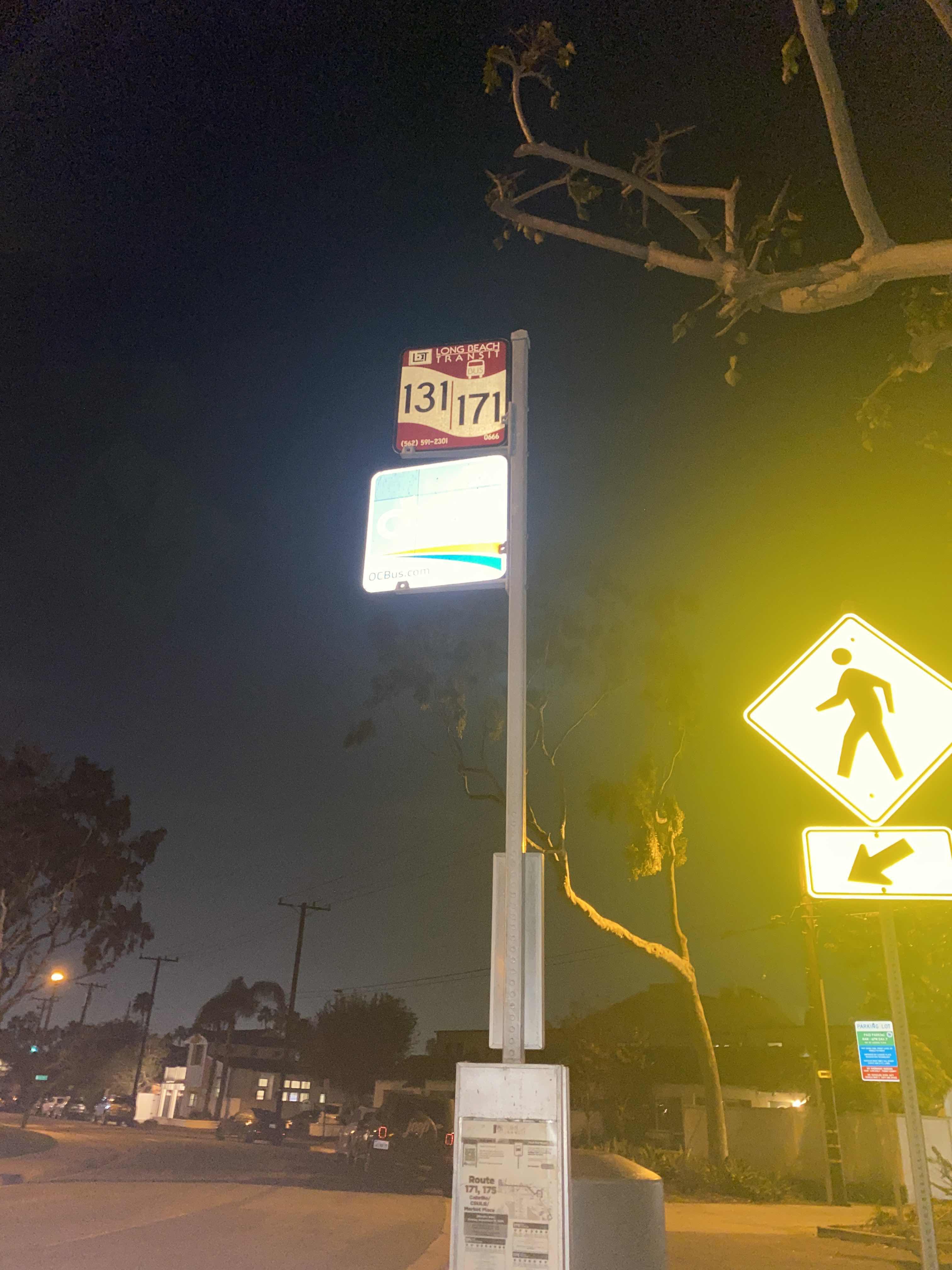 Taken by Anonymous
See Electric-Main stop, Seal Beach, on the map
Public transit to Electric-Main stop (ID: 6830) in Seal Beach
Looking for directions to Electric-Main in Seal Beach, United States?
Download the Moovit App to find the current schedule and step-by-step directions for Bus routes that pass through Electric-Main.
Looking for the nearest stops closest to Electric-Main ? Check out this list of closest stops to your destination: Electric & Main NW; Pacific Coast-Bolsa; Main-Pacific Coast.
Bus: 1, 171, 46.
We make riding on public transit to Electric-Main easy, which is why over 1.5 million users, including users in Seal Beach trust Moovit as the best app for public transit.
Use the app to navigate to popular places including to the airport, hospital, stadium, grocery store, mall, coffee shop, school, college, and university.
Electric-Main stop’s code is 6830
The first line to this stop is 46, at 5:35 AM, and the last line is 46 at 10:55 PM.
Electric Avenue, Seal Beach, CA, USA
This stop serves OCTA’s lines
- Electric & Main NW,
- Pacific Coast-Bolsa,
- Main-Pacific Coast
Bus stops near Electric-Main stop
- Highland Park Station,
- Mona Blvd & Industry Way (Northbound),
- Valley / San Pablo,
- 6th / Broadway,
- Santa Monica / Wilton,
- Montebello Metrolink Station,
- Wilshire & LA Cienaga,
- Jefferson Blvd/Mesmer Ave,
- Figueroa & 12th St (Crypto.Com Arena),
- Main & Daly St.,
- Sun Valley Metrolink Station,
- Florence / Crenshaw,
- Telegraph / Slauson,
- Los Angeles St & 9th St,
- Barton @ California,
- Orange Grove Blvd & Marengo Ave,
- Magnolia / Hollywood Way,
- 17th St / SMC,
- Beaudry / 4th,
- Pacific Coast Hwy & Normandie Ave (Westbound)
Popular public transit stations in Seal Beach
Get around Seal Beach by public transit!
Traveling around Seal Beach has never been so easy. See step by step directions as you travel to any attraction, street or major public transit station. View bus and train schedules, arrival times, service alerts and detailed routes on a map, so you know exactly how to get to anywhere in Seal Beach.
When traveling to any destination around Seal Beach use Moovit's Live Directions with Get Off Notifications to know exactly where and how far to walk, how long to wait for your line, and how many stops are left. Moovit will alert you when it's time to get off — no need to constantly re-check whether yours is the next stop.
Wondering how to use public transit in Seal Beach or how to pay for public transit in Seal Beach? Moovit public transit app can help you navigate your way with public transit easily, and at minimum cost. It includes public transit fees, ticket prices, and costs. Looking for a map of Seal Beach public transit lines? Moovit public transit app shows all public transit maps in Seal Beach with all Bus, Train, Subway, Ferry and Funicular routes and stops on an interactive map.
Los Angeles has 5 transit type(s), including: Bus, Train, Subway, Ferry and Funicular, operated by several transit agencies, including Metro, Alhambra Community Transit, Arcadia Transit, ART, Artesia Transit, AVTA, Baldwin Park Transit, Beach Cities Transit, Beaumont Transit, Bell Gardens Town Trolley, Bellflower Bus, Big Blue Bus, Burbank Bus, Calabasas Trolley and Camarillo Area Transit