How to get to Expressit by bus?
Click on the bus route to see step by step directions with maps, line arrival times and updated time schedules.
From Regent Theatre, Arlington
92 minFrom MBTA Alewife Station, Cambridge
69 minFrom Brighton, Boston
61 minFrom Hanscom AFB, Hanscom Afb
64 minFrom Mount Auburn Hospital, Cambridge
73 minFrom Boston Marriott Newton, Newton
71 minFrom Newton, MA, Newton
103 minFrom Newton-Wellesley Hospital, Newton
74 minFrom New Balance, Boston
69 minFrom Spaulding Rehabilitation Center, Boston
69 min
Bus stop near Expressit in Waltham
- Trapelo Rd @ Berkley St, 5 min walk,VIEW
Train station near Expressit in Waltham
- Kendal Green, 48 min walk,VIEW
Bus lines to Expressit in Waltham
- 61, North Waltham,VIEW
What are the closest stations to Expressit?
The closest stations to Expressit are:
- Trapelo Rd @ Berkley St is 349 yards away, 5 min walk.
- Kendal Green is 4087 yards away, 48 min walk.
Which bus lines stop near Expressit?
These bus lines stop near Expressit: 61, 76.
What’s the nearest bus station to Expressit in Waltham?
The nearest bus station to Expressit in Waltham is Trapelo Rd @ Berkley St. It’s a 5 min walk away.
What time is the first train to Expressit in Waltham?
The FITCHBURG is the first train that goes to Expressit in Waltham. It stops nearby at 5:27 AM.
What time is the last train to Expressit in Waltham?
The FITCHBURG is the last train that goes to Expressit in Waltham. It stops nearby at 12:19 AM.
What time is the first bus to Expressit in Waltham?
The 61 is the first bus that goes to Expressit in Waltham. It stops nearby at 6:05 AM.
What time is the last bus to Expressit in Waltham?
The 61 is the last bus that goes to Expressit in Waltham. It stops nearby at 8:21 PM.
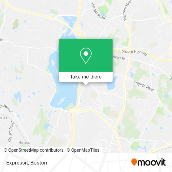
See Expressit, Waltham, on the map
Public Transit to Expressit in Waltham
Wondering how to get to Expressit in Waltham? Moovit helps you find the best way to get to Expressit with step-by-step directions from the nearest public transit station.
Moovit provides free maps and live directions to help you navigate through your city. View schedules, routes, timetables, and find out how long does it take to get to Expressit in real time.
Looking for the nearest stop or station to Expressit? Check out this list of stops closest to your destination: Trapelo Rd @ Berkley St; Kendal Green.
Bus: 61, 76.Train: FITCHBURG.
Want to see if there’s another route that gets you there at an earlier time? Moovit helps you find alternative routes or times. Get directions from and directions to Expressit easily from the Moovit App or Website.
We make riding to Expressit easy, which is why over 1.7 million users, including users in Waltham, trust Moovit as the best app for public transit. You don’t need to download an individual bus app or train app, Moovit is your all-in-one transit app that helps you find the best bus time or train time available.
For information on prices of bus, train and subway, costs and ride fares to Expressit, please check the Moovit app.
Use the app to navigate to popular places including to the airport, hospital, stadium, grocery store, mall, coffee shop, school, college, and university.
Expressit Address: 303 Wyman St Ste 300 street in Waltham
- Kepha Partners,
- McKinsey Advanced Analytics Lab,
- Xar International,
- Forefront,
- Mckinsey & Company,
- HBM Cafe 401,
- National Grid,
- Pegasystems,
- David Smith - Tiaa Wealth Management Advisor,
- CSL Seqirus,
- Entrance I-95 N,
- Fisher Windows,
- Dassault Systèmes,
- LPB Construction,
- Bourgeois, Laurie,
- Metro Site and Utility,
- Ghamparian & Associates,
- Advantage Technical Resourcing,
- Carson J. Byrne, Psychologist,
- Sangeeta Banerjee, MD
Places Near Expressit (Waltham)
- North End, Boston,
- Wilbur Theatre, Boston,
- Boston Convention & Exhibition Center, Boston,
- Isabella Stewart Gardner Museum, Boston,
- Quincy Market, Boston,
- Leader Bank Pavilion (Leader Bank Pavillion), Boston,
- Boston Common, Boston,
- Boston Medical Center, Boston,
- Boston Children's Hospital, Boston,
- Museum Of Science, Boston,
- Cheers, Boston,
- Mgm Music Hall, Boston,
- House Of Blues, Boston,
- Prudential Center, Boston,
- Castle Island, Boston,
- Wang Theater, Boston,
- Faneuil Hall, Boston,
- Td Garden, Boston,
- Seaport District, Boston,
- Massachusetts General Hospital, Boston
How to get to popular places in Boston with public transit
Get around Waltham by public transit!
Traveling around Waltham has never been so easy. See step by step directions as you travel to any attraction, street or major public transit station. View bus and train schedules, arrival times, service alerts and detailed routes on a map, so you know exactly how to get to anywhere in Waltham.
When traveling to any destination around Waltham use Moovit's Live Directions with Get Off Notifications to know exactly where and how far to walk, how long to wait for your line, and how many stops are left. Moovit will alert you when it's time to get off — no need to constantly re-check whether yours is the next stop.
Wondering how to use public transit in Waltham or how to pay for public transit in Waltham? Moovit public transit app can help you navigate your way with public transit easily, and at minimum cost. It includes public transit fees, ticket prices, and costs. Looking for a map of Waltham public transit lines? Moovit public transit app shows all public transit maps in Waltham with all Bus, Train, Subway and Ferry routes and stops on an interactive map.
Boston has 4 transit type(s), including: Bus, Train, Subway and Ferry, operated by several transit agencies, including MBTA, Southeastern Regional Transit Authority, MetroWest Regional Transit Authority, Rhode Island Public Transit Authority, WRTA, Lowell Regional Transit Authority, Merrimack Valley Transit, Montachusett Regional Transit Authority, Cape Cod Regional Transit Authority, Brockton Area Transit Authority, Martha's Vineyard Transit Authority, the WAVE - Nantucket Regional Transit Authority, GATRA, Cape Ann Transportation Authority and Massport