How to get to F2m by bus?
Click on the bus route to see step by step directions with maps, line arrival times and updated time schedules.
From Family Village, Ruaudin
64 minFrom Route de Brette les Pins, Ruaudin
56 minFrom 72470, Champagné
42 minFrom Champagné, Champagné
50 minFrom Stade de la Pincenardière, Mulsanne
64 minFrom Arrêt Bourdonnière [8,20], Saint-Saturnin
32 minFrom Teloché, Mulsanne
56 minFrom Hotel B&B Le Mans Nord 2, Saint-Saturnin
35 minFrom École Maternelle Pauline Kergomard, Champagné
45 minFrom But, Mulsanne
57 min
Bus stops near F2m in Le Mans
Bus lines to F2m in Le Mans
- 16, Lycee Sud,VIEW
- 4, Bellevue,VIEW
- 14, Parc Manceau,VIEW
- 162, Ste-Catherine,VIEW
- 6, St Martin,VIEW
- 23, Yvre-L'Eveque,VIEW
- 25, Champagne,VIEW
- 31, Ehpad,VIEW
- 25EX, La Baronniere,VIEW
- M, La Mancelle,VIEW
- T1, Ant-Circuit 24h,VIEW
- 7, Auchan - Eperon,VIEW
- 17, Eperon,VIEW
- 20, Lafayette,VIEW
- 11, Closerie,VIEW
- 12, Zamenhof,VIEW
- 164, Aller,VIEW
- 13, H.Ville Arnage,VIEW
- 30, Les Croisettes,VIEW
- 32, Stade Asnille,VIEW
What are the closest stations to F2m?
The closest stations to F2m are:
- La Fabrique is 379 meters away, 6 min walk.
- Les Halles is 382 meters away, 6 min walk.
- Courboulay is 467 meters away, 7 min walk.
- République is 528 meters away, 8 min walk.
- Éperon is 615 meters away, 9 min walk.
- Pont Perrin is 617 meters away, 9 min walk.
- Colonel Raynal is 630 meters away, 9 min walk.
- Gares is 686 meters away, 10 min walk.
- Collège Ambroise Paré is 811 meters away, 11 min walk.
Which bus lines stop near F2m?
These bus lines stop near F2m: 111, 13, 20, 25EX, 7.
Which light rail line stops near F2m?
T1 (Universite)
What’s the nearest bus station to F2m in Le Mans?
The nearest bus stations to F2m in Le Mans are La Fabrique and Les Halles. The closest one is a 6 min walk away.
What time is the first light rail to F2m in Le Mans?
The T2 is the first light rail that goes to F2m in Le Mans. It stops nearby at 5:10 AM.
What time is the last light rail to F2m in Le Mans?
The T1 is the last light rail that goes to F2m in Le Mans. It stops nearby at 1:12 AM.
What time is the first bus to F2m in Le Mans?
The T3 is the first bus that goes to F2m in Le Mans. It stops nearby at 5:05 AM.
What time is the last bus to F2m in Le Mans?
The T3 is the last bus that goes to F2m in Le Mans. It stops nearby at 12:49 AM.
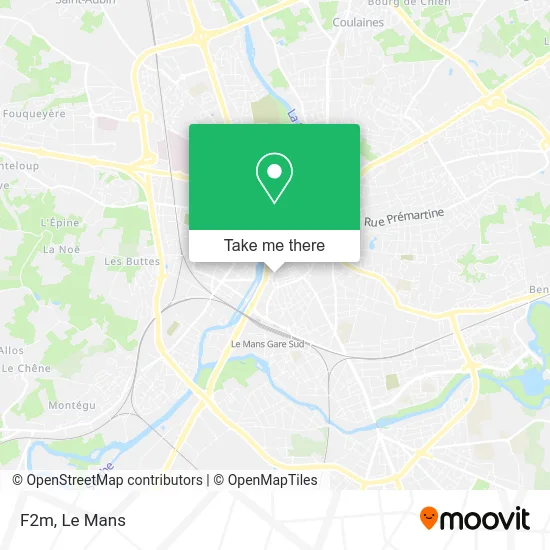
See F2m, Le Mans, on the map
Public Transit to F2m in Le Mans
Wondering how to get to F2m in Le Mans? Moovit helps you find the best way to get to F2m with step-by-step directions from the nearest public transit station.
Moovit provides free maps and live directions to help you navigate through your city. View schedules, routes, timetables, and find out how long does it take to get to F2m in real time.
Looking for the nearest stop or station to F2m? Check out this list of stops closest to your destination: La Fabrique; Les Halles; Courboulay; République; Éperon; Pont Perrin; Colonel Raynal; Gares; Collège Ambroise Paré.
Bus: 111, 13, 20, 25EX, 7, 16, 4, 14, 162, 6, 23, 25, 31, 17, 11, 12.Light Rail: T1.
Want to see if there’s another route that gets you there at an earlier time? Moovit helps you find alternative routes or times. Get directions from and directions to F2m easily from the Moovit App or Website.
We make riding to F2m easy, which is why over 1.5 million users, including users in Le Mans, trust Moovit as the best app for public transit. You don’t need to download an individual bus app or train app, Moovit is your all-in-one transit app that helps you find the best bus time or train time available.
For information on prices of bus and light rail, costs and ride fares to F2m, please check the Moovit app.
Use the app to navigate to popular places including to the airport, hospital, stadium, grocery store, mall, coffee shop, school, college, and university.
F2m Address: Rue d'Arcole 72000 Le Mans street in Le Mans
- Nico Tattoo,
- École de Danse Aurore Fondain,
- Moulin Moulin Perrichet Valerie,
- Ecoles Maternelles,
- Brasserie Snack Bar d'Ambiance,
- Les Goulus,
- Carrefour City,
- Parking De La Place D'Alger,
- La Perche Comedy Club,
- Palais Des Congrès Et De La Culture,
- Suzy Cook,
- Restaurant le Gaia le Mans,
- Le Congrès,
- Apes72 Association Pour Promotion d'Emploi Sarthe,
- Médiathèque Louis Aragon,
- Parking Palais des Congrès,
- Thomas Sabine,
- Médiathèque Salle des Concerts,
- Lockdown,
- Le 212
Places Near F2m (Le Mans)
- Camp du 2e RIMa, Champagné,
- Avenue Bollée, Le Mans,
- Hôpital, Le Mans,
- Gare SNCF du Mans, Le Mans,
- Saint-Saturnin, Saint-Saturnin,
- Auchan le Mans, La Chapelle-Saint-Aubin,
- Parc Des Expositions, Le Mans,
- Clinique Du Pré, Le Mans,
- Circuit des 24 Heures du Mans, Le Mans,
- Maison D'Arrêt Le Mans - Les Croisettes, Coulaines,
- E.Leclerc, Le Mans,
- Family Village, Ruaudin,
- Centre Hospitalier Du Mans, Le Mans,
- Coulaines, Coulaines,
- Place des Jacobins (le Mans), Le Mans,
- Université, Le Mans,
- La Chapelle-Saint-Aubin, La Chapelle-Saint-Aubin,
- Pôle Santé Sud-Elsan, Le Mans,
- Changé, Changé,
- Clinique Pôle Santé Sud, Le Mans
How to get to popular places in Le Mans with public transit
Get around Le Mans by public transit!
Traveling around Le Mans has never been so easy. See step by step directions as you travel to any attraction, street or major public transit station. View bus and train schedules, arrival times, service alerts and detailed routes on a map, so you know exactly how to get to anywhere in Le Mans.
When traveling to any destination around Le Mans use Moovit's Live Directions with Get Off Notifications to know exactly where and how far to walk, how long to wait for your line, and how many stops are left. Moovit will alert you when it's time to get off — no need to constantly re-check whether yours is the next stop.
Wondering how to use public transit in Le Mans or how to pay for public transit in Le Mans? Moovit public transit app can help you navigate your way with public transit easily, and at minimum cost. It includes public transit fees, ticket prices, and costs. Looking for a map of Le Mans public transit lines? Moovit public transit app shows all public transit maps in Le Mans with all Bus and Light Rail routes and stops on an interactive map.
Le Mans has 2 transit type(s), including: Bus and Light Rail, operated by several transit agencies, including SETRAM