Directions to F45 (Weymouth Town) with public transportation
The following transit lines have routes that pass near F45
 Bus: 220, 222.
- Train: GREENBUSH.
- Ferry: HEWITT'S COVE FERRY, BUMPKIN ISLAND FERRY, GEORGES ISLAND FERRY, PEDDOCKS ISLAND FERRY, HINGHAM FERRY.
How to get to F45 by bus?
Click on the bus route to see step by step directions with maps, line arrival times and updated time schedules.
From Ramada Boston, Boston
77 minFrom Milton Academy, Milton
67 minFrom Quincy, MA, Quincy
20 minFrom Ramada by Wyndham Boston, Boston
77 minFrom South Shore Hospital- Pratt 5, Weymouth Town
88 minFrom Boston Scientific, Quincy
83 minFrom Encompass Health Rehabilitation Hospital of Braintree, Braintree Town
78 minFrom crown Colony Shuttle, Quincy
64 min
How to get to F45 by train?
Click on the train route to see step by step directions with maps, line arrival times and updated time schedules.
Bus stops near F45 in Weymouth Town
Ferry stations near F45 in Weymouth Town
Train station near F45 in Weymouth Town
- East Weymouth, 44 min walk,VIEW
What are the closest stations to F45?
The closest stations to F45 are:
- North St Opp Curtis St is 103 yards away, 2 min walk.
- Bridge St @ Neck St is 266 yards away, 4 min walk.
- Grape Island is 1098 yards away, 20 min walk.
- Hewitt's Cove is 3189 yards away, 38 min walk.
- Hingham is 3200 yards away, 38 min walk.
- East Weymouth is 3719 yards away, 44 min walk.
Which bus line stops near F45?
220 (Hingham Depot Via Shipyard)
Which train line stops near F45?
GREENBUSH (#1061 | Greenbush)
What’s the nearest bus station to F45 in Weymouth Town?
The nearest bus station to F45 in Weymouth Town is North St Opp Curtis St. It’s a 2 min walk away.
What’s the nearest ferry station to F45 in Weymouth Town?
The nearest ferry station to F45 in Weymouth Town is Grape Island. It’s a 20 min walk away.
What time is the first train to F45 in Weymouth Town?
The GREENBUSH is the first train that goes to F45 in Weymouth Town. It stops nearby at 5:37 AM.
What time is the last train to F45 in Weymouth Town?
The GREENBUSH is the last train that goes to F45 in Weymouth Town. It stops nearby at 12:22 AM.
What time is the first bus to F45 in Weymouth Town?
The 222 is the first bus that goes to F45 in Weymouth Town. It stops nearby at 5:04 AM.
What time is the last bus to F45 in Weymouth Town?
The 220 is the last bus that goes to F45 in Weymouth Town. It stops nearby at 1:42 AM.
What time is the first ferry to F45 in Weymouth Town?
The HINGHAM/HULL FERRY is the first ferry that goes to F45 in Weymouth Town. It stops nearby at 5:40 AM.
What time is the last ferry to F45 in Weymouth Town?
The HINGHAM/HULL FERRY is the last ferry that goes to F45 in Weymouth Town. It stops nearby at 10:50 PM.
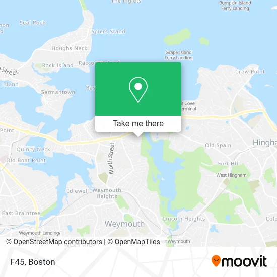
See F45, Weymouth Town, on the map
Public Transit to F45 in Weymouth Town
Wondering how to get to F45 in Weymouth Town? Moovit helps you find the best way to get to F45 with step-by-step directions from the nearest public transit station.
Moovit provides free maps and live directions to help you navigate through your city. View schedules, routes, timetables, and find out how long does it take to get to F45 in real time.
Looking for the nearest stop or station to F45? Check out this list of stops closest to your destination: North St Opp Curtis St; Bridge St @ Neck St; Grape Island; Hewitt's Cove; Hingham; East Weymouth.
Bus: 220, 222.Train: GREENBUSH.Ferry: HEWITT'S COVE FERRY, BUMPKIN ISLAND FERRY, GEORGES ISLAND FERRY, PEDDOCKS ISLAND FERRY, HINGHAM FERRY, HINGHAM/HULL FERRY.
Want to see if there’s another route that gets you there at an earlier time? Moovit helps you find alternative routes or times. Get directions from and directions to F45 easily from the Moovit App or Website.
We make riding to F45 easy, which is why over 1.7 million users, including users in Weymouth Town, trust Moovit as the best app for public transit. You don’t need to download an individual bus app or train app, Moovit is your all-in-one transit app that helps you find the best bus time or train time available.
For information on prices of bus, subway and train, costs and ride fares to F45, please check the Moovit app.
Use the app to navigate to popular places including to the airport, hospital, stadium, grocery store, mall, coffee shop, school, college, and university.
F45 Address: 795 Bridge St street in Weymouth Town
- Minute Key,
- Roaring Fork Marketing,
- Party City,
- Amazon Locker-Zef,
- Atm Cvs,
- North Weymouth Carpet Cleaning,
- North Weymouth, MA,
- Adt Security Services,
- Martin Iser, MD,
- GOODYEAR,
- The Kibby Property,
- Dunkin',
- Express Garage Door Service,
- Back River Bridge,
- Little Flower Strategies,
- Jack Conway, Realtor-Weymouth,
- Debi Hauer Homes,
- Kristen Wright Design,
- Webb Park,
- Douglas Elliman Real Estate
Places Near F45 (Weymouth Town)
- Prudential Center, Boston,
- Wilbur Theatre, Boston,
- Mgm Music Hall, Boston,
- North End, Boston,
- Td Garden, Boston,
- Boston Children's Hospital, Boston,
- Seaport District, Boston,
- Cheers, Boston,
- Castle Island, Boston,
- Boston Convention & Exhibition Center, Boston,
- Massachusetts General Hospital, Boston,
- House Of Blues, Boston,
- Isabella Stewart Gardner Museum, Boston,
- Boston Common, Boston,
- Wang Theater, Boston,
- Boston Medical Center, Boston,
- Leader Bank Pavilion (Leader Bank Pavillion), Boston,
- Faneuil Hall, Boston,
- Museum Of Science, Boston,
- Quincy Market, Boston
How to get to popular places in Boston with public transit
Get around Weymouth Town by public transit!
Traveling around Weymouth Town has never been so easy. See step by step directions as you travel to any attraction, street or major public transit station. View bus and train schedules, arrival times, service alerts and detailed routes on a map, so you know exactly how to get to anywhere in Weymouth Town.
When traveling to any destination around Weymouth Town use Moovit's Live Directions with Get Off Notifications to know exactly where and how far to walk, how long to wait for your line, and how many stops are left. Moovit will alert you when it's time to get off — no need to constantly re-check whether yours is the next stop.
Wondering how to use public transit in Weymouth Town or how to pay for public transit in Weymouth Town? Moovit public transit app can help you navigate your way with public transit easily, and at minimum cost. It includes public transit fees, ticket prices, and costs. Looking for a map of Weymouth Town public transit lines? Moovit public transit app shows all public transit maps in Weymouth Town with all Bus, Train, Subway and Ferry routes and stops on an interactive map.
Boston has 4 transit type(s), including: Bus, Train, Subway and Ferry, operated by several transit agencies, including MBTA, Southeastern Regional Transit Authority, MetroWest Regional Transit Authority, Rhode Island Public Transit Authority, WRTA, Lowell Regional Transit Authority, Merrimack Valley Transit, Montachusett Regional Transit Authority, Cape Cod Regional Transit Authority, Brockton Area Transit Authority, Martha's Vineyard Transit Authority, the WAVE - Nantucket Regional Transit Authority, GATRA, Cape Ann Transportation Authority and Massport