Directions to Family Chiropractic (Boston) with public transportation
The following transit lines have routes that pass near Family Chiropractic
 Bus: 5.
- Train: FRAMINGHAM/WORCESTER.
How to get to Family Chiropractic by bus?
Click on the bus route to see step by step directions with maps, line arrival times and updated time schedules.
From Saint Vincent Hospital at Worcester Medical Center, Worcester
59 minFrom Quinsigamond Community College, Worcester
73 minFrom St Vincent Hospital TH Medical, Worcester
59 minFrom South High Community School, Worcester
101 minFrom Umass Memorial Medical Center, Worcester
69 minFrom Worcester, MA, Worcester
58 minFrom Walmart Supercenter, Worcester
83 min
Train station near Family Chiropractic in Boston
- Grafton, 58 min walk,VIEW
What are the closest stations to Family Chiropractic?
The closest stations to Family Chiropractic are:
- Grafton is 4954 yards away, 58 min walk.
Which bus line stops near Family Chiropractic?
5 (Central Hub→Broad Meadow Brook Audobon)
What time is the first train to Family Chiropractic in Boston?
The FRAMINGHAM/WORCESTER is the first train that goes to Family Chiropractic in Boston. It stops nearby at 4:27 AM.
What time is the last train to Family Chiropractic in Boston?
The FRAMINGHAM/WORCESTER is the last train that goes to Family Chiropractic in Boston. It stops nearby at 1:09 AM.
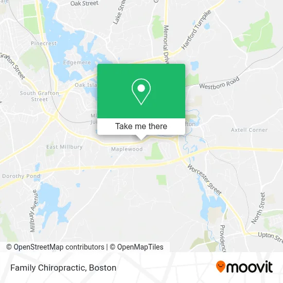
See Family Chiropractic, Boston, on the map
Public Transit to Family Chiropractic in Boston
Wondering how to get to Family Chiropractic in Boston? Moovit helps you find the best way to get to Family Chiropractic with step-by-step directions from the nearest public transit station.
Moovit provides free maps and live directions to help you navigate through your city. View schedules, routes, timetables, and find out how long does it take to get to Family Chiropractic in real time.
Looking for the nearest stop or station to Family Chiropractic? Check out this list of stops closest to your destination: Grafton.
Bus: 5.Train: FRAMINGHAM/WORCESTER.
Want to see if there’s another route that gets you there at an earlier time? Moovit helps you find alternative routes or times. Get directions from and directions to Family Chiropractic easily from the Moovit App or Website.
We make riding to Family Chiropractic easy, which is why over 1.7 million users, including users in Boston, trust Moovit as the best app for public transit. You don’t need to download an individual bus app or train app, Moovit is your all-in-one transit app that helps you find the best bus time or train time available.
For information on prices of bus and train, costs and ride fares to Family Chiropractic, please check the Moovit app.
Use the app to navigate to popular places including to the airport, hospital, stadium, grocery store, mall, coffee shop, school, college, and university.
Family Chiropractic Address: 210 Worcester St street in Boston
- North Grafton,
- Demoleora70-12,
- Maclellan Concrete Co,
- Ekblaw Landing,
- STARBUCKS,
- Market Basket,
- Blink Charging,
- Keller Contracting,
- Graveson Transmission & Auto Repair,
- Central Massachusetts Regional Library System,
- Coinstar - Bitcoin ATM,
- Clinton Savings Bank,
- AA Transportation Company,
- Edgemere Barber Shop,
- David A Padavano,
- Poe Holistic Health and Wellness,
- Eco Spray Foam Insulation,
- Coinstar,
- ANYTIME FITNESS,
- WESTERN UNION
Places Near Family Chiropractic (Boston)
- Isabella Stewart Gardner Museum, Boston,
- Cheers, Boston,
- Seaport District, Boston,
- House Of Blues, Boston,
- Boston Common, Boston,
- Wilbur Theatre, Boston,
- Leader Bank Pavilion (Leader Bank Pavillion), Boston,
- Faneuil Hall, Boston,
- Boston Medical Center, Boston,
- Quincy Market, Boston,
- Boston Children's Hospital, Boston,
- Massachusetts General Hospital, Boston,
- North End, Boston,
- Boston Convention & Exhibition Center, Boston,
- Museum Of Science, Boston,
- Mgm Music Hall, Boston,
- Wang Theater, Boston,
- Castle Island, Boston,
- Prudential Center, Boston,
- Td Garden, Boston
How to get to popular places in Boston with public transit
Get around Boston by public transit!
Traveling around Boston has never been so easy. See step by step directions as you travel to any attraction, street or major public transit station. View bus and train schedules, arrival times, service alerts and detailed routes on a map, so you know exactly how to get to anywhere in Boston.
When traveling to any destination around Boston use Moovit's Live Directions with Get Off Notifications to know exactly where and how far to walk, how long to wait for your line, and how many stops are left. Moovit will alert you when it's time to get off — no need to constantly re-check whether yours is the next stop.
Wondering how to use public transit in Boston or how to pay for public transit in Boston? Moovit public transit app can help you navigate your way with public transit easily, and at minimum cost. It includes public transit fees, ticket prices, and costs. Looking for a map of Boston public transit lines? Moovit public transit app shows all public transit maps in Boston with all Bus, Train, Subway and Ferry routes and stops on an interactive map.
Boston has 4 transit type(s), including: Bus, Train, Subway and Ferry, operated by several transit agencies, including MBTA, Southeastern Regional Transit Authority, MetroWest Regional Transit Authority, Rhode Island Public Transit Authority, WRTA, Lowell Regional Transit Authority, Merrimack Valley Transit, Montachusett Regional Transit Authority, Cape Cod Regional Transit Authority, Brockton Area Transit Authority, Martha's Vineyard Transit Authority, the WAVE - Nantucket Regional Transit Authority, GATRA, Cape Ann Transportation Authority and Massport