How to get to Famous Footwear by bus?
Click on the bus route to see step by step directions with maps, line arrival times and updated time schedules.
From Charlton Memorial Hospital, Fall River
91 minFrom Amazon Fulfillment Bos7, Fall River
102 minFrom Barahona Express, Providence
103 minFrom Bristol Community College, Fall River
73 minFrom B.M.C. Durfee High School, Fall River
71 minFrom Lizzy Borden House, Fall River
52 minFrom Walmart Fall River Supercenter, Fall River
86 min
Bus stops near Famous Footwear in Boston
Bus lines to Famous Footwear in Boston
What are the closest stations to Famous Footwear?
The closest stations to Famous Footwear are:
- Newport Towne Center (Stop & Shop) is 174 yards away, 3 min walk.
- Admiral Kalbfus Opposite Rolling Green is 297 yards away, 4 min walk.
- Newport Park & Ride is 656 yards away, 9 min walk.
Which bus lines stop near Famous Footwear?
These bus lines stop near Famous Footwear: 24L, 63, 64.
What’s the nearest bus station to Famous Footwear in Boston?
The nearest bus station to Famous Footwear in Boston is Newport Towne Center (Stop & Shop). It’s a 3 min walk away.
What time is the first bus to Famous Footwear in Boston?
The 14 is the first bus that goes to Famous Footwear in Boston. It stops nearby at 4:28 AM.
What time is the last bus to Famous Footwear in Boston?
The 14 is the last bus that goes to Famous Footwear in Boston. It stops nearby at 10:10 PM.
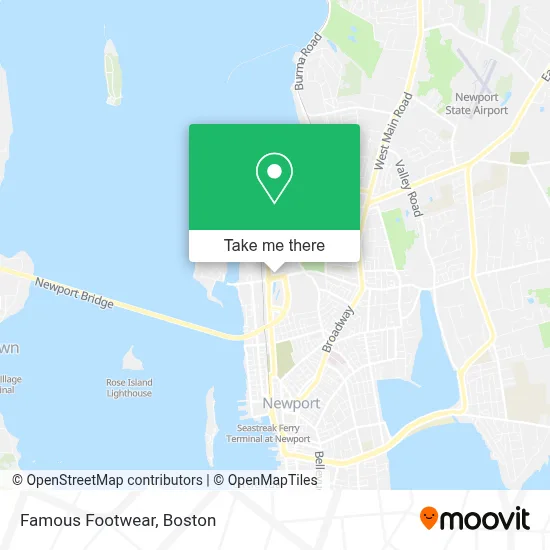
See Famous Footwear, Boston, on the map
Public Transit to Famous Footwear in Boston
Wondering how to get to Famous Footwear in Boston? Moovit helps you find the best way to get to Famous Footwear with step-by-step directions from the nearest public transit station.
Moovit provides free maps and live directions to help you navigate through your city. View schedules, routes, timetables, and find out how long does it take to get to Famous Footwear in real time.
Looking for the nearest stop or station to Famous Footwear? Check out this list of stops closest to your destination: Newport Towne Center (Stop & Shop); Admiral Kalbfus Opposite Rolling Green; Newport Park & Ride.
Bus: 24L, 63, 64, 68, 14.
Want to see if there’s another route that gets you there at an earlier time? Moovit helps you find alternative routes or times. Get directions from and directions to Famous Footwear easily from the Moovit App or Website.
We make riding to Famous Footwear easy, which is why over 1.7 million users, including users in Boston, trust Moovit as the best app for public transit. You don’t need to download an individual bus app or train app, Moovit is your all-in-one transit app that helps you find the best bus time or train time available.
For information on prices of bus and train, costs and ride fares to Famous Footwear, please check the Moovit app.
Use the app to navigate to popular places including to the airport, hospital, stadium, grocery store, mall, coffee shop, school, college, and university.
Famous Footwear Address: 199 Connell Hwy Unit 2 street in Boston
- Skechers Factory Outlet,
- Mattress Firm,
- Walmart Pharmacy,
- Ecoatm,
- At&T Store,
- Homegoods,
- Coinstar - Bitcoin ATM,
- Mattress Warehouse Of Newport,
- Carl's Collision Center,
- Tobacco & Accessories,
- Tropical Smoothie Cafe,
- Dots,
- Minute Key,
- Coinme Cash - Buy Bitcoin at the Register,
- L-Mour Nails,
- Connell Hwy,
- Kayla Lynn Salon,
- 138 Connell Hwy,
- Admiral Kalbfus at Admirals Gate,
- Verizon
Places Near Famous Footwear (Boston)
- Wang Theater, Boston,
- Isabella Stewart Gardner Museum, Boston,
- Td Garden, Boston,
- Faneuil Hall, Boston,
- Seaport District, Boston,
- Boston Medical Center, Boston,
- North End, Boston,
- Wilbur Theatre, Boston,
- Mgm Music Hall, Boston,
- Castle Island, Boston,
- Quincy Market, Boston,
- Boston Children's Hospital, Boston,
- House Of Blues, Boston,
- Prudential Center, Boston,
- Boston Common, Boston,
- Boston Convention & Exhibition Center, Boston,
- Leader Bank Pavilion (Leader Bank Pavillion), Boston,
- Massachusetts General Hospital, Boston,
- Cheers, Boston,
- Museum Of Science, Boston
How to get to popular places in Boston with public transit
Get around Boston by public transit!
Traveling around Boston has never been so easy. See step by step directions as you travel to any attraction, street or major public transit station. View bus and train schedules, arrival times, service alerts and detailed routes on a map, so you know exactly how to get to anywhere in Boston.
When traveling to any destination around Boston use Moovit's Live Directions with Get Off Notifications to know exactly where and how far to walk, how long to wait for your line, and how many stops are left. Moovit will alert you when it's time to get off — no need to constantly re-check whether yours is the next stop.
Wondering how to use public transit in Boston or how to pay for public transit in Boston? Moovit public transit app can help you navigate your way with public transit easily, and at minimum cost. It includes public transit fees, ticket prices, and costs. Looking for a map of Boston public transit lines? Moovit public transit app shows all public transit maps in Boston with all Bus, Train, Subway and Ferry routes and stops on an interactive map.
Boston has 4 transit type(s), including: Bus, Train, Subway and Ferry, operated by several transit agencies, including MBTA, Southeastern Regional Transit Authority, MetroWest Regional Transit Authority, Rhode Island Public Transit Authority, WRTA, Lowell Regional Transit Authority, Merrimack Valley Transit, Montachusett Regional Transit Authority, Cape Cod Regional Transit Authority, Brockton Area Transit Authority, Martha's Vineyard Transit Authority, the WAVE - Nantucket Regional Transit Authority, GATRA, Cape Ann Transportation Authority and Massport