Directions to Fedex (Gardner) with public transportation
The following transit lines have routes that pass near Fedex
How to get to Fedex by bus?
Click on the bus route to see step by step directions with maps, line arrival times and updated time schedules.
Bus stop near Fedex in Gardner
- Gardner City Hall (Rear)/Connors Street, 5 min walk,VIEW
Bus lines to Fedex in Gardner
- GARDNER ROUTE 1, Mart Maintenance Facility, Gardner,VIEW
- GARDNER ROUTE 2, Gardner City Hall (Rear)/Connors Street,VIEW
- GARDNER ROUTE 3, Henry Heywood Hospital, Gardner,VIEW
- GLINK: GARDNER TO WINCHENDON, Winchendon Town Hall (Pleasant Street),VIEW
- GLINK: GARDNER/ATHOL, Ymca, Athol,VIEW
- GLINK: WINCHENDON TO GARDNER, Mt. Wachusett Community College Lot B,VIEW
- WACHUSETT COMMUTER SHUTTLE, Mart Intermodal Transportation Center, Fitchburg,VIEW
What are the closest stations to Fedex?
The closest stations to Fedex are:
- Gardner City Hall (Rear)/Connors Street is 343 yards away, 5 min walk.
Which bus lines stop near Fedex?
These bus lines stop near Fedex: GLINK: GARDNER/ATHOL, WACHUSETT COMMUTER SHUTTLE.
What’s the nearest bus station to Fedex in Gardner?
The nearest bus station to Fedex in Gardner is Gardner City Hall (Rear)/Connors Street. It’s a 5 min walk away.
What time is the first bus to Fedex in Gardner?
The WACHUSETT COMMUTER SHUTTLE is the first bus that goes to Fedex in Gardner. It stops nearby at 5:40 AM.
What time is the last bus to Fedex in Gardner?
The WACHUSETT COMMUTER SHUTTLE is the last bus that goes to Fedex in Gardner. It stops nearby at 6:50 PM.
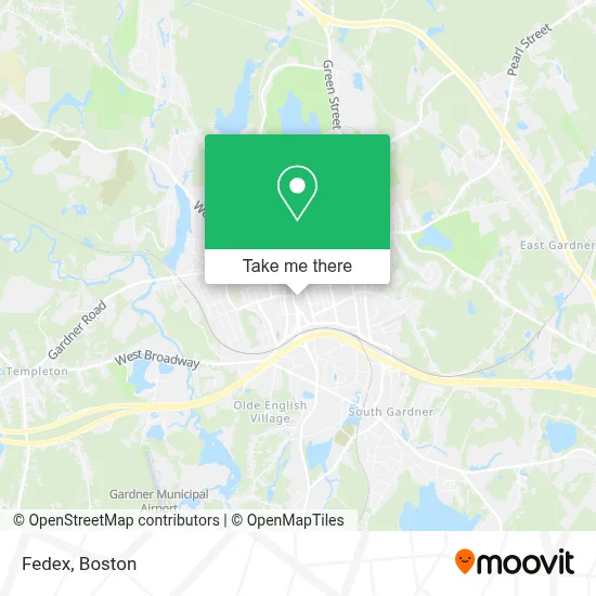
See Fedex, Gardner, on the map
Public Transit to Fedex in Gardner
Wondering how to get to Fedex in Gardner? Moovit helps you find the best way to get to Fedex with step-by-step directions from the nearest public transit station.
Moovit provides free maps and live directions to help you navigate through your city. View schedules, routes, timetables, and find out how long does it take to get to Fedex in real time.
Looking for the nearest stop or station to Fedex? Check out this list of stops closest to your destination: Gardner City Hall (Rear)/Connors Street.
Bus: GLINK: GARDNER/ATHOL, WACHUSETT COMMUTER SHUTTLE, GARDNER ROUTE 1, GARDNER ROUTE 2, GARDNER ROUTE 3, GLINK: GARDNER TO WINCHENDON.
Want to see if there’s another route that gets you there at an earlier time? Moovit helps you find alternative routes or times. Get directions from and directions to Fedex easily from the Moovit App or Website.
We make riding to Fedex easy, which is why over 1.7 million users, including users in Gardner, trust Moovit as the best app for public transit. You don’t need to download an individual bus app or train app, Moovit is your all-in-one transit app that helps you find the best bus time or train time available.
For information on prices of bus and train, costs and ride fares to Fedex, please check the Moovit app.
Use the app to navigate to popular places including to the airport, hospital, stadium, grocery store, mall, coffee shop, school, college, and university.
Fedex Address: 232 Main St street in Gardner
- DUNKIN',
- bp,
- Crown Fried Chicken,
- Daniel and Fontaine,
- Gulf,
- Coin Cloud Bitcoin ATM,
- Montachusett Opportunity,
- City of Gardner,
- The Gardner News,
- Chair City Meats,
- Hill Investment Designs,
- Aleksa Fashion,
- Anthony Berry Electrician,
- Mission of Grace Church,
- GGCHC,
- Hanks Diane,
- Pulaski Playground,
- Mark Connors Music,
- The Community Working Group,
- Jennifer Flanagan State Senator
Places Near Fedex (Gardner)
- Wang Theater, Boston,
- North End, Boston,
- Wilbur Theatre, Boston,
- Isabella Stewart Gardner Museum, Boston,
- Seaport District, Boston,
- Td Garden, Boston,
- Boston Children's Hospital, Boston,
- Castle Island, Boston,
- Mgm Music Hall, Boston,
- Cheers, Boston,
- Museum Of Science, Boston,
- Faneuil Hall, Boston,
- Massachusetts General Hospital, Boston,
- House Of Blues, Boston,
- Quincy Market, Boston,
- Boston Medical Center, Boston,
- Boston Common, Boston,
- Prudential Center, Boston,
- Boston Convention & Exhibition Center, Boston,
- Leader Bank Pavilion (Leader Bank Pavillion), Boston
How to get to popular places in Boston with public transit
Get around Gardner by public transit!
Traveling around Gardner has never been so easy. See step by step directions as you travel to any attraction, street or major public transit station. View bus and train schedules, arrival times, service alerts and detailed routes on a map, so you know exactly how to get to anywhere in Gardner.
When traveling to any destination around Gardner use Moovit's Live Directions with Get Off Notifications to know exactly where and how far to walk, how long to wait for your line, and how many stops are left. Moovit will alert you when it's time to get off — no need to constantly re-check whether yours is the next stop.
Wondering how to use public transit in Gardner or how to pay for public transit in Gardner? Moovit public transit app can help you navigate your way with public transit easily, and at minimum cost. It includes public transit fees, ticket prices, and costs. Looking for a map of Gardner public transit lines? Moovit public transit app shows all public transit maps in Gardner with all Bus, Train, Subway and Ferry routes and stops on an interactive map.
Boston has 4 transit type(s), including: Bus, Train, Subway and Ferry, operated by several transit agencies, including MBTA, Southeastern Regional Transit Authority, MetroWest Regional Transit Authority, Rhode Island Public Transit Authority, WRTA, Lowell Regional Transit Authority, Merrimack Valley Transit, Montachusett Regional Transit Authority, Cape Cod Regional Transit Authority, Brockton Area Transit Authority, Martha's Vineyard Transit Authority, the WAVE - Nantucket Regional Transit Authority, GATRA, Cape Ann Transportation Authority and Massport