Directions to Fernwood (Brookline) with public transportation
The following transit lines have routes that pass near Fernwood
 Bus: 51, 86, 60.
- Subway: GREEN LINE D, GREEN LINE C.
How to get to Fernwood by bus?
Click on the bus route to see step by step directions with maps, line arrival times and updated time schedules.
From Dana Farber Cancer Institute, Boston
107 minFrom Track 7 (MBTA Back Bay Station), Boston
76 minFrom Black Falcon Cruise Terminal, Boston
107 minFrom Maggiano's Little Italy, Boston
64 minFrom Spaulding Hospital, Cambridge
72 minFrom 60 State St, Boston
74 minFrom Reelhouse, Boston
141 minFrom Newton-Wellesley Hospital, Newton
126 minFrom Dedham, MA, Dedham
87 minFrom Costco, Dedham
90 min
How to get to Fernwood by subway?
Click on the subway route to see step by step directions with maps, line arrival times and updated time schedules.
Subway stations near Fernwood in Brookline
Bus stops near Fernwood in Brookline
What are the closest stations to Fernwood?
The closest stations to Fernwood are:
- Englewood Ave. is 670 yards away, 9 min walk.
- Boylston St @ Heath St is 721 yards away, 9 min walk.
- Chestnut Hill Ave @ Channing Rd is 802 yards away, 10 min walk.
- Chestnut Hill is 883 yards away, 11 min walk.
Which bus lines stop near Fernwood?
These bus lines stop near Fernwood: 51, 86.
Which subway line stops near Fernwood?
GREEN LINE D (Riverside)
What’s the nearest subway station to Fernwood in Brookline?
The nearest subway station to Fernwood in Brookline is Englewood Ave.. It’s a 9 min walk away.
What’s the nearest bus station to Fernwood in Brookline?
The nearest bus station to Fernwood in Brookline is Boylston St @ Heath St. It’s a 9 min walk away.
What time is the first subway to Fernwood in Brookline?
The GREEN LINE D is the first subway that goes to Fernwood in Brookline. It stops nearby at 4:45 AM.
What time is the last subway to Fernwood in Brookline?
The GREEN LINE D is the last subway that goes to Fernwood in Brookline. It stops nearby at 2:34 AM.
What time is the first bus to Fernwood in Brookline?
The 60 is the first bus that goes to Fernwood in Brookline. It stops nearby at 4:58 AM.
What time is the last bus to Fernwood in Brookline?
The 60 is the last bus that goes to Fernwood in Brookline. It stops nearby at 12:22 AM.
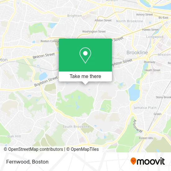
See Fernwood, Brookline, on the map
Public Transit to Fernwood in Brookline
Wondering how to get to Fernwood in Brookline? Moovit helps you find the best way to get to Fernwood with step-by-step directions from the nearest public transit station.
Moovit provides free maps and live directions to help you navigate through your city. View schedules, routes, timetables, and find out how long does it take to get to Fernwood in real time.
Looking for the nearest stop or station to Fernwood? Check out this list of stops closest to your destination: Englewood Ave.; Boylston St @ Heath St; Chestnut Hill Ave @ Channing Rd; Chestnut Hill.
Bus: 51, 86, 60.Subway: GREEN LINE D, GREEN LINE C.
Want to see if there’s another route that gets you there at an earlier time? Moovit helps you find alternative routes or times. Get directions from and directions to Fernwood easily from the Moovit App or Website.
We make riding to Fernwood easy, which is why over 1.7 million users, including users in Brookline, trust Moovit as the best app for public transit. You don’t need to download an individual bus app or train app, Moovit is your all-in-one transit app that helps you find the best bus time or train time available.
For information on prices of bus, subway and train, costs and ride fares to Fernwood, please check the Moovit app.
Use the app to navigate to popular places including to the airport, hospital, stadium, grocery store, mall, coffee shop, school, college, and university.
Fernwood Address: 155 Clyde St street in Brookline
- Perkins Estate,
- Perkins Estate,
- Foundation Syda,
- Coldwell Banker(R) President's Circle,
- Mls Property Information Network,
- Hammond Heritage,
- Carpet Cleaners Unlimited,
- New England Baptist Hospital,
- St. Lawrence Catholic Church,
- Neoss,
- Patti A Colevas MD,
- Farnan, Lori - Fish Center Womens Health,
- BWH Allergy and Asthma at Chestnut Hill,
- Brigham and Women's Ambulatory Care Center at Chestnut Hill,
- Brigham and Womens Pain Management Center,
- Saint Lawrence Church,
- Franklin Covey,
- Top of the Hub,
- Boston Private Bank,
- Air Conditioning Company
Places Near Fernwood (Brookline)
- Boston Children's Hospital, Boston,
- Massachusetts General Hospital, Boston,
- Boston Convention & Exhibition Center, Boston,
- Wilbur Theatre, Boston,
- Quincy Market, Boston,
- Prudential Center, Boston,
- Faneuil Hall, Boston,
- Wang Theater, Boston,
- Museum Of Science, Boston,
- Td Garden, Boston,
- Boston Common, Boston,
- Seaport District, Boston,
- Cheers, Boston,
- North End, Boston,
- Castle Island, Boston,
- Leader Bank Pavilion (Leader Bank Pavillion), Boston,
- Isabella Stewart Gardner Museum, Boston,
- Boston Medical Center, Boston,
- House Of Blues, Boston,
- Mgm Music Hall, Boston
How to get to popular places in Boston with public transit
Get around Brookline by public transit!
Traveling around Brookline has never been so easy. See step by step directions as you travel to any attraction, street or major public transit station. View bus and train schedules, arrival times, service alerts and detailed routes on a map, so you know exactly how to get to anywhere in Brookline.
When traveling to any destination around Brookline use Moovit's Live Directions with Get Off Notifications to know exactly where and how far to walk, how long to wait for your line, and how many stops are left. Moovit will alert you when it's time to get off — no need to constantly re-check whether yours is the next stop.
Wondering how to use public transit in Brookline or how to pay for public transit in Brookline? Moovit public transit app can help you navigate your way with public transit easily, and at minimum cost. It includes public transit fees, ticket prices, and costs. Looking for a map of Brookline public transit lines? Moovit public transit app shows all public transit maps in Brookline with all Bus, Train, Subway and Ferry routes and stops on an interactive map.
Boston has 4 transit type(s), including: Bus, Train, Subway and Ferry, operated by several transit agencies, including MBTA, Southeastern Regional Transit Authority, MetroWest Regional Transit Authority, Rhode Island Public Transit Authority, WRTA, Lowell Regional Transit Authority, Merrimack Valley Transit, Montachusett Regional Transit Authority, Cape Cod Regional Transit Authority, Brockton Area Transit Authority, Martha's Vineyard Transit Authority, the WAVE - Nantucket Regional Transit Authority, GATRA, Cape Ann Transportation Authority and Massport