How to get to Firestone by bus?
Click on the bus route to see step by step directions with maps, line arrival times and updated time schedules.
From Hodgson Road & Hodgson Blvd, Edmonton
58 minFrom Delta Hotels by Marriott Edmonton Centre Suites, Edmonton
47 minFrom Campus St-Jean, Edmonton
81 minFrom SSS Motorsports, Edmonton
80 minFrom Citadel Theatre, Edmonton
49 minFrom Perron St Chiropractic & Health Associates, St. Albert
52 minFrom Kinsmen Sports Centre, Edmonton
71 minFrom Midway, Edmonton
108 minFrom USC - Grant MacEwan University Service Centre, Edmonton
44 minFrom Dr. Gerald Zetter Care Centre, Edmonton
87 min
Bus stops near Firestone in Edmonton
Bus lines to Firestone in Edmonton
What are the closest stations to Firestone?
The closest stations to Firestone are:
- 172 Street & 103 Avenue is 176 meters away, 3 min walk.
- 175 Street & Stony Plain Road is 482 meters away, 7 min walk.
- 170 Street & Stony Plain Road is 540 meters away, 8 min walk.
Which bus lines stop near Firestone?
These bus lines stop near Firestone: 007, 054, 921.
What’s the nearest bus station to Firestone in Edmonton?
The nearest bus station to Firestone in Edmonton is 172 Street & 103 Avenue. It’s a 3 min walk away.
What time is the first bus to Firestone in Edmonton?
The 914 is the first bus that goes to Firestone in Edmonton. It stops nearby at 6:35 AM.
What time is the last bus to Firestone in Edmonton?
The 921 is the last bus that goes to Firestone in Edmonton. It stops nearby at 11:20 PM.
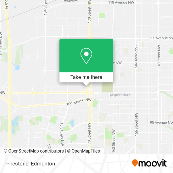
See Firestone, Edmonton, on the map
Public Transit to Firestone in Edmonton
Wondering how to get to Firestone in Edmonton? Moovit helps you find the best way to get to Firestone with step-by-step directions from the nearest public transit station.
Moovit provides free maps and live directions to help you navigate through your city. View schedules, routes, timetables, and find out how long does it take to get to Firestone in real time.
Looking for the nearest stop or station to Firestone? Check out this list of stops closest to your destination: 172 Street & 103 Avenue; 175 Street & Stony Plain Road; 170 Street & Stony Plain Road.
Bus: 007, 054, 921, 912, 925, 908, 907, 914.
Want to see if there’s another route that gets you there at an earlier time? Moovit helps you find alternative routes or times. Get directions from and directions to Firestone easily from the Moovit App or Website.
We make riding to Firestone easy, which is why over 1.5 million users, including users in Edmonton, trust Moovit as the best app for public transit. You don’t need to download an individual bus app or train app, Moovit is your all-in-one transit app that helps you find the best bus time or train time available.
For information on prices of bus, costs and ride fares to Firestone, please check the Moovit app.
Use the app to navigate to popular places including to the airport, hospital, stadium, grocery store, mall, coffee shop, school, college, and university.
Firestone Address: 10220 170 St NW Edmonton, AB T5S 1N9 street in Edmonton
- West Edmonton Volkswagen,
- Matrix Motorsports,
- TOYOTA,
- Mayfield Toyota,
- SNDL,
- Olive Garden Italian Restaurant,
- BMO Bank of Montreal,
- Soul of Halloween,
- Morgan Construction & Environmental,
- Mensroom,
- Kai Li Massage,
- Alberta Reproductive Centre,
- Iron Nutrition and Tanning,
- Blossoms,
- Bianca Amors Liquidati,
- SWTCH,
- Robertson Rodney K Professional,
- Wre Amalgamation,
- Coyle & Company Chartered Accountants,
- R P M Planning Associates
Places Near Firestone (Edmonton)
- Fort Edmonton Park, Edmonton,
- Kingsway Mall, Edmonton,
- MacEwan University, Edmonton,
- Rogers Place, Edmonton,
- Kaye Edmonton Clinic, Edmonton,
- Northgate Centre, Edmonton,
- Edmonton VIA Rail Station, Edmonton,
- Alberta Legislature Building, Edmonton,
- Canada Place Service Canada Centre, Edmonton,
- West Edmonton Mall, Edmonton,
- Royal Alexandra Hospital, Edmonton,
- Borden Park, Edmonton,
- Whyte Avenue, Edmonton,
- Edmonton Valley Zoo, Edmonton,
- Edmonton Commonwealth Stadium, Edmonton,
- Edmonton EXPO Centre, Edmonton,
- Cross Cancer Institute, Edmonton,
- Londonderry Mall, Edmonton,
- University of Alberta, Edmonton,
- Grey Nuns Community Hospital, Edmonton
How to get to popular places in Edmonton with public transit
Get around Edmonton by public transit!
Traveling around Edmonton has never been so easy. See step by step directions as you travel to any attraction, street or major public transit station. View bus and train schedules, arrival times, service alerts and detailed routes on a map, so you know exactly how to get to anywhere in Edmonton.
When traveling to any destination around Edmonton use Moovit's Live Directions with Get Off Notifications to know exactly where and how far to walk, how long to wait for your line, and how many stops are left. Moovit will alert you when it's time to get off — no need to constantly re-check whether yours is the next stop.
Wondering how to use public transit in Edmonton or how to pay for public transit in Edmonton? Moovit public transit app can help you navigate your way with public transit easily, and at minimum cost. It includes public transit fees, ticket prices, and costs. Looking for a map of Edmonton public transit lines? Moovit public transit app shows all public transit maps in Edmonton with all Bus and Light Rail routes and stops on an interactive map.
Edmonton has 2 transit type(s), including: Bus and Light Rail, operated by several transit agencies, including ETS LRT, ETS, Strathcona County Transit, St. Albert Transit, Spruce Grove Transit, Fort Saskatchewan Transit, Beaumont Transit and Leduc Transit