How to get to First Central Bible Church by bus?
Click on the bus route to see step by step directions with maps, line arrival times and updated time schedules.
From Polar Park, Worcester
119 minFrom South High Community School, Worcester
215 minFrom Registry Of Motor Vehicles (Rmv) Branch Office, Worcester
122 minFrom Foxwoods, Worcester
147 minFrom Dcu Center, Worcester
120 minFrom Worcester, MA, Worcester
118 minFrom Palladium, Worcester
123 minFrom Walmart Supercenter, Worcester
177 min
Bus stops near First Central Bible Church in Boston
Bus lines to First Central Bible Church in Boston
What are the closest stations to First Central Bible Church?
The closest stations to First Central Bible Church are:
- Grove / Oak is 176 yards away, 3 min walk.
- Montgomery / Memorial is 218 yards away, 3 min walk.
Which bus lines stop near First Central Bible Church?
These bus lines stop near First Central Bible Church: G1, R22.
What’s the nearest bus station to First Central Bible Church in Boston?
The nearest bus stations to First Central Bible Church in Boston are Grove / Oak and Montgomery / Memorial. The closest one is a 3 min walk away.
What time is the first bus to First Central Bible Church in Boston?
The G1 is the first bus that goes to First Central Bible Church in Boston. It stops nearby at 6:11 AM.
What time is the last bus to First Central Bible Church in Boston?
The G1 is the last bus that goes to First Central Bible Church in Boston. It stops nearby at 10:00 PM.
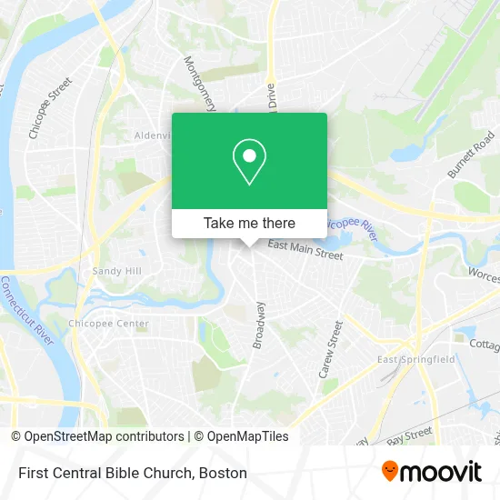
See First Central Bible Church, Boston, on the map
Public Transit to First Central Bible Church in Boston
Wondering how to get to First Central Bible Church in Boston? Moovit helps you find the best way to get to First Central Bible Church with step-by-step directions from the nearest public transit station.
Moovit provides free maps and live directions to help you navigate through your city. View schedules, routes, timetables, and find out how long does it take to get to First Central Bible Church in real time.
Looking for the nearest stop or station to First Central Bible Church? Check out this list of stops closest to your destination: Grove / Oak; Montgomery / Memorial.
Bus: G1, R22, X90.
Want to see if there’s another route that gets you there at an earlier time? Moovit helps you find alternative routes or times. Get directions from and directions to First Central Bible Church easily from the Moovit App or Website.
We make riding to First Central Bible Church easy, which is why over 1.7 million users, including users in Boston, trust Moovit as the best app for public transit. You don’t need to download an individual bus app or train app, Moovit is your all-in-one transit app that helps you find the best bus time or train time available.
For information on prices of bus, costs and ride fares to First Central Bible Church, please check the Moovit app.
Use the app to navigate to popular places including to the airport, hospital, stadium, grocery store, mall, coffee shop, school, college, and university.
First Central Bible Church Address: 50 Broadway St street in Boston
- First Central Baptist Church,
- Courthouse Coin OP Laundry,
- John P Crean Insurance,
- Laporte Shea and Borys Insurance,
- Lush Hair Studio,
- Hampden County District Attorney,
- Lees Tae Master Kwon do,
- J B Camerlin Real Estate,
- East Street Cemetery,
- Cafeno Cyber Cafe,
- CHD Adult Mental Health,
- Hawthorn Services,
- Iglesia Ccob:Ccob Church,
- Anaconda Locksmith,
- Crimmins-Graveline Insurance Agency,
- Facemate Complex Site,
- Theosophical Society in Springfield,
- Cebula Electronics,
- Vellum Art Collective,
- River Valley Counseling Center
Places Near First Central Bible Church (Boston)
- Wang Theater, Boston,
- Boston Children's Hospital, Boston,
- Seaport District, Boston,
- Faneuil Hall, Boston,
- Cheers, Boston,
- Massachusetts General Hospital, Boston,
- Td Garden, Boston,
- Boston Common, Boston,
- Museum Of Science, Boston,
- Isabella Stewart Gardner Museum, Boston,
- North End, Boston,
- Mgm Music Hall, Boston,
- Wilbur Theatre, Boston,
- House Of Blues, Boston,
- Boston Convention & Exhibition Center, Boston,
- Boston Medical Center, Boston,
- Castle Island, Boston,
- Quincy Market, Boston,
- Prudential Center, Boston,
- Leader Bank Pavilion (Leader Bank Pavillion), Boston
How to get to popular places in Boston with public transit
Get around Boston by public transit!
Traveling around Boston has never been so easy. See step by step directions as you travel to any attraction, street or major public transit station. View bus and train schedules, arrival times, service alerts and detailed routes on a map, so you know exactly how to get to anywhere in Boston.
When traveling to any destination around Boston use Moovit's Live Directions with Get Off Notifications to know exactly where and how far to walk, how long to wait for your line, and how many stops are left. Moovit will alert you when it's time to get off — no need to constantly re-check whether yours is the next stop.
Wondering how to use public transit in Boston or how to pay for public transit in Boston? Moovit public transit app can help you navigate your way with public transit easily, and at minimum cost. It includes public transit fees, ticket prices, and costs. Looking for a map of Boston public transit lines? Moovit public transit app shows all public transit maps in Boston with all Bus, Train, Subway and Ferry routes and stops on an interactive map.
Boston has 4 transit type(s), including: Bus, Train, Subway and Ferry, operated by several transit agencies, including MBTA, Southeastern Regional Transit Authority, MetroWest Regional Transit Authority, Rhode Island Public Transit Authority, WRTA, Lowell Regional Transit Authority, Merrimack Valley Transit, Montachusett Regional Transit Authority, Cape Cod Regional Transit Authority, Brockton Area Transit Authority, Martha's Vineyard Transit Authority, the WAVE - Nantucket Regional Transit Authority, GATRA, Cape Ann Transportation Authority and Massport