How to get to Fl by bus?
Click on the bus route to see step by step directions with maps, line arrival times and updated time schedules.
From Dinner Key Picnic Islands Park, Miami
78 minFrom Dodge Island, Miami
106 minFrom Consulado de Mexico en Miami, Miami
74 minFrom Electroland USA Corp, Miami
61 minFrom Hialeah Gardens, Hialeah
96 minFrom Port of Miami Cruise Terminal, Miami
76 minFrom Miami, FL, Miami
59 minFrom Amazon Fulfillment Center - MIA1, Miami
55 minFrom San Judas Tadeo Church, Miami
74 minFrom Opa-Locka, FL, Miami
52 min
How to get to Fl by train?
Click on the train route to see step by step directions with maps, line arrival times and updated time schedules.
Bus stops near Fl in Hialeah
Light Rail stations near Fl in Hialeah
- Mia@Lower Level Ramp, 52 min walk,VIEW
Train stations near Fl in Hialeah
Bus lines to Fl in Hialeah
What are the closest stations to Fl?
The closest stations to Fl are:
- Se 8 Av & Se 11 Pl is 821 yards away, 11 min walk.
- Nw 36 St & 42 Av is 851 yards away, 10 min walk.
- Nw 42 Av & 36 St is 898 yards away, 11 min walk.
- Nw 36 St & Coolidge Dr is 934 yards away, 11 min walk.
- Eb Hotel is 1015 yards away, 12 min walk.
- Mia@Lower Level Ramp is 4364 yards away, 52 min walk.
- Brownsville Station Rail Southbound is 4917 yards away, 58 min walk.
- Earlington Hts.stat.rail Southbound is 4997 yards away, 59 min walk.
Which bus lines stop near Fl?
These bus lines stop near Fl: 20, 36, 37, 42.
Which train line stops near Fl?
TRIRAIL (Northbound To Mangonia Park)
What’s the nearest bus station to Fl in Hialeah?
The nearest bus stations to Fl in Hialeah are Se 8 Av & Se 11 Pl, Nw 42 Av & 36 St and Nw 36 St & Coolidge Dr. The closest one is a 11 min walk away.
What time is the first light rail to Fl in Hialeah?
The MIA is the first light rail that goes to Fl in Hialeah. It stops nearby at 3:03 AM.
What time is the last light rail to Fl in Hialeah?
The MIA is the last light rail that goes to Fl in Hialeah. It stops nearby at 2:59 AM.
What time is the first train to Fl in Hialeah?
The ORANGE is the first train that goes to Fl in Hialeah. It stops nearby at 5:08 AM.
What time is the last train to Fl in Hialeah?
The GREEN is the last train that goes to Fl in Hialeah. It stops nearby at 12:44 AM.
What time is the first bus to Fl in Hialeah?
The 36 is the first bus that goes to Fl in Hialeah. It stops nearby at 4:07 AM.
What time is the last bus to Fl in Hialeah?
The 37 is the last bus that goes to Fl in Hialeah. It stops nearby at 1:15 AM.
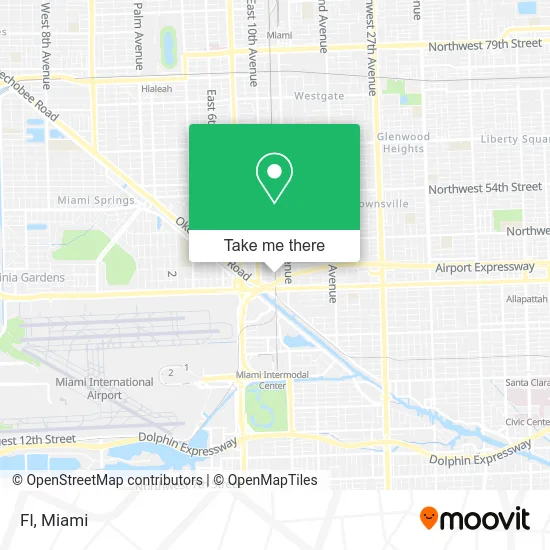
See Fl, Hialeah, on the map
Public Transit to Fl in Hialeah
Wondering how to get to Fl in Hialeah? Moovit helps you find the best way to get to Fl with step-by-step directions from the nearest public transit station.
Moovit provides free maps and live directions to help you navigate through your city. View schedules, routes, timetables, and find out how long does it take to get to Fl in real time.
Looking for the nearest stop or station to Fl? Check out this list of stops closest to your destination: Se 8 Av & Se 11 Pl; Nw 36 St & 42 Av; Nw 42 Av & 36 St; Nw 36 St & Coolidge Dr; Eb Hotel; Mia@Lower Level Ramp; Brownsville Station Rail Southbound; Earlington Hts.stat.rail Southbound.
Bus: 20, 36, 37, 42, 95, 132.Train: TRIRAIL, GREEN, ORANGE.
Want to see if there’s another route that gets you there at an earlier time? Moovit helps you find alternative routes or times. Get directions from and directions to Fl easily from the Moovit App or Website.
We make riding to Fl easy, which is why over 1.5 million users, including users in Hialeah, trust Moovit as the best app for public transit. You don’t need to download an individual bus app or train app, Moovit is your all-in-one transit app that helps you find the best bus time or train time available.
For information on prices of train and bus, costs and ride fares to Fl, please check the Moovit app.
Use the app to navigate to popular places including to the airport, hospital, stadium, grocery store, mall, coffee shop, school, college, and university.
Fl Address: 1200 SE 11th Ave Hialeah, FL 33010 street in Hialeah
- Tri Rail,
- Minerva Bunker Gear Cleaners,
- Tri-Rail - Hialeah Market Station,
- The Home Depot,
- Home Depot E Hialeah,
- Penske Auto Center,
- Depot,
- 950 SE 12th St Parking,
- Minute Key,
- Pepiteria13,
- Sapibon Creol,
- Food la Fortun,
- Ornamental Fish Imports,
- Leo S House,
- BOS Transport,
- Dynamic Boats,
- Teran Motors,
- Mrclassik,
- People's Plumbing,
- Valentini Italian Specialties (Valentini Ice Cream & Desserts)
Places Near Fl (Hialeah)
- Keiser University Flagship Campus, West Palm Beach,
- Bayside Marketplace, Miami,
- Port of Miami Cruise Terminal, Miami,
- Miami Freedom Park, Miami,
- Miami VA Hospital, Miami,
- Miami Design District, Miami,
- Marlins Park, Miami,
- Sawgrass Mall, Miami,
- Dolphin Mall, Miami,
- Hard Rock Stadium, Miami Gardens,
- Aventura Mall, Miami,
- Aventura Mall, Miami Beach,
- Richard E. Gerstein Justice Building, Miami,
- Little Havana, Miami,
- Miami-Dade County Courthouse, Miami,
- Sawgrass mall ( FL ), Miami Beach,
- Brickell City Centre, Miami,
- Wynwood, Miami,
- Dolphin Mall Bus, Miami,
- Zoo Miami, Miami
How to get to popular places in Miami with public transit
Get around Hialeah by public transit!
Traveling around Hialeah has never been so easy. See step by step directions as you travel to any attraction, street or major public transit station. View bus and train schedules, arrival times, service alerts and detailed routes on a map, so you know exactly how to get to anywhere in Hialeah.
When traveling to any destination around Hialeah use Moovit's Live Directions with Get Off Notifications to know exactly where and how far to walk, how long to wait for your line, and how many stops are left. Moovit will alert you when it's time to get off — no need to constantly re-check whether yours is the next stop.
Wondering how to use public transit in Hialeah or how to pay for public transit in Hialeah? Moovit public transit app can help you navigate your way with public transit easily, and at minimum cost. It includes public transit fees, ticket prices, and costs. Looking for a map of Hialeah public transit lines? Moovit public transit app shows all public transit maps in Hialeah with all Bus, Train, Light Rail and Ferry routes and stops on an interactive map.
Miami has 4 transit type(s), including: Bus, Train, Light Rail and Ferry, operated by several transit agencies, including Broward County Transit, Miami-Dade Transit, Metrorail, Palm Tran, Tri-Rail, Brightline, MARTY, City of Homestead Trolley, Key West Transit, Treasure Coast Connector, GoLine IRT, Amtrak, Greyhound-us, FlixBus-us and Aventura Express Shuttle Bus