Flaminia/Tor Di Quinto stop - Wednesday schedule
| Line | Direction | Time |
|---|---|---|
| 32 | Saxa Rubra Station | 5:58 AM |
| 32 | Saxa Rubra Station | 6:17 AM |
| FC3 BUS | Saxa Rubra | 6:24 AM |
| 32 | Saxa Rubra Station | 6:35 AM |
| FC3 BUS | Saxa Rubra | 6:39 AM |
| 32 | Saxa Rubra Station | 6:53 AM |
| FC3 BUS | Saxa Rubra | 6:54 AM |
| FC3 BUS | Saxa Rubra | 7:09 AM |
| 32 | Saxa Rubra Station | 7:11 AM |
| FC3 BUS | Saxa Rubra | 7:24 AM |
| 32 | Saxa Rubra Station | 7:30 AM |
| FC3 BUS | Saxa Rubra | 7:39 AM |
| FC3 BUS | Saxa Rubra | 7:52 AM |
| 32 | Saxa Rubra Station | 7:52 AM |
| FC3 BUS | Saxa Rubra | 8:09 AM |
| 32 | Saxa Rubra Station | 8:12 AM |
| FC3 BUS | Saxa Rubra | 8:24 AM |
| 32 | Saxa Rubra Station | 8:27 AM |
| FC3 BUS | Saxa Rubra | 8:39 AM |
| 32 | Saxa Rubra Station | 8:42 AM |
| FC3 BUS | Saxa Rubra | 8:54 AM |
| 32 | Saxa Rubra Station | 8:57 AM |
| FC3 BUS | Saxa Rubra | 9:09 AM |
| 32 | Saxa Rubra Station | 9:12 AM |
| FC3 BUS | Saxa Rubra | 9:24 AM |
Directions to Flaminia/Tor Di Quinto stop (Roma) with public transit
The following transit lines have routes that pass near Flaminia/Tor Di Quinto
 Bus: 32, C3, FC3 BUS, G70, G03.
- Train: FL3.
How to get to Flaminia/Tor Di Quinto stop by bus?
Click on the bus route to see step by step directions with maps, line arrival times and updated time schedules.
Bus stops near Flaminia/Tor Di Quinto stop in Roma
- Flaminia/Tor Di Quinto, 1 min walk,
- Tor Di Quinto/Number 151, 8 min walk,
- Due Ponti Station, 9 min walk,
Train stations near Flaminia/Tor Di Quinto station in Roma
- Vigna Clara, 16 min walk,
Bus lines to Flaminia/Tor Di Quinto stop in Roma
- 32, Giulio Cesare/Ottaviano,
- FC3 BUS, Roma Flaminio Square,
- G70, Grottarossa Station,
- G03, Ripetta,
- G07, Clodio,
- C3, Tiburtina (MB-FS) - Cimitero Flaminio,
- 200, Mancini Square - Prima Porta (RV),
- N200, Prima Porta (RV) - P.za Mancini,
What are the closest stations to Flaminia/Tor Di Quinto?
The closest stations to Flaminia/Tor Di Quinto are:
- Flaminia/Tor Di Quinto stop is 48 meters away, 1 min walk.
- Tor Di Quinto/Number 151 stop is 574 meters away, 8 min walk.
- Due Ponti Station is 664 meters away, 9 min walk.
- Vigna Clara station is 1268 meters away, 16 min walk.
Which bus lines stop near Flaminia/Tor Di Quinto?
These bus lines stop near Flaminia/Tor Di Quinto: 32, C3, FC3 BUS.
What’s the nearest train station to Flaminia/Tor Di Quinto in Roma?
The nearest train station to Flaminia/Tor Di Quinto in Roma is Vigna Clara. It’s a 16 min walk away.
What’s the nearest bus station to Flaminia/Tor Di Quinto in Roma?
The nearest bus station to Flaminia/Tor Di Quinto in Roma is Flaminia/Tor Di Quinto. It’s a 1 min walk away.
What time is the first bus to Flaminia/Tor Di Quinto in Roma?
The N200 is the first bus that goes to Flaminia/Tor Di Quinto in Roma. It stops nearby at 3:18 AM.
What time is the last bus to Flaminia/Tor Di Quinto in Roma?
The N200 is the last bus that goes to Flaminia/Tor Di Quinto in Roma. It stops nearby at 2:51 AM.
Flaminia/Tor Di Quinto station
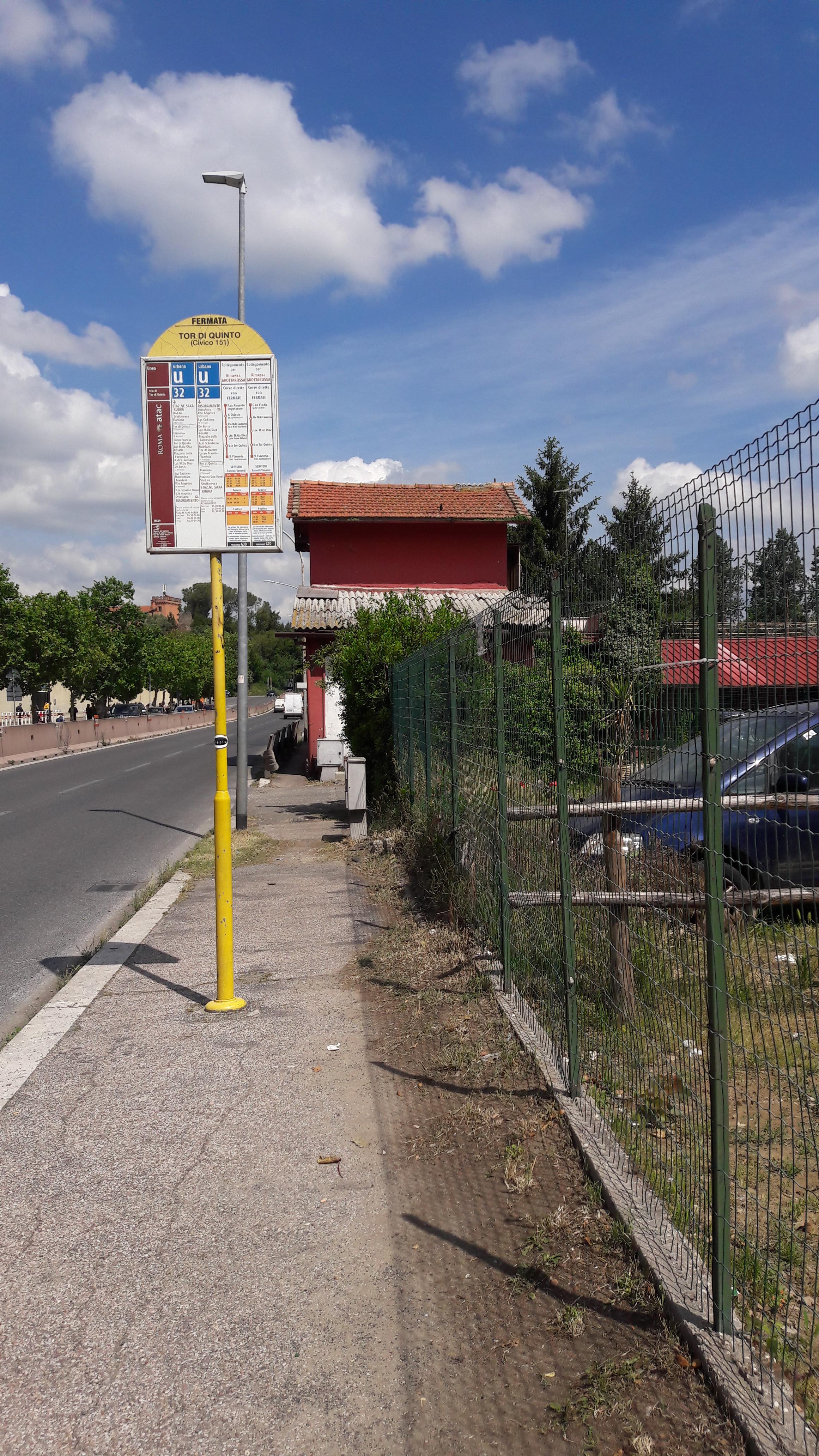 Taken by Anonymous
See Flaminia/Tor Di Quinto stop, Roma, on the map
Public transit to Flaminia/Tor Di Quinto stop (ID: 71251) in Roma
Looking for directions to Flaminia/Tor Di Quinto in Roma, Italy?
Download the Moovit App to find the current schedule and step-by-step directions for Bus or Metro routes that pass through Flaminia/Tor Di Quinto.
Looking for the nearest stops closest to Flaminia/Tor Di Quinto ? Check out this list of closest stops to your destination: Flaminia/Tor Di Quinto; Tor Di Quinto/Number 151; Due Ponti Station; Vigna Clara.
Bus: 32, C3, FC3 BUS, G70, G03, G07, 200, N200.Train: FL3.
We make riding on public transit to Flaminia/Tor Di Quinto easy, which is why over 1.7 billion users, including users in Roma trust Moovit as the best app for public transit.
Use the app to navigate to popular places including to the airport, hospital, stadium, grocery store, mall, coffee shop, school, college, and university.
Flaminia/Tor Di Quinto stop’s code is 71251
The first line to this stop is 32, at 5:58 AM, and the last line is 32 at 12:34 AM.
This stop serves Cotral and ATAC’s lines
Popular routes from Flaminia/Tor Di Quinto stop, Roma
- Flaminia/Tor Di Quinto,
- Tor Di Quinto/Number 151,
- Due Ponti Station
Bus stops near Flaminia/Tor Di Quinto stop
- Vigna Clara
Train station near Flaminia/Tor Di Quinto station
- Victory Square,
- Plebiscite Square,
- Formia | Appia Street Gianola Street (IPSSEOA),
- Via Lenin, 8b,
- Oslavia/Mazzini,
- Divino Amore/Frattocchie,
- Longoni/Inps,
- Trieste/Gorizia,
- Ceprano | Casilina Road (Km 100),
- Porta Pia,
- Colle Mattia,
- St. Stephen Rotunda/Addolorata Hospital,
- Bravetta/Pisana,
- Tor Marancia/Rufino,
- Terracina | Migliara 58 Street Pontina Road,
- Portonaccio/De Dominicis,
- La Rustica U.I.R.,
- Colombo/Rufino,
- Lanuvio | Via Nettunense (Bellavista),
- San Cesareo Cemetery
Popular public transit stations in Roma
Get around Roma by public transit!
Traveling around Roma has never been so easy. See step by step directions as you travel to any attraction, street or major public transit station. View bus and train schedules, arrival times, service alerts and detailed routes on a map, so you know exactly how to get to anywhere in Roma.
When traveling to any destination around Roma use Moovit's Live Directions with Get Off Notifications to know exactly where and how far to walk, how long to wait for your line, and how many stops are left. Moovit will alert you when it's time to get off — no need to constantly re-check whether yours is the next stop.
Wondering how to use public transit in Roma or how to pay for public transit in Roma? Moovit public transit app can help you navigate your way with public transit easily, and at minimum cost. It includes public transit fees, ticket prices, and costs. Looking for a map of Roma public transit lines? Moovit public transit app shows all public transit maps in Roma with all Bus, Train, Metro, Light Rail, Ferry, Funicular and Gondola routes and stops on an interactive map.
Rome and Lazio has 7 transit type(s), including: Bus, Train, Metro, Light Rail, Ferry, Funicular and Gondola, operated by several transit agencies, including ATAC, Cotral, Trenitalia, Troiani Transportation Services, BIS, ATR Mobility, Tuscia, Shuttle, Seatour, Troiani Bus Lines, CSC Mobility, Terravision, ATRAL, Tambus and Sitbus