Directions to Fleetpride Parts (Boston) with public transportation
The following transit lines have routes that pass near Fleetpride Parts
 Bus: R14.
How to get to Fleetpride Parts by bus?
Click on the bus route to see step by step directions with maps, line arrival times and updated time schedules.
From Registry Of Motor Vehicles (Rmv) Branch Office, Worcester
164 minFrom Worcester, MA, Worcester
160 minFrom Dcu Center, Worcester
162 minFrom South High Community School, Worcester
257 minFrom Foxwoods, Worcester
189 minFrom Polar Park, Worcester
161 minFrom Walmart Supercenter, Worcester
219 minFrom Palladium, Worcester
165 min
Bus stop near Fleetpride Parts in Boston
- Heritage Nursing Home, 4 min walk,VIEW
Bus lines to Fleetpride Parts in Boston
- R14, Union Station Springfield Via Heritage Nursing Home,VIEW
What are the closest stations to Fleetpride Parts?
The closest stations to Fleetpride Parts are:
- Heritage Nursing Home is 327 yards away, 4 min walk.
Which bus line stops near Fleetpride Parts?
R14 (Pheasant Hill)
What’s the nearest bus station to Fleetpride Parts in Boston?
The nearest bus station to Fleetpride Parts in Boston is Heritage Nursing Home. It’s a 4 min walk away.
What time is the first bus to Fleetpride Parts in Boston?
The R14 is the first bus that goes to Fleetpride Parts in Boston. It stops nearby at 6:33 AM.
What time is the last bus to Fleetpride Parts in Boston?
The R14 is the last bus that goes to Fleetpride Parts in Boston. It stops nearby at 5:32 PM.
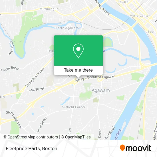
See Fleetpride Parts, Boston, on the map
Public Transit to Fleetpride Parts in Boston
Wondering how to get to Fleetpride Parts in Boston? Moovit helps you find the best way to get to Fleetpride Parts with step-by-step directions from the nearest public transit station.
Moovit provides free maps and live directions to help you navigate through your city. View schedules, routes, timetables, and find out how long does it take to get to Fleetpride Parts in real time.
Looking for the nearest stop or station to Fleetpride Parts? Check out this list of stops closest to your destination: Heritage Nursing Home.
Bus: R14.
Want to see if there’s another route that gets you there at an earlier time? Moovit helps you find alternative routes or times. Get directions from and directions to Fleetpride Parts easily from the Moovit App or Website.
We make riding to Fleetpride Parts easy, which is why over 1.7 million users, including users in Boston, trust Moovit as the best app for public transit. You don’t need to download an individual bus app or train app, Moovit is your all-in-one transit app that helps you find the best bus time or train time available.
For information on prices of bus, costs and ride fares to Fleetpride Parts, please check the Moovit app.
Use the app to navigate to popular places including to the airport, hospital, stadium, grocery store, mall, coffee shop, school, college, and university.
Fleetpride Parts Address: 32 Century St street in Boston
- Italian Sporting Club,
- Heritage Hall East,
- Royal Rangers Outpost 17 Agawam, Ma,
- Bethany Assembly Of God Church,
- Stacey Fonseca,
- By Design Landscape Concepts,
- Shaklee Distributor,
- Agawam Ecc,
- Genesis,
- Perry Lane Pre-School,
- Perry Lane Park,
- Roberts Michael,
- Genesis Elder Care Services,
- Big Rig Truck & Trailer Repairs,
- Chris Hamel Productions,
- Waterfresh,
- Chapin Ambulance,
- Toasts and Cheers,
- North Cemetery,
- RRD Technologies
Places Near Fleetpride Parts (Boston)
- Boston Children's Hospital, Boston,
- Castle Island, Boston,
- House Of Blues, Boston,
- North End, Boston,
- Seaport District, Boston,
- Faneuil Hall, Boston,
- Leader Bank Pavilion (Leader Bank Pavillion), Boston,
- Wang Theater, Boston,
- Boston Convention & Exhibition Center, Boston,
- Boston Common, Boston,
- Massachusetts General Hospital, Boston,
- Boston Medical Center, Boston,
- Prudential Center, Boston,
- Cheers, Boston,
- Td Garden, Boston,
- Mgm Music Hall, Boston,
- Quincy Market, Boston,
- Wilbur Theatre, Boston,
- Museum Of Science, Boston,
- Isabella Stewart Gardner Museum, Boston
How to get to popular places in Boston with public transit
Get around Boston by public transit!
Traveling around Boston has never been so easy. See step by step directions as you travel to any attraction, street or major public transit station. View bus and train schedules, arrival times, service alerts and detailed routes on a map, so you know exactly how to get to anywhere in Boston.
When traveling to any destination around Boston use Moovit's Live Directions with Get Off Notifications to know exactly where and how far to walk, how long to wait for your line, and how many stops are left. Moovit will alert you when it's time to get off — no need to constantly re-check whether yours is the next stop.
Wondering how to use public transit in Boston or how to pay for public transit in Boston? Moovit public transit app can help you navigate your way with public transit easily, and at minimum cost. It includes public transit fees, ticket prices, and costs. Looking for a map of Boston public transit lines? Moovit public transit app shows all public transit maps in Boston with all Bus, Train, Subway and Ferry routes and stops on an interactive map.
Boston has 4 transit type(s), including: Bus, Train, Subway and Ferry, operated by several transit agencies, including MBTA, Southeastern Regional Transit Authority, MetroWest Regional Transit Authority, Rhode Island Public Transit Authority, WRTA, Lowell Regional Transit Authority, Merrimack Valley Transit, Montachusett Regional Transit Authority, Cape Cod Regional Transit Authority, Brockton Area Transit Authority, Martha's Vineyard Transit Authority, the WAVE - Nantucket Regional Transit Authority, GATRA, Cape Ann Transportation Authority and Massport