How to get to Fluff 'N Mutt by bus?
Click on the bus route to see step by step directions with maps, line arrival times and updated time schedules.
From Palladium, Worcester
125 minFrom Foxwoods, Worcester
150 minFrom Polar Park, Worcester
122 minFrom Walmart Supercenter, Worcester
179 minFrom Worcester, MA, Worcester
120 minFrom Dcu Center, Worcester
122 minFrom South High Community School, Worcester
217 minFrom Registry Of Motor Vehicles (Rmv) Branch Office, Worcester
124 min
Bus lines to Fluff 'N Mutt in Boston
What are the closest stations to Fluff 'N Mutt?
The closest stations to Fluff 'N Mutt are:
- Main / Banner is 79 yards away, 2 min walk.
- East / Hubbard is 468 yards away, 6 min walk.
Which bus line stops near Fluff 'N Mutt?
B6 (Ludlow Big Y Via Bay/Berkshire/Pasco)
What’s the nearest bus station to Fluff 'N Mutt in Boston?
The nearest bus station to Fluff 'N Mutt in Boston is Main / Banner. It’s a 2 min walk away.
What time is the first bus to Fluff 'N Mutt in Boston?
The B6 is the first bus that goes to Fluff 'N Mutt in Boston. It stops nearby at 5:36 AM.
What time is the last bus to Fluff 'N Mutt in Boston?
The B6 is the last bus that goes to Fluff 'N Mutt in Boston. It stops nearby at 10:13 PM.
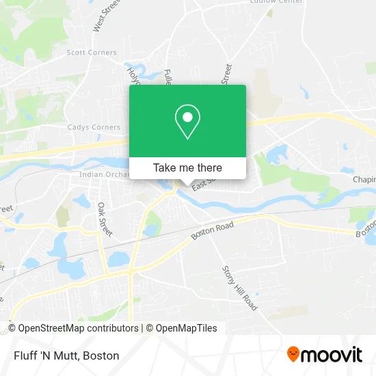
See Fluff 'N Mutt, Boston, on the map
Public Transit to Fluff 'N Mutt in Boston
Wondering how to get to Fluff 'N Mutt in Boston? Moovit helps you find the best way to get to Fluff 'N Mutt with step-by-step directions from the nearest public transit station.
Moovit provides free maps and live directions to help you navigate through your city. View schedules, routes, timetables, and find out how long does it take to get to Fluff 'N Mutt in real time.
Looking for the nearest stop or station to Fluff 'N Mutt? Check out this list of stops closest to your destination: Main / Banner; East / Hubbard.
Bus: B6, X94.
Want to see if there’s another route that gets you there at an earlier time? Moovit helps you find alternative routes or times. Get directions from and directions to Fluff 'N Mutt easily from the Moovit App or Website.
We make riding to Fluff 'N Mutt easy, which is why over 1.7 million users, including users in Boston, trust Moovit as the best app for public transit. You don’t need to download an individual bus app or train app, Moovit is your all-in-one transit app that helps you find the best bus time or train time available.
For information on prices of bus, costs and ride fares to Fluff 'N Mutt, please check the Moovit app.
Use the app to navigate to popular places including to the airport, hospital, stadium, grocery store, mall, coffee shop, school, college, and university.
Fluff 'N Mutt Address: 85 East St street in Boston
- Zombie Camp,
- Hair Styles by Helena,
- Arena Fight Club,
- Permanent Addiction Tattoo Parlor,
- Balance Professional,
- Bobs Bins,
- Princess Nail,
- Max's Whatnot Shop,
- Ludlow Mills,
- Stevens Senior Housing-Manager's Office,
- Tonertown,
- Yogurt Mill,
- Rehabilitation Hospital Western Mass,
- Wic Program,
- Prohealth Chiropractic & Rehabilitation,
- Gowen & Trombly Insurance Agency,
- Domestic Bank Ludlow,
- King Information Systems,
- St. Stephen Orthodox Church,
- Ludlow Printing & Copy Center
Places Near Fluff 'N Mutt (Boston)
- House Of Blues, Boston,
- Isabella Stewart Gardner Museum, Boston,
- North End, Boston,
- Prudential Center, Boston,
- Td Garden, Boston,
- Mgm Music Hall, Boston,
- Wilbur Theatre, Boston,
- Boston Common, Boston,
- Boston Medical Center, Boston,
- Boston Children's Hospital, Boston,
- Wang Theater, Boston,
- Massachusetts General Hospital, Boston,
- Castle Island, Boston,
- Faneuil Hall, Boston,
- Boston Convention & Exhibition Center, Boston,
- Seaport District, Boston,
- Cheers, Boston,
- Museum Of Science, Boston,
- Quincy Market, Boston,
- Leader Bank Pavilion (Leader Bank Pavillion), Boston
How to get to popular places in Boston with public transit
Get around Boston by public transit!
Traveling around Boston has never been so easy. See step by step directions as you travel to any attraction, street or major public transit station. View bus and train schedules, arrival times, service alerts and detailed routes on a map, so you know exactly how to get to anywhere in Boston.
When traveling to any destination around Boston use Moovit's Live Directions with Get Off Notifications to know exactly where and how far to walk, how long to wait for your line, and how many stops are left. Moovit will alert you when it's time to get off — no need to constantly re-check whether yours is the next stop.
Wondering how to use public transit in Boston or how to pay for public transit in Boston? Moovit public transit app can help you navigate your way with public transit easily, and at minimum cost. It includes public transit fees, ticket prices, and costs. Looking for a map of Boston public transit lines? Moovit public transit app shows all public transit maps in Boston with all Bus, Train, Subway and Ferry routes and stops on an interactive map.
Boston has 4 transit type(s), including: Bus, Train, Subway and Ferry, operated by several transit agencies, including MBTA, Southeastern Regional Transit Authority, MetroWest Regional Transit Authority, Rhode Island Public Transit Authority, WRTA, Lowell Regional Transit Authority, Merrimack Valley Transit, Montachusett Regional Transit Authority, Cape Cod Regional Transit Authority, Brockton Area Transit Authority, Martha's Vineyard Transit Authority, the WAVE - Nantucket Regional Transit Authority, GATRA, Cape Ann Transportation Authority and Massport