Directions to Foot Paths (Boston) with public transportation
The following transit lines have routes that pass near Foot Paths
 Bus: 16, 23, 15, 17, 19.
- Train: FAIRMOUNT, FRANKLIN/FOXBORO, PROVIDENCE/STOUGHTON, FAIRMOUNT LINE SHUTTLE.
- Subway: RED LINE.
How to get to Foot Paths by bus?
Click on the bus route to see step by step directions with maps, line arrival times and updated time schedules.
From The Beehive, Boston
44 minFrom Watertown Mall, Watertown Town
97 minFrom Sarma, Somerville
110 minFrom Newton, MA, Newton
76 minFrom Old South Church, Boston
48 minFrom Brigham and Women's Hospital, Boston
43 minFrom Hampton Inn & Suites-Hampton Watertown Boston (Hampton Inn & Suites Watertown Boston), Watertown Town
94 minFrom Wyndham Boston Beacon Hill, Boston
63 minFrom Dedham District Court, Dedham
62 minFrom crown Colony Shuttle, Quincy
73 min
How to get to Foot Paths by train?
Click on the train route to see step by step directions with maps, line arrival times and updated time schedules.
How to get to Foot Paths by subway?
Click on the subway route to see step by step directions with maps, line arrival times and updated time schedules.
Bus stops near Foot Paths in Boston
Subway station near Foot Paths in Boston
- Shawmut, 15 min walk,VIEW
Train stations near Foot Paths in Boston
Bus lines to Foot Paths in Boston
What are the closest stations to Foot Paths?
The closest stations to Foot Paths are:
- Washington St @ Park St is 80 yards away, 2 min walk.
- Geneva Ave @ Holiday St is 418 yards away, 5 min walk.
- Shawmut is 1245 yards away, 15 min walk.
- Four Corners/Geneva is 1399 yards away, 17 min walk.
- Talbot Avenue is 1601 yards away, 19 min walk.
Which bus lines stop near Foot Paths?
These bus lines stop near Foot Paths: 16, 23.
Which train line stops near Foot Paths?
FAIRMOUNT (#1619 | Fairmount)
Which subway line stops near Foot Paths?
RED LINE (Ashmont/Braintree)
What’s the nearest subway station to Foot Paths in Boston?
The nearest subway station to Foot Paths in Boston is Shawmut. It’s a 15 min walk away.
What’s the nearest train station to Foot Paths in Boston?
The nearest train station to Foot Paths in Boston is Four Corners/Geneva. It’s a 17 min walk away.
What’s the nearest bus station to Foot Paths in Boston?
The nearest bus station to Foot Paths in Boston is Washington St @ Park St. It’s a 2 min walk away.
What time is the first subway to Foot Paths in Boston?
The RED LINE is the first subway that goes to Foot Paths in Boston. It stops nearby at 5:16 AM.
What time is the last subway to Foot Paths in Boston?
The RED LINE is the last subway that goes to Foot Paths in Boston. It stops nearby at 2:03 AM.
What time is the first train to Foot Paths in Boston?
The FAIRMOUNT is the first train that goes to Foot Paths in Boston. It stops nearby at 4:41 AM.
What time is the last train to Foot Paths in Boston?
The FAIRMOUNT is the last train that goes to Foot Paths in Boston. It stops nearby at 12:03 AM.
What time is the first bus to Foot Paths in Boston?
The 15 is the first bus that goes to Foot Paths in Boston. It stops nearby at 3:30 AM.
What time is the last bus to Foot Paths in Boston?
The 23 is the last bus that goes to Foot Paths in Boston. It stops nearby at 2:39 AM.
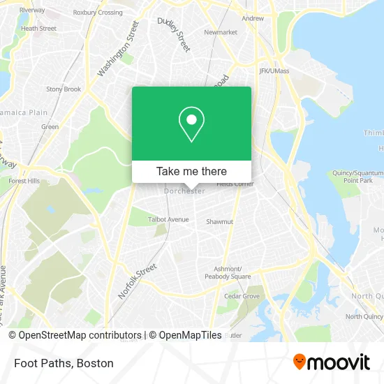
See Foot Paths, Boston, on the map
Public Transit to Foot Paths in Boston
Wondering how to get to Foot Paths in Boston? Moovit helps you find the best way to get to Foot Paths with step-by-step directions from the nearest public transit station.
Moovit provides free maps and live directions to help you navigate through your city. View schedules, routes, timetables, and find out how long does it take to get to Foot Paths in real time.
Looking for the nearest stop or station to Foot Paths? Check out this list of stops closest to your destination: Washington St @ Park St; Geneva Ave @ Holiday St; Shawmut; Four Corners/Geneva; Talbot Avenue.
Bus: 16, 23, 15, 17, 19.Train: FAIRMOUNT, FRANKLIN/FOXBORO, PROVIDENCE/STOUGHTON, FAIRMOUNT LINE SHUTTLE.Subway: RED LINE.
Want to see if there’s another route that gets you there at an earlier time? Moovit helps you find alternative routes or times. Get directions from and directions to Foot Paths easily from the Moovit App or Website.
We make riding to Foot Paths easy, which is why over 1.7 million users, including users in Boston, trust Moovit as the best app for public transit. You don’t need to download an individual bus app or train app, Moovit is your all-in-one transit app that helps you find the best bus time or train time available.
For information on prices of bus, subway and train, costs and ride fares to Foot Paths, please check the Moovit app.
Use the app to navigate to popular places including to the airport, hospital, stadium, grocery store, mall, coffee shop, school, college, and university.
Foot Paths Address: 415 Washington St street in Boston
- Center for Community Health,
- House of Deliverance Cog,
- Cardoso Towing,
- 23 Bradlee St,
- Macy's,
- American Locksmith,
- Codman Square Health Center,
- Dorchester,
- Steven K Parnagian Attorney,
- Chyna's Daycare,
- Abcd Dorchester NSC Food Pantry,
- Abcd Dorchester NSC,
- Ephese Seventh Day Adventist Church,
- Dorchester District Court,
- Amaral & Associates Real Estate,
- O W Holmes,
- Mark S Resnick Esq,
- Beer Distributors of Massachusetts,
- Reilly Michael O J Attorney,
- Greater Inner Faith House of Worship
Places Near Foot Paths (Boston)
- Wilbur Theatre, Boston,
- Cheers, Boston,
- Isabella Stewart Gardner Museum, Boston,
- Seaport District, Boston,
- Mgm Music Hall, Boston,
- Quincy Market, Boston,
- Wang Theater, Boston,
- Leader Bank Pavilion (Leader Bank Pavillion), Boston,
- Td Garden, Boston,
- Boston Medical Center, Boston,
- House Of Blues, Boston,
- Boston Children's Hospital, Boston,
- Faneuil Hall, Boston,
- Museum Of Science, Boston,
- Boston Common, Boston,
- Boston Convention & Exhibition Center, Boston,
- Castle Island, Boston,
- North End, Boston,
- Prudential Center, Boston,
- Massachusetts General Hospital, Boston
How to get to popular places in Boston with public transit
Get around Boston by public transit!
Traveling around Boston has never been so easy. See step by step directions as you travel to any attraction, street or major public transit station. View bus and train schedules, arrival times, service alerts and detailed routes on a map, so you know exactly how to get to anywhere in Boston.
When traveling to any destination around Boston use Moovit's Live Directions with Get Off Notifications to know exactly where and how far to walk, how long to wait for your line, and how many stops are left. Moovit will alert you when it's time to get off — no need to constantly re-check whether yours is the next stop.
Wondering how to use public transit in Boston or how to pay for public transit in Boston? Moovit public transit app can help you navigate your way with public transit easily, and at minimum cost. It includes public transit fees, ticket prices, and costs. Looking for a map of Boston public transit lines? Moovit public transit app shows all public transit maps in Boston with all Bus, Train, Subway and Ferry routes and stops on an interactive map.
Boston has 4 transit type(s), including: Bus, Train, Subway and Ferry, operated by several transit agencies, including MBTA, Southeastern Regional Transit Authority, MetroWest Regional Transit Authority, Rhode Island Public Transit Authority, WRTA, Lowell Regional Transit Authority, Merrimack Valley Transit, Montachusett Regional Transit Authority, Cape Cod Regional Transit Authority, Brockton Area Transit Authority, Martha's Vineyard Transit Authority, the WAVE - Nantucket Regional Transit Authority, GATRA, Cape Ann Transportation Authority and Massport