Directions to Fountain Of Grace Church (Worcester) with public transportation
The following transit lines have routes that pass near Fountain Of Grace Church
 Bus: 11, 42, 825, GREYHOUND US0230, 29.
How to get to Fountain Of Grace Church by bus?
Click on the bus route to see step by step directions with maps, line arrival times and updated time schedules.
Bus stops near Fountain Of Grace Church in Worcester
Bus lines to Fountain Of Grace Church in Worcester
What are the closest stations to Fountain Of Grace Church?
The closest stations to Fountain Of Grace Church are:
- Southbridge St at Colloge Sq is 151 yards away, 2 min walk.
- Millbury St at Perry is 254 yards away, 3 min walk.
- Canterbury St + Grand St is 1053 yards away, 13 min walk.
Which bus lines stop near Fountain Of Grace Church?
These bus lines stop near Fountain Of Grace Church: 11, 42, 825, GREYHOUND US0230.
What’s the nearest bus station to Fountain Of Grace Church in Worcester?
The nearest bus station to Fountain Of Grace Church in Worcester is Southbridge St at Colloge Sq. It’s a 2 min walk away.
What time is the first bus to Fountain Of Grace Church in Worcester?
The 42 is the first bus that goes to Fountain Of Grace Church in Worcester. It stops nearby at 5:25 AM.
What time is the last bus to Fountain Of Grace Church in Worcester?
The 4 is the last bus that goes to Fountain Of Grace Church in Worcester. It stops nearby at 9:42 PM.
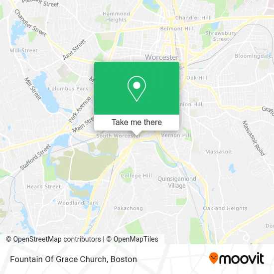
See Fountain Of Grace Church, Worcester, on the map
Public Transit to Fountain Of Grace Church in Worcester
Wondering how to get to Fountain Of Grace Church in Worcester? Moovit helps you find the best way to get to Fountain Of Grace Church with step-by-step directions from the nearest public transit station.
Moovit provides free maps and live directions to help you navigate through your city. View schedules, routes, timetables, and find out how long does it take to get to Fountain Of Grace Church in real time.
Looking for the nearest stop or station to Fountain Of Grace Church? Check out this list of stops closest to your destination: Southbridge St at Colloge Sq; Millbury St at Perry; Canterbury St + Grand St.
Bus: 11, 42, 825, GREYHOUND US0230, 29, 4.
Want to see if there’s another route that gets you there at an earlier time? Moovit helps you find alternative routes or times. Get directions from and directions to Fountain Of Grace Church easily from the Moovit App or Website.
We make riding to Fountain Of Grace Church easy, which is why over 1.7 million users, including users in Worcester, trust Moovit as the best app for public transit. You don’t need to download an individual bus app or train app, Moovit is your all-in-one transit app that helps you find the best bus time or train time available.
For information on prices of bus and train, costs and ride fares to Fountain Of Grace Church, please check the Moovit app.
Use the app to navigate to popular places including to the airport, hospital, stadium, grocery store, mall, coffee shop, school, college, and university.
Fountain Of Grace Church Address: 700 Southbridge St street in Worcester
- Sewer Line Repair,
- All Cellular Ma LLC-Southbridge St,
- J C Cleaners,
- Andrea Travel,
- Iglesia Cristiana Discipulos de Cristo,
- Central Mass Deaf Seniors,
- CUBESMART,
- Food Mart,
- ATM,
- B&D Supply, Inc.,
- Lappy Fix,
- Primera Iglesia Pentacostal Roca de Salvacion,
- First Pentecostal,
- Unbank Bitcoin ATM,
- Little Patriots Early Learning Center,
- Roman Catholic Bishop-WRCSTR,
- Storage 365,
- Thermoplastics Co. Inc.,
- Paradise Bar,
- Courthouse Brew Company
Places Near Fountain Of Grace Church (Worcester)
- Prudential Center, Boston,
- Cheers, Boston,
- Boston Convention & Exhibition Center, Boston,
- Td Garden, Boston,
- Castle Island, Boston,
- Wang Theater, Boston,
- Boston Children's Hospital, Boston,
- Leader Bank Pavilion (Leader Bank Pavillion), Boston,
- Massachusetts General Hospital, Boston,
- Boston Medical Center, Boston,
- Seaport District, Boston,
- Faneuil Hall, Boston,
- House Of Blues, Boston,
- Museum Of Science, Boston,
- Quincy Market, Boston,
- Boston Common, Boston,
- Wilbur Theatre, Boston,
- Mgm Music Hall, Boston,
- Isabella Stewart Gardner Museum, Boston,
- North End, Boston
How to get to popular places in Boston with public transit
Get around Worcester by public transit!
Traveling around Worcester has never been so easy. See step by step directions as you travel to any attraction, street or major public transit station. View bus and train schedules, arrival times, service alerts and detailed routes on a map, so you know exactly how to get to anywhere in Worcester.
When traveling to any destination around Worcester use Moovit's Live Directions with Get Off Notifications to know exactly where and how far to walk, how long to wait for your line, and how many stops are left. Moovit will alert you when it's time to get off — no need to constantly re-check whether yours is the next stop.
Wondering how to use public transit in Worcester or how to pay for public transit in Worcester? Moovit public transit app can help you navigate your way with public transit easily, and at minimum cost. It includes public transit fees, ticket prices, and costs. Looking for a map of Worcester public transit lines? Moovit public transit app shows all public transit maps in Worcester with all Bus, Train, Subway and Ferry routes and stops on an interactive map.
Boston has 4 transit type(s), including: Bus, Train, Subway and Ferry, operated by several transit agencies, including MBTA, Southeastern Regional Transit Authority, MetroWest Regional Transit Authority, Rhode Island Public Transit Authority, WRTA, Lowell Regional Transit Authority, Merrimack Valley Transit, Montachusett Regional Transit Authority, Cape Cod Regional Transit Authority, Brockton Area Transit Authority, Martha's Vineyard Transit Authority, the WAVE - Nantucket Regional Transit Authority, GATRA, Cape Ann Transportation Authority and Massport