How to get to Four Point Design by bus?
Click on the bus route to see step by step directions with maps, line arrival times and updated time schedules.
From Danny's Closet of Hope - St. Vincent, Indianapolis City (Balance)
143 minFrom W 86th St / Michigan Rd, Indianapolis City (Balance)
138 minFrom N Franklin Rd / E 56th St, Lawrence
110 minFrom E 56th & 465, Indianapolis City (Balance)
75 minFrom 86th/michigan Road, Indianapolis City (Balance)
141 minFrom Lawrence North High School, Indianapolis City (Balance)
74 minFrom W 79th St / Township Line Rd, Indianapolis City (Balance)
149 minFrom Blisspoint Inn@NW Indi, Indianapolis City (Balance)
142 minFrom The Pure in Heart Center, Indianapolis City (Balance)
151 minFrom St. Vincent Indianapolis Hospital, Indianapolis City (Balance)
155 min
Bus stop near Four Point Design in Indianapolis City (Balance)
- Commerce Crossing & River Crossing Blvd, 2 min walk,VIEW
Bus lines to Four Point Design in Indianapolis City (Balance)
What are the closest stations to Four Point Design?
The closest stations to Four Point Design are:
- Commerce Crossing & River Crossing Blvd is 128 yards away, 2 min walk.
Which bus lines stop near Four Point Design?
These bus lines stop near Four Point Design: 26, 82.
What’s the nearest bus station to Four Point Design in Indianapolis City (Balance)?
The nearest bus station to Four Point Design in Indianapolis City (Balance) is Commerce Crossing & River Crossing Blvd. It’s a 2 min walk away.
What time is the first bus to Four Point Design in Indianapolis City (Balance)?
The 82 is the first bus that goes to Four Point Design in Indianapolis City (Balance). It stops nearby at 5:15 AM.
What time is the last bus to Four Point Design in Indianapolis City (Balance)?
The 26 is the last bus that goes to Four Point Design in Indianapolis City (Balance). It stops nearby at 11:29 PM.
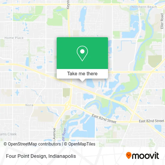
See Four Point Design, Indianapolis City (Balance), on the map
Public Transit to Four Point Design in Indianapolis City (Balance)
Wondering how to get to Four Point Design in Indianapolis City (Balance)? Moovit helps you find the best way to get to Four Point Design with step-by-step directions from the nearest public transit station.
Moovit provides free maps and live directions to help you navigate through your city. View schedules, routes, timetables, and find out how long does it take to get to Four Point Design in real time.
Looking for the nearest stop or station to Four Point Design? Check out this list of stops closest to your destination: Commerce Crossing & River Crossing Blvd.
Bus: 26, 82.
Want to see if there’s another route that gets you there at an earlier time? Moovit helps you find alternative routes or times. Get directions from and directions to Four Point Design easily from the Moovit App or Website.
We make riding to Four Point Design easy, which is why over 1.5 million users, including users in Indianapolis City (Balance), trust Moovit as the best app for public transit. You don’t need to download an individual bus app or train app, Moovit is your all-in-one transit app that helps you find the best bus time or train time available.
For information on prices of bus, costs and ride fares to Four Point Design, please check the Moovit app.
Use the app to navigate to popular places including to the airport, hospital, stadium, grocery store, mall, coffee shop, school, college, and university.
Four Point Design Address: 9225 Priority Way West Dr street in Indianapolis City (Balance)
- Indiana Pharmacists,
- Woodland Bowling Center,
- Electron Charger,
- Hampton Inn,
- Browning,
- Parallel Design Group,
- Booz Allen Hamilton,
- Robert G Barker - RBC Wealth Management Financial Advisor,
- JML Coin & Jewelry Estate Buyers,
- Crisci Barker Investment Group,
- The Michael Group,
- Private Client Advisors-DMK Financial Services Group,
- Pk Partners,
- Red Door Real Estate,
- Dr Andrea Cmejla, Od,
- Bright Bankruptcy Law Firm,
- Manpower Northeast Indy,
- Allstate Insurance,
- Hofer Hagan LLP,
- Indiana Electric Cooperatives
Places Near Four Point Design (Indianapolis City (Balance))
- 119 W 19th St Parking, Indianapolis City (Balance),
- Jersey Barn, Indianapolis City (Balance),
- Train Ride At Castleton Mall, Indianapolis City (Balance),
- Lucas Oil Stadium, Indianapolis City (Balance),
- Castleton Square Mall, Indianapolis,
- Indianapolis Airport Zone 2, Indianapolis City (Balance),
- Gainbridge Fieldhouse, Indianapolis City (Balance),
- Eskenazi Hospital, Indianapolis City (Balance),
- Methodist Hospital of Indianapolis, Indianapolis City (Balance),
- I-465 / I-65 Interchange, Indianapolis City (Balance),
- Indianapolis Motor Speedway, Speedway,
- THE BALT, Indianapolis City (Balance),
- St. Vincent Hospital - Indianapolis, Indianapolis City (Balance),
- Lilly Corporate Center (Eli Lilly & Co), Indianapolis City (Balance),
- Indiana, Indianapolis City (Balance),
- St. Vincent entrance #1, Indianapolis City (Balance),
- Cotter's Massage Parlor With Happy Endings, Indianapolis City (Balance),
- Indiana Convention Center, Indianapolis City (Balance),
- I U Health Methodist Hospital, Indianapolis City (Balance),
- Plainfield, IN, Plainfield
How to get to popular places in Indianapolis with public transit
Get around Indianapolis City (Balance) by public transit!
Traveling around Indianapolis City (Balance) has never been so easy. See step by step directions as you travel to any attraction, street or major public transit station. View bus and train schedules, arrival times, service alerts and detailed routes on a map, so you know exactly how to get to anywhere in Indianapolis City (Balance).
When traveling to any destination around Indianapolis City (Balance) use Moovit's Live Directions with Get Off Notifications to know exactly where and how far to walk, how long to wait for your line, and how many stops are left. Moovit will alert you when it's time to get off — no need to constantly re-check whether yours is the next stop.
Wondering how to use public transit in Indianapolis City (Balance) or how to pay for public transit in Indianapolis City (Balance)? Moovit public transit app can help you navigate your way with public transit easily, and at minimum cost. It includes public transit fees, ticket prices, and costs. Looking for a map of Indianapolis City (Balance) public transit lines? Moovit public transit app shows all public transit maps in Indianapolis City (Balance) with all bus routes and stops on an interactive map.
Indianapolis has 1 transit type(s), including: bus, operated by several transit agencies, including IndyGo, FlixBus-us and Greyhound-us