Directions to Franklin County Sheriffs Office (Boston) with public transportation
The following transit lines have routes that pass near Franklin County Sheriffs Office
 Bus: 23, 31, 32, GREYHOUND US0255S, GREYHOUND US0256S.
- Train: VERMONTER, VALLEY FLYER.
How to get to Franklin County Sheriffs Office by bus?
Click on the bus route to see step by step directions with maps, line arrival times and updated time schedules.
How to get to Franklin County Sheriffs Office by train?
Click on the train route to see step by step directions with maps, line arrival times and updated time schedules.
Bus stops near Franklin County Sheriffs Office in Boston
Train station near Franklin County Sheriffs Office in Boston
- Greenfield Amtrak Station, 55 min walk,VIEW
Bus lines to Franklin County Sheriffs Office in Boston
What are the closest stations to Franklin County Sheriffs Office?
The closest stations to Franklin County Sheriffs Office are:
- Main St at Ymca is 482 yards away, 7 min walk.
- Main St at Mohawk Mall is 804 yards away, 10 min walk.
- Greenfield John Olver Transit Ctr is 888 yards away, 11 min walk.
- Greenfield Amtrak Station is 4659 yards away, 55 min walk.
Which bus lines stop near Franklin County Sheriffs Office?
These bus lines stop near Franklin County Sheriffs Office: 23, 31, 32, GREYHOUND US0255S, GREYHOUND US0256S.
Which train line stops near Franklin County Sheriffs Office?
VERMONTER (St Albans)
What’s the nearest bus station to Franklin County Sheriffs Office in Boston?
The nearest bus station to Franklin County Sheriffs Office in Boston is Main St at Ymca. It’s a 7 min walk away.
What time is the first train to Franklin County Sheriffs Office in Boston?
The VALLEY FLYER is the first train that goes to Franklin County Sheriffs Office in Boston. It stops nearby at 6:05 AM.
What time is the last train to Franklin County Sheriffs Office in Boston?
The VALLEY FLYER is the last train that goes to Franklin County Sheriffs Office in Boston. It stops nearby at 10:33 PM.
What time is the first bus to Franklin County Sheriffs Office in Boston?
The 31 is the first bus that goes to Franklin County Sheriffs Office in Boston. It stops nearby at 5:00 AM.
What time is the last bus to Franklin County Sheriffs Office in Boston?
The 23 is the last bus that goes to Franklin County Sheriffs Office in Boston. It stops nearby at 7:45 PM.
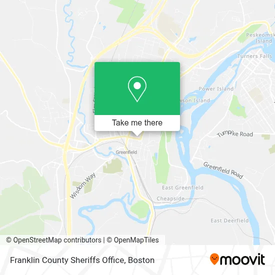
See Franklin County Sheriffs Office, Boston, on the map
Public Transit to Franklin County Sheriffs Office in Boston
Wondering how to get to Franklin County Sheriffs Office in Boston? Moovit helps you find the best way to get to Franklin County Sheriffs Office with step-by-step directions from the nearest public transit station.
Moovit provides free maps and live directions to help you navigate through your city. View schedules, routes, timetables, and find out how long does it take to get to Franklin County Sheriffs Office in real time.
Looking for the nearest stop or station to Franklin County Sheriffs Office? Check out this list of stops closest to your destination: Main St at Ymca; Main St at Mohawk Mall; Greenfield John Olver Transit Ctr; Greenfield Amtrak Station.
Bus: 23, 31, 32, GREYHOUND US0255S, GREYHOUND US0256S, 24, 20, 21, 41, PG.Train: VERMONTER, VALLEY FLYER.
Want to see if there’s another route that gets you there at an earlier time? Moovit helps you find alternative routes or times. Get directions from and directions to Franklin County Sheriffs Office easily from the Moovit App or Website.
We make riding to Franklin County Sheriffs Office easy, which is why over 1.7 million users, including users in Boston, trust Moovit as the best app for public transit. You don’t need to download an individual bus app or train app, Moovit is your all-in-one transit app that helps you find the best bus time or train time available.
For information on prices of bus and train, costs and ride fares to Franklin County Sheriffs Office, please check the Moovit app.
Use the app to navigate to popular places including to the airport, hospital, stadium, grocery store, mall, coffee shop, school, college, and university.
Franklin County Sheriffs Office Address: 466 Main St street in Boston
- J. Lincoln Hirst II Cpa,
- Greenfield Post Office,
- Zion Korean Church,
- Walker Funeral Home,
- Ymca In Greenfield,
- Franklin County Court House,
- Vitopia,
- Greenfield Public Library,
- All Souls Unitarian Universalist Church,
- Greenfield Savings Bank,
- Greenfield Garden Cinemas,
- Greenfield Fire Department,
- People's United Bank,
- Catalpa Coffee,
- Greenfield Historical Society,
- Seymour,
- Smith-Kelleher Funeral Home,
- The People's Pint,
- Epoch Studios,
- The Pushkin
Places Near Franklin County Sheriffs Office (Boston)
- Wang Theater, Boston,
- Mgm Music Hall, Boston,
- Castle Island, Boston,
- Faneuil Hall, Boston,
- Massachusetts General Hospital, Boston,
- Td Garden, Boston,
- Cheers, Boston,
- Museum Of Science, Boston,
- Boston Common, Boston,
- Isabella Stewart Gardner Museum, Boston,
- Boston Children's Hospital, Boston,
- Leader Bank Pavilion (Leader Bank Pavillion), Boston,
- Boston Medical Center, Boston,
- North End, Boston,
- Wilbur Theatre, Boston,
- Prudential Center, Boston,
- House Of Blues, Boston,
- Boston Convention & Exhibition Center, Boston,
- Seaport District, Boston,
- Quincy Market, Boston
How to get to popular places in Boston with public transit
Get around Boston by public transit!
Traveling around Boston has never been so easy. See step by step directions as you travel to any attraction, street or major public transit station. View bus and train schedules, arrival times, service alerts and detailed routes on a map, so you know exactly how to get to anywhere in Boston.
When traveling to any destination around Boston use Moovit's Live Directions with Get Off Notifications to know exactly where and how far to walk, how long to wait for your line, and how many stops are left. Moovit will alert you when it's time to get off — no need to constantly re-check whether yours is the next stop.
Wondering how to use public transit in Boston or how to pay for public transit in Boston? Moovit public transit app can help you navigate your way with public transit easily, and at minimum cost. It includes public transit fees, ticket prices, and costs. Looking for a map of Boston public transit lines? Moovit public transit app shows all public transit maps in Boston with all Bus, Train, Subway and Ferry routes and stops on an interactive map.
Boston has 4 transit type(s), including: Bus, Train, Subway and Ferry, operated by several transit agencies, including MBTA, Southeastern Regional Transit Authority, MetroWest Regional Transit Authority, Rhode Island Public Transit Authority, WRTA, Lowell Regional Transit Authority, Merrimack Valley Transit, Montachusett Regional Transit Authority, Cape Cod Regional Transit Authority, Brockton Area Transit Authority, Martha's Vineyard Transit Authority, the WAVE - Nantucket Regional Transit Authority, GATRA, Cape Ann Transportation Authority and Massport