Directions to Friendly Car Wash II (Boston) with public transportation
The following transit lines have routes that pass near Friendly Car Wash II
 Bus: R10, R14.
- Train: AMTRAK HARTFORD LINE, LAKE SHORE LIMITED, NORTHEAST REGIONAL, VALLEY FLYER, VERMONTER.
How to get to Friendly Car Wash II by bus?
Click on the bus route to see step by step directions with maps, line arrival times and updated time schedules.
From Polar Park, Worcester
101 minFrom Walmart Supercenter, Worcester
159 minFrom South High Community School, Worcester
197 minFrom Worcester, MA, Worcester
100 minFrom Foxwoods, Worcester
129 minFrom Registry Of Motor Vehicles (Rmv) Branch Office, Worcester
104 minFrom Palladium, Worcester
105 minFrom Dcu Center, Worcester
102 min
Bus stops near Friendly Car Wash II in Boston
Train station near Friendly Car Wash II in Boston
- Springfield, 48 min walk,VIEW
Bus lines to Friendly Car Wash II in Boston
What are the closest stations to Friendly Car Wash II?
The closest stations to Friendly Car Wash II are:
- 608 Westfield St is 663 yards away, 9 min walk.
- River / King is 1730 yards away, 21 min walk.
- Springfield is 4067 yards away, 48 min walk.
Which bus line stops near Friendly Car Wash II?
R10 (Westfield State University)
What’s the nearest bus station to Friendly Car Wash II in Boston?
The nearest bus station to Friendly Car Wash II in Boston is 608 Westfield St. It’s a 9 min walk away.
What time is the first train to Friendly Car Wash II in Boston?
The NORTHEAST REGIONAL is the first train that goes to Friendly Car Wash II in Boston. It stops nearby at 4:10 AM.
What time is the last train to Friendly Car Wash II in Boston?
The LAKE SHORE LIMITED is the last train that goes to Friendly Car Wash II in Boston. It stops nearby at 6:04 PM.
What time is the first bus to Friendly Car Wash II in Boston?
The R10 is the first bus that goes to Friendly Car Wash II in Boston. It stops nearby at 5:07 AM.
What time is the last bus to Friendly Car Wash II in Boston?
The R10 is the last bus that goes to Friendly Car Wash II in Boston. It stops nearby at 11:14 PM.
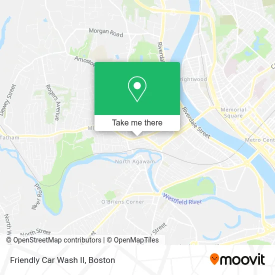
See Friendly Car Wash II, Boston, on the map
Public Transit to Friendly Car Wash II in Boston
Wondering how to get to Friendly Car Wash II in Boston? Moovit helps you find the best way to get to Friendly Car Wash II with step-by-step directions from the nearest public transit station.
Moovit provides free maps and live directions to help you navigate through your city. View schedules, routes, timetables, and find out how long does it take to get to Friendly Car Wash II in real time.
Looking for the nearest stop or station to Friendly Car Wash II? Check out this list of stops closest to your destination: 608 Westfield St; River / King; Springfield.
Bus: R10, R14.Train: AMTRAK HARTFORD LINE, LAKE SHORE LIMITED, NORTHEAST REGIONAL, VALLEY FLYER, VERMONTER.
Want to see if there’s another route that gets you there at an earlier time? Moovit helps you find alternative routes or times. Get directions from and directions to Friendly Car Wash II easily from the Moovit App or Website.
We make riding to Friendly Car Wash II easy, which is why over 1.7 million users, including users in Boston, trust Moovit as the best app for public transit. You don’t need to download an individual bus app or train app, Moovit is your all-in-one transit app that helps you find the best bus time or train time available.
For information on prices of bus, costs and ride fares to Friendly Car Wash II, please check the Moovit app.
Use the app to navigate to popular places including to the airport, hospital, stadium, grocery store, mall, coffee shop, school, college, and university.
Friendly Car Wash II Address: 668 Westfield St street in Boston
- Delta Constable Services,
- Caring Solutions,
- Skin Center,
- USA Mortgage Network, Inc.,
- Water-Vac,
- Kathleen A Weiss, Licsw,
- West of the River Chamber-WRC Agawam / West Springfield,
- Allstar Duct Solutions,
- M and M Accounting Service,
- Angelica Properties,
- Pelletier Richard,
- The Parish Cupboard,
- House Matters,
- A D T,
- Johnson Christopher C Attorney,
- Ivan Karamian Realtor,
- Sarah Cabot - BHHS Realty Professionals,
- Northeast I T Systems,
- Subway,
- Dedicated Drywall
Places Near Friendly Car Wash II (Boston)
- House Of Blues, Boston,
- Prudential Center, Boston,
- Boston Convention & Exhibition Center, Boston,
- Wang Theater, Boston,
- Seaport District, Boston,
- Td Garden, Boston,
- Leader Bank Pavilion (Leader Bank Pavillion), Boston,
- Museum Of Science, Boston,
- North End, Boston,
- Castle Island, Boston,
- Boston Medical Center, Boston,
- Boston Children's Hospital, Boston,
- Boston Common, Boston,
- Quincy Market, Boston,
- Massachusetts General Hospital, Boston,
- Faneuil Hall, Boston,
- Wilbur Theatre, Boston,
- Cheers, Boston,
- Isabella Stewart Gardner Museum, Boston,
- Mgm Music Hall, Boston
How to get to popular places in Boston with public transit
Get around Boston by public transit!
Traveling around Boston has never been so easy. See step by step directions as you travel to any attraction, street or major public transit station. View bus and train schedules, arrival times, service alerts and detailed routes on a map, so you know exactly how to get to anywhere in Boston.
When traveling to any destination around Boston use Moovit's Live Directions with Get Off Notifications to know exactly where and how far to walk, how long to wait for your line, and how many stops are left. Moovit will alert you when it's time to get off — no need to constantly re-check whether yours is the next stop.
Wondering how to use public transit in Boston or how to pay for public transit in Boston? Moovit public transit app can help you navigate your way with public transit easily, and at minimum cost. It includes public transit fees, ticket prices, and costs. Looking for a map of Boston public transit lines? Moovit public transit app shows all public transit maps in Boston with all Bus, Train, Subway and Ferry routes and stops on an interactive map.
Boston has 4 transit type(s), including: Bus, Train, Subway and Ferry, operated by several transit agencies, including MBTA, Southeastern Regional Transit Authority, MetroWest Regional Transit Authority, Rhode Island Public Transit Authority, WRTA, Lowell Regional Transit Authority, Merrimack Valley Transit, Montachusett Regional Transit Authority, Cape Cod Regional Transit Authority, Brockton Area Transit Authority, Martha's Vineyard Transit Authority, the WAVE - Nantucket Regional Transit Authority, GATRA, Cape Ann Transportation Authority and Massport