How to get to Gail Ruth Corson by bus?
Click on the bus route to see step by step directions with maps, line arrival times and updated time schedules.
Bus stop near Gail Ruth Corson in Lexington
- 656 Marrett Rd, 4 min walk,VIEW
Bus lines to Gail Ruth Corson in Lexington
- 76, Alewife Via Hanscom Airport,VIEW
What are the closest stations to Gail Ruth Corson?
The closest stations to Gail Ruth Corson are:
- 656 Marrett Rd is 232 yards away, 4 min walk.
Which bus lines stop near Gail Ruth Corson?
These bus lines stop near Gail Ruth Corson: 62, 76.
What’s the nearest bus station to Gail Ruth Corson in Lexington?
The nearest bus station to Gail Ruth Corson in Lexington is 656 Marrett Rd. It’s a 4 min walk away.
What time is the first bus to Gail Ruth Corson in Lexington?
The 76 is the first bus that goes to Gail Ruth Corson in Lexington. It stops nearby at 6:16 AM.
What time is the last bus to Gail Ruth Corson in Lexington?
The 76 is the last bus that goes to Gail Ruth Corson in Lexington. It stops nearby at 8:25 PM.
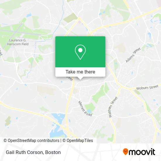
See Gail Ruth Corson, Lexington, on the map
Public Transit to Gail Ruth Corson in Lexington
Wondering how to get to Gail Ruth Corson in Lexington? Moovit helps you find the best way to get to Gail Ruth Corson with step-by-step directions from the nearest public transit station.
Moovit provides free maps and live directions to help you navigate through your city. View schedules, routes, timetables, and find out how long does it take to get to Gail Ruth Corson in real time.
Looking for the nearest stop or station to Gail Ruth Corson? Check out this list of stops closest to your destination: 656 Marrett Rd.
Bus: 62, 76.
Want to see if there’s another route that gets you there at an earlier time? Moovit helps you find alternative routes or times. Get directions from and directions to Gail Ruth Corson easily from the Moovit App or Website.
We make riding to Gail Ruth Corson easy, which is why over 1.7 million users, including users in Lexington, trust Moovit as the best app for public transit. You don’t need to download an individual bus app or train app, Moovit is your all-in-one transit app that helps you find the best bus time or train time available.
For information on prices of bus, subway and train, costs and ride fares to Gail Ruth Corson, please check the Moovit app.
Use the app to navigate to popular places including to the airport, hospital, stadium, grocery store, mall, coffee shop, school, college, and university.
Gail Ruth Corson Address: 10 Harbell St street in Lexington
- Cole Home Improvement,
- DND Homes,
- Susan-Livingston,
- Data Method,
- Exit New Options Real Estate,
- Alternative Vehicle Service Group - Lexington,
- Community Nursery School,
- K M Hoffman Landscape & Irrigation,
- Maria Hastings Elementary School,
- Fiske Hill (92m),
- Treffs Associates,
- Dance Prism,
- Element Lexington,
- Ar Products,
- Aloft Lexington,
- Mit Lincoln Laboratory,
- Lincoln St Locks Plus,
- John P Chase Skating Facility,
- 3017 Old Massachusetts Ave Parking,
- Mina Fife
Places Near Gail Ruth Corson (Lexington)
- Faneuil Hall, Boston,
- Boston Medical Center, Boston,
- Museum Of Science, Boston,
- Td Garden, Boston,
- Castle Island, Boston,
- Mgm Music Hall, Boston,
- Prudential Center, Boston,
- Leader Bank Pavilion (Leader Bank Pavillion), Boston,
- Boston Children's Hospital, Boston,
- North End, Boston,
- Seaport District, Boston,
- Quincy Market, Boston,
- Cheers, Boston,
- Wang Theater, Boston,
- Isabella Stewart Gardner Museum, Boston,
- Wilbur Theatre, Boston,
- Massachusetts General Hospital, Boston,
- House Of Blues, Boston,
- Boston Common, Boston,
- Boston Convention & Exhibition Center, Boston
How to get to popular places in Boston with public transit
Get around Lexington by public transit!
Traveling around Lexington has never been so easy. See step by step directions as you travel to any attraction, street or major public transit station. View bus and train schedules, arrival times, service alerts and detailed routes on a map, so you know exactly how to get to anywhere in Lexington.
When traveling to any destination around Lexington use Moovit's Live Directions with Get Off Notifications to know exactly where and how far to walk, how long to wait for your line, and how many stops are left. Moovit will alert you when it's time to get off — no need to constantly re-check whether yours is the next stop.
Wondering how to use public transit in Lexington or how to pay for public transit in Lexington? Moovit public transit app can help you navigate your way with public transit easily, and at minimum cost. It includes public transit fees, ticket prices, and costs. Looking for a map of Lexington public transit lines? Moovit public transit app shows all public transit maps in Lexington with all Bus, Train, Subway and Ferry routes and stops on an interactive map.
Boston has 4 transit type(s), including: Bus, Train, Subway and Ferry, operated by several transit agencies, including MBTA, Southeastern Regional Transit Authority, MetroWest Regional Transit Authority, Rhode Island Public Transit Authority, WRTA, Lowell Regional Transit Authority, Merrimack Valley Transit, Montachusett Regional Transit Authority, Cape Cod Regional Transit Authority, Brockton Area Transit Authority, Martha's Vineyard Transit Authority, the WAVE - Nantucket Regional Transit Authority, GATRA, Cape Ann Transportation Authority and Massport